Gilchrist, Texas
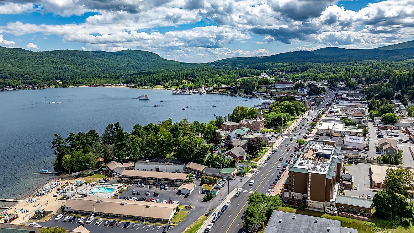
Gilchrist is a community located on the Bolivar Peninsula in Galveston County, Texas. The Peninsula is a long and narrow land to the northeast of Galveston Island, bordered by the Gulf of Mexico and East Bay. The town has a tiny population but is frequented by visitors and tourists.
History Of Gilchrist
The community was formerly called Rollover but now gets its name from Gibb Gilchrist, who was responsible for directing the rail line from High Island to Port Bolivar after the hurricane of 1915.
The community also included Rollover Pass, a small channel cutting through Bolivar Peninsula and connecting East Bay with the Gulf of Mexico. The channel was a natural high tide pass that was widened in 1955. It is a notably popular fishing region, and a large number of desirable fish species can be found in the channel. The channel remained until 2019, when the water flow was blocked up.
Climate Of Gilchrist
Gilchrist has an oceanic climate. Rainfall occurs throughout the year, averaging around 200 mm annually, and humidity averages 77%. However, it is not constantly rainy, as the town experiences over 200 dry days each year. The average annual temperature for Gilchrist is 25° Celsius, averaging a high of 33°C in August and a low of 15°C in January.
Hurricanes In Gilchrist

Because of Gilchrist’s location along the Gulf Coast of the United States and its warm, humid climate, hurricanes often occur in and around the area. In September of 1961, a storm began to form at sea, made its way into the Gulf of Mexico, and by the time it struck land, it was strong enough to be ranked a Category 4 hurricane named Hurricane Carla. The storm did begin to weaken, which is common once hurricanes hit land near Port O’Connor, Texas (between Galveston and Corpus Christi). The storm downgraded to a tropical storm, headed towards Oklahoma, and eventually returned to the Labrador Sea in Canada.
Carla initially brought flooding to Cuba and parts of the Yucatan Penisula. On the other hand, Texas experienced extreme winds upwards of 280 km/hr. This wind caused several tornados, the most destructive of which hit Galveston County, including Gilchrist.
Some 200 buildings were severely damaged in the area, 60 were destroyed completely, and there were a reported 200 injuries and eight fatalities. This tornado was one of only two violent tornadoes reportedly caused by a hurricane. The wind speed in the twister was around 50% stronger than that in Carla at its peak intensity.
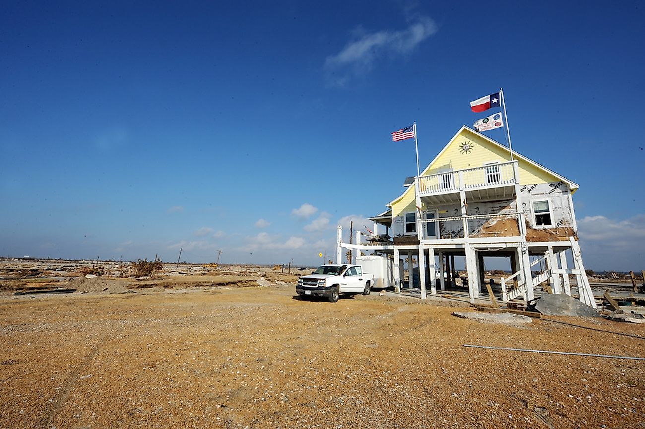
In 2008 Gilchrist was struck again, this time by Hurricane Ike. Ike almost entirely wiped out the whole town, leaving only a few buildings in its wake. At the time of impact, the population of Gilchrist was roughly 1,000 people, but many were forced to evacuate the area.
Ike greatly affected the coastline, reforming it from a smooth coastline to a jagged beach due to the strong tide and violent waves that were caused by the storm. An estimated 99.5% of the homes in Gilchrist were destroyed by the storm, effectively leveling the community.
By January of 2009, Gilchrist and Stowell, Texas, had had very few returning residents. Some 400 houses were bought out the following year, as their location was considered too close to the post-Ike shoreline, and the land would have limited use.
Slowly the community began to rebuild itself and see residents and visitors coming back to the area, but the resurrection of Gilchrist has been slow and limited. Despite this, Gilchrist still holds strong and is seeing the return of tourists and more permanent residents who are slowly building up both the economy and the community population.