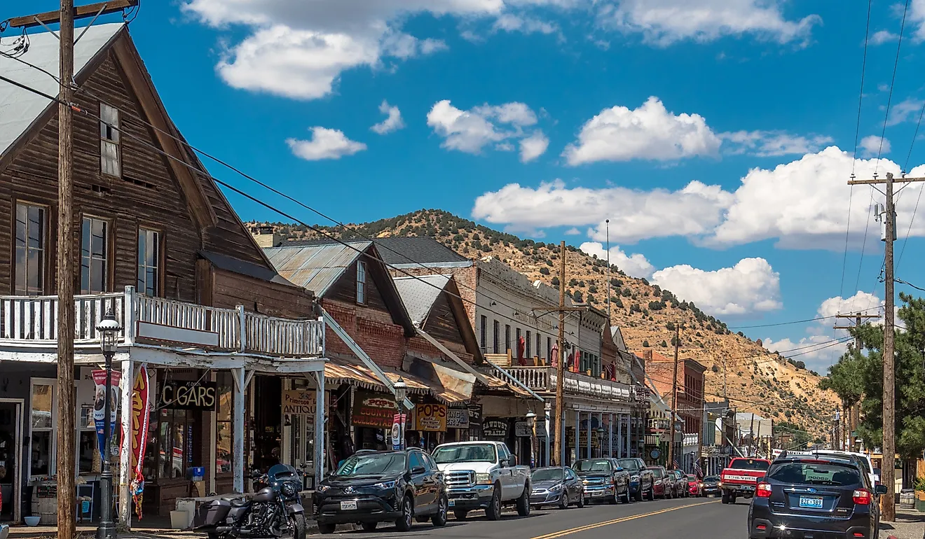
4 Best Gateway Towns To Congaree National Park
One of the easiest national parks to reach, Congaree National Park sits just southeast of Columbia, South Carolina. The park is entered through the Harry Hampton Visitor Center via Bluff Road and a short network of rural access roads. All four towns featured here are located within a 60-minute drive of the main entrance and are selected for their practical role in trip planning. There are no services inside the park, which makes planning ahead essential. Each town provides a clear set of visitor services, such as lodging, restaurants, fuel, groceries, outdoor retail, guided activities, or public transportation, that support a smooth approach to the park. Together, these gateways allow visitors to plan ahead before entering Congaree’s old-growth floodplain forest and elevated boardwalk system.
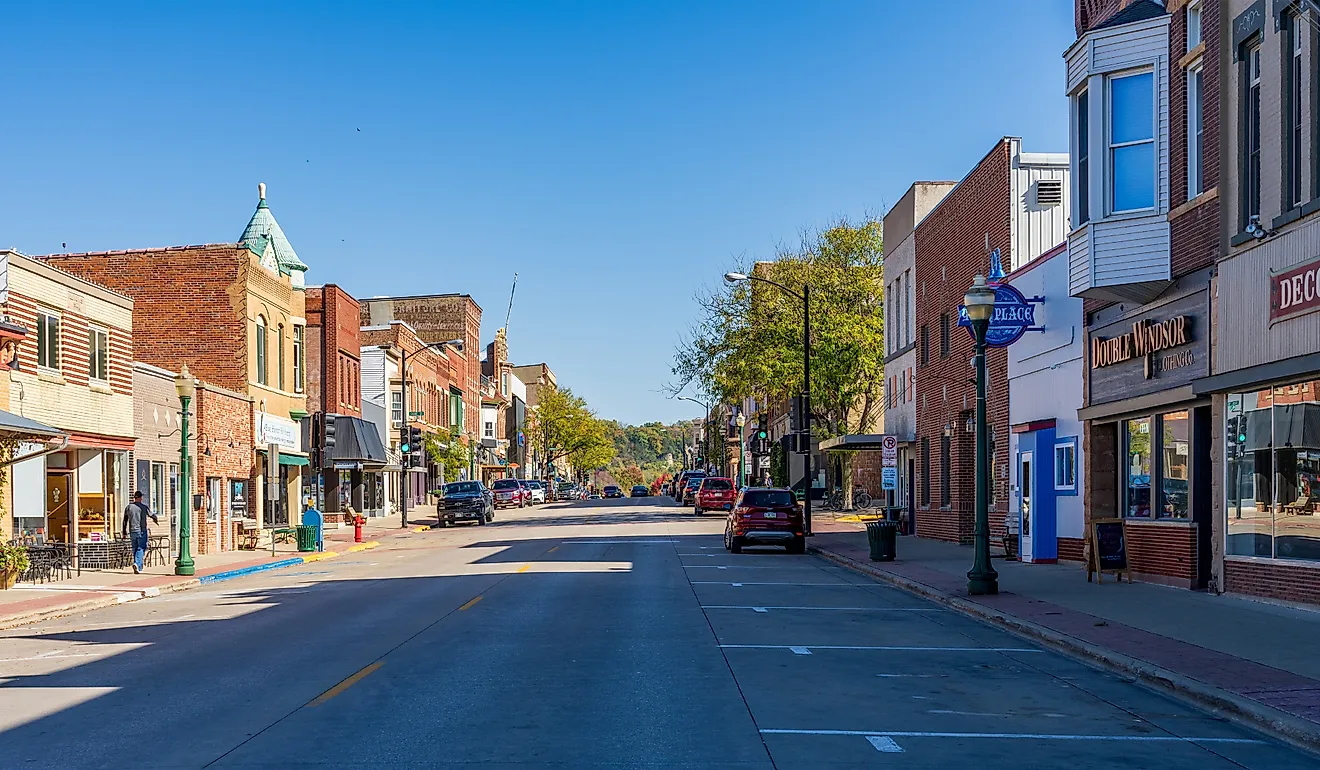
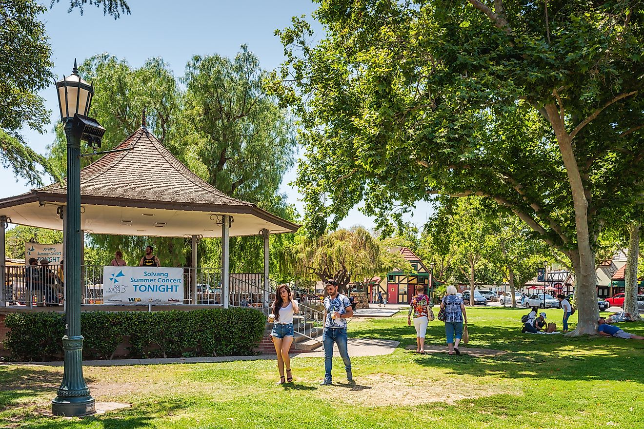
West Columbia

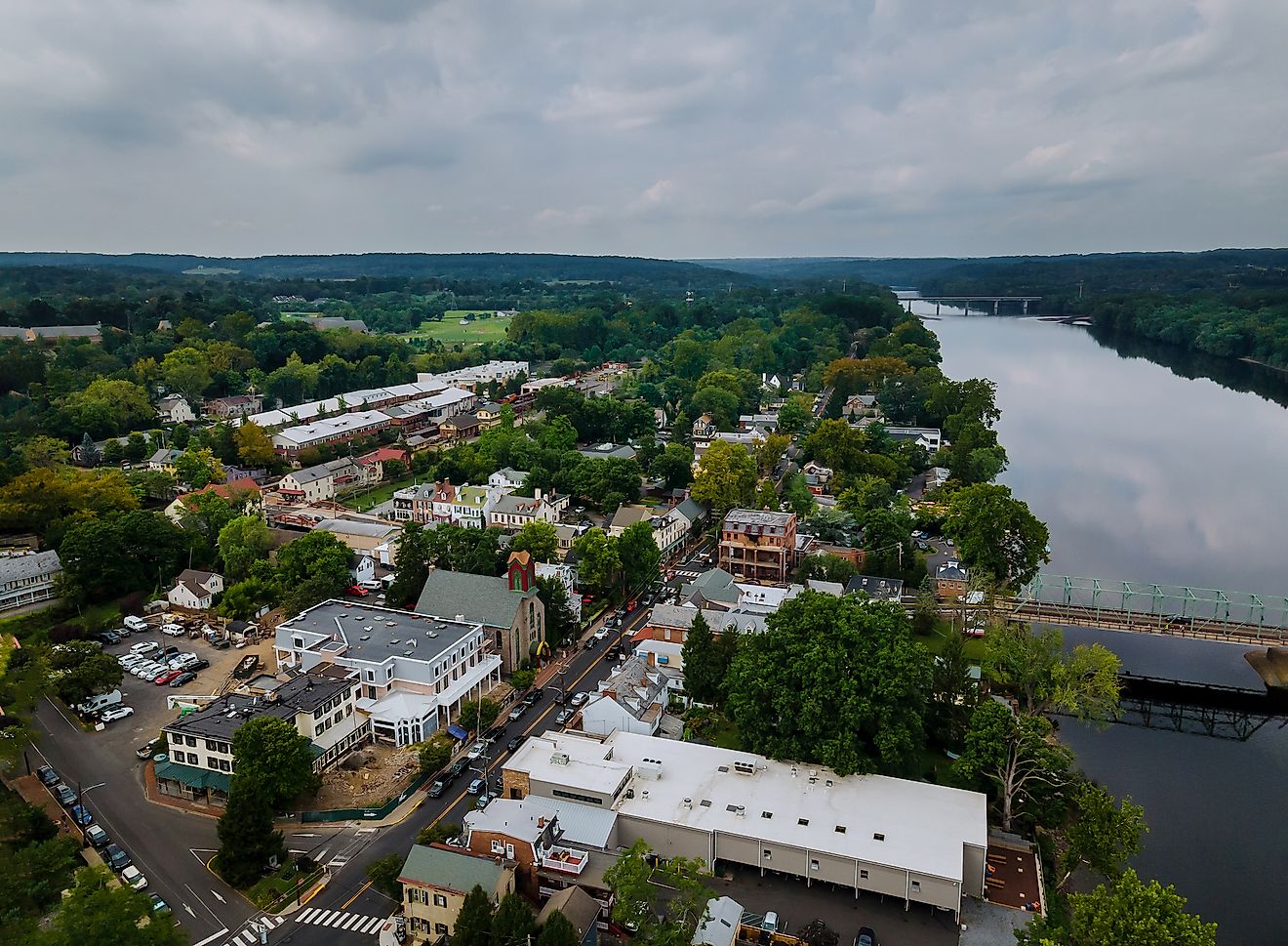
Located directly across the Congaree River from downtown Columbia, West Columbia functions as one of the closest full-service bases for reaching Congaree National Park. Lodging options include Sleep Inn West Columbia-Columbia Airport, positioned along primary approach routes used by park visitors. Dining clusters along Meeting Street and Knox Abbott Drive provide dependable pre- or post-park meals at Café Strudel and Savage Craft Ale Works. Fuel and groceries are easy to arrange before heading into the park corridor, with Shell (24/7), Circle K (24/7), and Publix Supermarket at Gervais Place located close to I-77 and Bluff Road.

West Columbia also supports park-oriented trips through outfitters and guided services. Palmetto Outdoor operates locally and runs guided kayaking and canoe trips on Cedar Creek and the Congaree River, including shuttle-supported routes through old-growth floodplain forest. For equipment and clothing, Half-Moon Outfitters sells camping, hiking, and water sports gear, including established outdoor footwear and apparel brands. Drivers reach the park by following SC-48 (Bluff Road) southeast, then continuing onto South Cedar Creek Road and Old Bluff Road to the Harry Hampton Visitor Center. Visitors without a car can use COMET Route 47, which runs from the West Columbia-Columbia area to a stop near the visitor center.
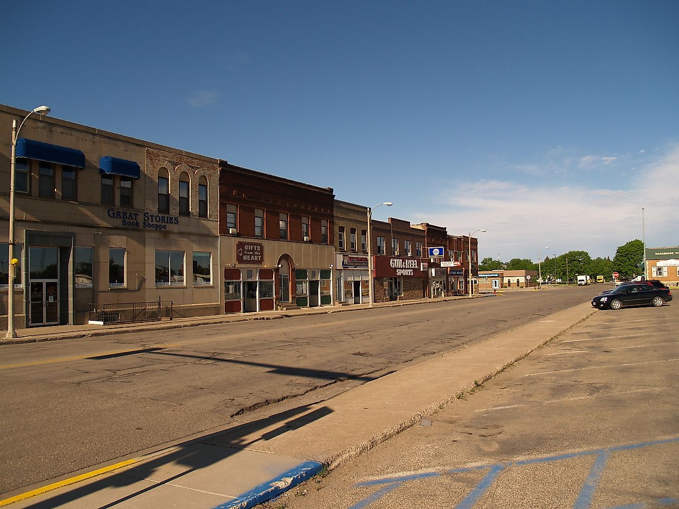
Cayce

Set along the lower Congaree River corridor, Cayce works as a pared-down gateway for travelers who want efficient access without navigating a large commercial district. The drive to the park averages about 26 minutes, depending on traffic. Lodging near I-26 includes Masters Inn, positioned for quick departures toward Bluff Road. Dining options are many, with Steel Hands Brewing for drinks and D & D Country Cooking, an American restaurant known for simple and filling meals. Fuel stops are available at Exxon, while groceries can be picked up at Food Lion, allowing visitors to stock up before heading into the park corridor.

Transportation access remains Cayce’s main advantage. COMET Route 47 runs from Cayce and downtown Columbia to a stop near the Harry Hampton Visitor Center, making it possible to reach the park without a car. Drivers follow SC-48 (Bluff Road) southeast, then continue onto South Cedar Creek Road and Old Bluff Road to reach the entrance. While outdoor retail options within Cayce are limited, several well-regarded outfitters operate nearby in Columbia, including Barron’s Outfitters, located about 5.7 miles away and offering gear for paddling, fishing, and backcountry use in and around Congaree.
Lexington

Lexington offers a larger commercial base than the closer-in gateways, making it a practical option for visitors who want more choices. The drive to the Harry Hampton Visitor Center typically takes about 40 minutes, depending on traffic. Lodging is concentrated along U.S. Route 378, with dependable options such as Hampton Inn & Suites Lexington Columbia and Quality Inn Lexington- Horse Park. Restaurants cluster along the same corridor, including O’Hara’s Public House and Libby’s, which work well for a full meal before or after a park visit. Fuel is readily available at Shell and BP, while groceries can be picked up at Publix Super Market at Hendrix Crossing or Lidl, a lower-cost option for stocking up on trail food and supplies.

While Lexington itself focuses on core services, outdoor retail is close by. Mountain High Outfitters is located about 11 miles away in the Columbia area and carries camping, hiking, paddling, and footwear brands suited to Congaree’s terrain. Drivers typically leave Lexington via U.S. 378 toward Columbia, then connect to SC-48 (Bluff Road) before continuing onto South Cedar Creek Road and Old Bluff Road to reach the park entrance.
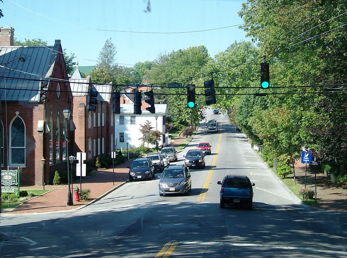
Camden

This town works best as a plan-ahead base for visitors who prefer to settle in before an early drive into the national park. The drive to the Harry Hampton Visitor Center typically takes about 42 minutes, keeping the town within a comfortable morning window. Lodging is concentrated along U.S. Route 521, with dependable options such as Comfort Inn & Suites and Hampton Inn, both positioned for efficient departures. Dining options are spread between the historic downtown and nearby corridors, with established stops including Sam Kendall’s and Camden House of Pizza, which provide pre- or post-park meals.
Fuel is readily available at Exxon and BP stations, while groceries can be picked up at Food Lion, allowing visitors to stock up before leaving town. For outdoor clothing and casual wear, Pee Dee Outfitters serves as a local retail stop, carrying well-known brands such as Patagonia and Columbia. Drivers typically head south toward the Columbia area, then connect with SC-48 (Bluff Road) before continuing onto South Cedar Creek Road and Old Bluff Road to reach the park entrance.
Within The Hour Of Congaree
Choosing the right base town makes a clear difference when planning a visit, especially when all options sit within a 60-minute drive. West Columbia offers the most direct approach, combining outfitter access, dining clusters, lodging, fuel, groceries, and public transit tied to the park entrance. Just south of the city core, Cayce provides a compact setup with lodging, fuel, groceries, local dining, and rare bus access to the visitor center. Lexington adds broader hotel, restaurant, grocery, fuel, and nearby outdoor retail options within a straightforward drive window. Farther north, Camden rounds out the list as a calm overnight base with dependable lodging, food, fuel, groceries, and clothing outfitting before an early park entry.