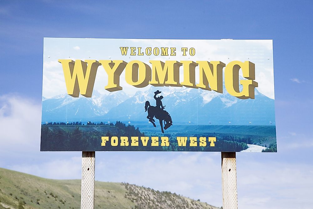
Which States Border Wyoming?
Wyoming is found in the western region of the United States. It covers an area of 97,914 square miles, making it one of the nation's largest states by land area. Human societies have lived within Wyoming's borders from 13,000 years ago. The Arapaho, Blackfeet, and Crow are some of the Native American communities that lived within Wyoming's boundaries. Presently, Wyoming shares its boundaries with six states: Nebraska, Montana, Idaho, Colorado, South Dakota, and Utah.
Nebraska
Wyoming shares a portion of its eastern border with Nebraska. The boundary between Wyoming and Nebraska follows a relatively straight line. During the 19th century, a portion of Wyoming's territory was considered part of Nebraska. However, the land was later incorporated into Wyoming after the formation of the Wyoming Territory. Several rivers cross the Wyoming-Nebraska border such as the North Platte River and the Horse Creek.
Montana
Wyoming shares its entire northern border as well as a small part of its western border with Montana. In 1864, the Montana Territory was created, and roughly four years later in 1868, the Wyoming Territory was established. After the establishment of the two territories, the leaders met and agreed on the position of the boundary between them.
Idaho
Idaho and Wyoming are separated by a border located in the western section of Wyoming. Initially, Wyoming was part of Idaho but later separated after the formation of the Wyoming territory. The most famous river crossing the Wyoming-Idaho border is the Snake River. The Snake River is one of the most significant rivers in the area as it flows for 1078 miles and drains in a basin whose size is 108,000 square miles.
Colorado
Wyoming shares a large portion of its southern border with Colorado. Examples of rivers that flow through the Wyoming-Colorado border are the North Plate River and the Laramie River. The Laramie River is a significant tributary of the North Platte River. It is 280 miles by length and drains into a 564 square miles basin.
South Dakota
Wyoming and South Dakota are separated by a border located in the eastern section of Wyoming. The Cheyenne River flows through the Wyoming-South Dakota border. The river is 295 miles long.
Utah
Utah and Wyoming are separated by a boundary situated in the southwestern section of Wyoming. The Flaming Gorge Reservoir is one of the most significant hydrological features along the Wyoming Utah border. The reservoir is the largest in Wyoming, covering an area of 65.6 square miles.


