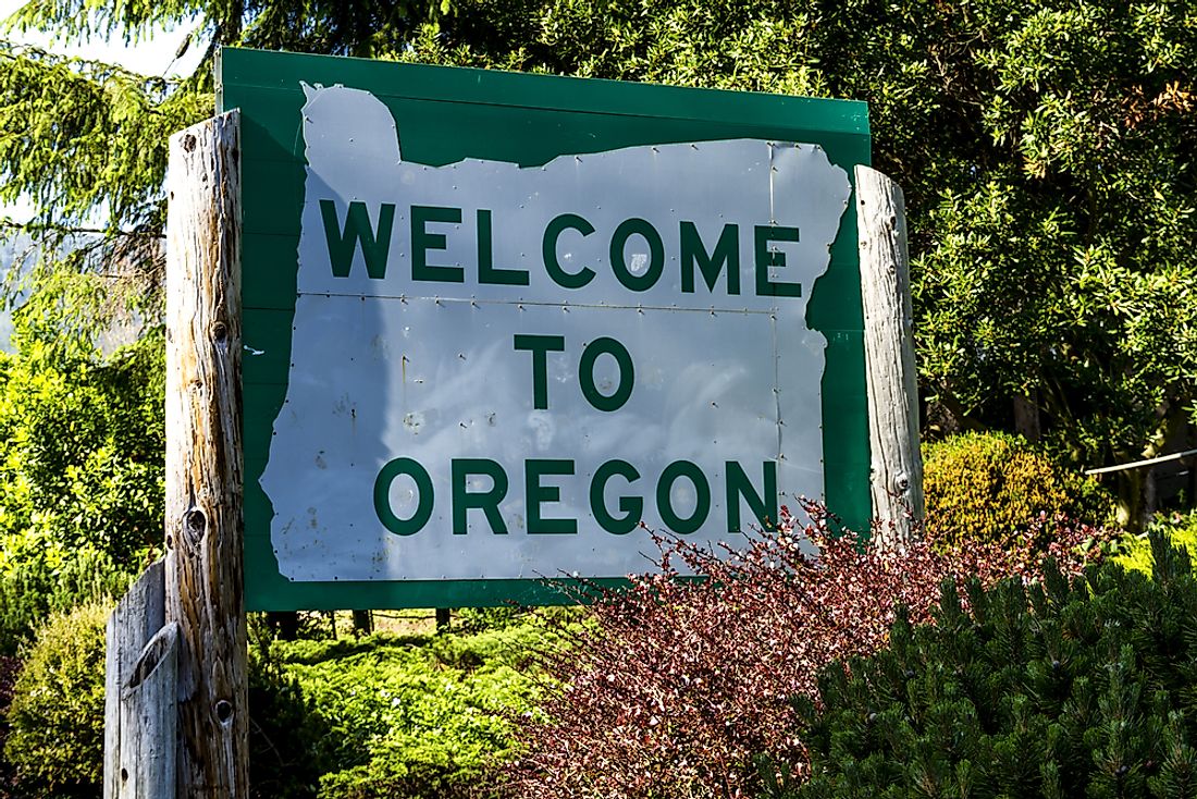
Which States Border Oregon?
Oregon is an American state located in the country's northern region. Human communities have lived within the present day borders of Oregon for more than 15,000 years. Some of the Native American communities who settled in Oregon include the Klickitat, Bannock, and Umatilla. The arrival of the Europeans marked the beginning of a new age in Oregon's history. The Spaniards were the first to explore Oregon during the mid 16th century, and the first settlement was established in the early 19th century. In the modern era, Oregon shares its boundaries with four other states: Washington, California, Nevada, and Idaho.
History of Oregon's Borders
During the 18th century, several nations competed for the territory of Oregon including Spain, the US, the UK, and the Russian Empire. By the end of the 1820s, Spain and Russia had withdrawn their claims to the region by signing various treaties with the US and the UK. The agreements ensured that the US and the UK obtained more territory in the area. The dispute between the UK and the US over control of the region became a significant issue in their diplomatic relationship. The territorial dispute was also a significant issue in the US presidential election at the time. The Democratic Party believed that the US should annex the entire area as soon as possible. In 1846, the UK and the US signed a treaty to end the dispute over the Oregon boundary. This treaty was unclear on the ownership of the San Juan Island and the German Kaiser, Wilhelm I, was chosen to arbitrate the dispute. He chose a three-person commission to look over the issue which in 1872 declared that the island belonged to the US. As a result of the declaration, the Haro Strait became the boundary between land owned by the US and the UK.
States Bordering Oregon
Washington
The border that separates Washington and Oregon is located in Oregon's northern part. The Columbia River forms a significant portion of the border between the two states. The river flows for about 1,243 miles and drains an area of 258,000 square miles. Other major rivers that cross the boundary between the two states include the Imnaha River and the Willow Creek. Because of the shift in the course of the Columbia River, it has been difficult to ascertain the exact position of the boundary between the two states. In 2016, Oregon and Washington signed a compact to determine the exact position of the boundary along the Columbia River. There are several significant towns located on the Oregon side of the border such as Milton-Freewater and Saint Helens. Some of the important towns located on the Washington side of the border include Hood River, Vancouver, and Kennewick. Saint Helens is one of the major cities in Oregon and it is the administrative center of Columbia County. Henry Montgomery established the town in 1845 and named it Plymouth. The town was renamed Saint Helens in 1850 because it had a terrific view of Mount St. Helens. Vancouver is an important city in Washington because it is the administrative center of Clark County. In 2016, the city was ranked among the best places to live in the US.
California
Oregon and California are separated by a boundary located in the southern part of Oregon. Several rivers cross the border between California and Oregon such as the Illinois River and the Bear Creek. The Illinois River flows for about 273 miles and is one of the Mississippi River's most important tributaries. The river drains an area of 28,070 square miles. Another major hydrological feature located along the border between California and Oregon is Goose Lake which has a surface area of 147 square miles. The lake has dried up several times such as in 1851, 1929, and 2013. Several major towns are located on the Oregon side of the borders such as Brookings and Klamath Falls. Some of the towns located on the California side of the border include Dorris, Tulelake, and Crescent City. In 2018, a wildfire was experienced near the border between Oregon and California which caused a road that linked the two states and had to be closed.
Nevada
Oregon shares a portion of its southern border with Nevada. The boundary between the two states follows a relatively straight line. One of the unique locations on the boundary between the two states is McDermitt. The town is unincorporated community that was named after Charles McDermit. In 2010, it was estimated that the town was home to 513 people most of whom were Native Americans. Some of the major towns located on the Nevada side of the border include Denio and Rowland. Denio was established in 1885 and named after the founder Aaron Denio. After the Second World War, several businesses moved to the city to take advantage of Nevada's favorable laws.
Idaho
Oregon shares its entire eastern border with Idaho. The border follows a relatively straight line except for the section that traces the path of the Snake River which meanders following the course of the river. The river flows for about 1,078 miles and is the Columbia River's largest tributary as well as the 13th longest river in the country. The Snake River drains an area of 108,000 square miles which encompasses territory in 6 US states. Other major rivers that cross the boundary between the two states include the Powder River, the Malheur River, and the Owyhee River. The Malheur River flows for about 190 miles and drains an area of 4,700 square miles. The Owyhee River is 346 miles long and drains an area of 11,049 square miles. During the mid 19th century gold was discovered in some sections of the river's drainage basin. The discovery caused a large number of people to settle in the area temporarily as they mined the gold. The US Congress declared that a 120 mile stretch of the river was a protected area.


