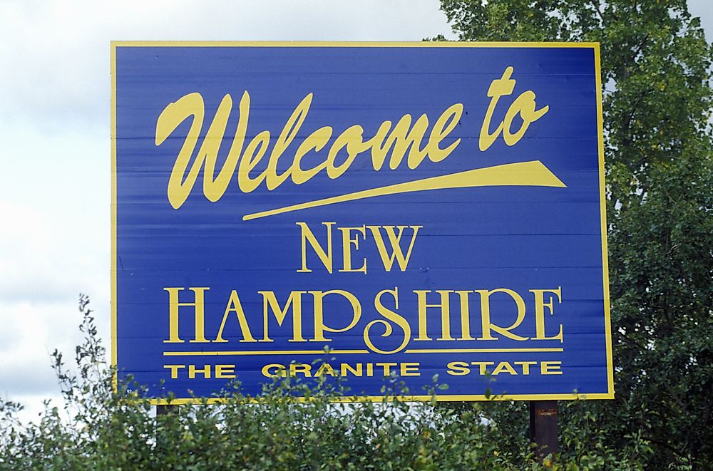
Which States Border New Hampshire?

New Hampshire is a US state found in New England. It covers an area of 9,349 square miles. An example of a Native American community that lived in New Hampshire was Abenaki. New Hampshire shares its borders with three states: Massachusetts, Maine, and Vermont. New Hampshire also shares its borders with Quebec, a province in Canada.
Massachusetts
New Hampshire shares its entire southern border with Massachusetts. The history about the Massachusetts and New Hampshire border dates back to the colonial era when both states were provinces. During this period, the leaders of Massachusetts and those of New Hampshire had a dispute on the position of their shared border. The Massachusetts government believed that some of the territories in New Hampshire should be under their jurisdiction. On the other hand, the New Hampshire leaders thought that the boundary between the two states should be located on the northern edge of the Merrimack River's mouth. In the mid-18th century, New Hampshire presented the dispute to King George II. In 1740, the king ruled in favor of New Hampshire by giving the province more land than claimed. The king's decision permanently resolved the border dispute between Massachusetts and New Hampshire.
Vermont
New Hampshire shares its western border with Vermont. The Connecticut River forms a significant portion of the boundary between the two states. New York and New Hampshire had a border dispute in the mid-18th century. The case was taken to King George II who ruled in favor of New York. Part of the territory awarded to New York later broke away to form the independent Republic of Vermont. At this time, the leaders of Vermont claimed that part of the New Hampshire's territory found east of the Connecticut River. However, Congress decided that before Vermont officially joined the Union, their leaders had to give up their claim to New Hampshire's territory. In 1782, the legislature of Vermont agreed to the terms Congress had set out and the matter was resolved. In the early 20th century, New Hampshire and Vermont got into another border dispute that was taken to the Supreme Court. In its 1933 ruling, the court decided that the border between the two states would be the western bank of the Connecticut River. The court also ruled that the Attorney Generals of both states should jointly survey the border every seven years.
Maine
Maine State is located east of New Hampshire. The boundary between New Hampshire and Maine follows a relatively straight line except for the southern section that meanders following the path of the Salmon Falls River. Other rivers that cross the boundary between Maine and New Hampshire include the Androscoggin River and the Saco River. Umbagog Lake is also located along the boundary of the two states. New Hampshire and Maine had a boundary dispute over the control of the Seavey's Island located on the Piscataqua River. The island had strategic significance because it was the site of a naval shipyard used by the US Navy. In 2000, the issue was presented to the Supreme Court. The court ruled that Seavey’s Island was under the Maine jurisdiction. Some of the cities situated on the Maine side of the boundary include Andover and Wilson Mills. Union and Dover are found on the New Hampshire side of the border.


