Which States Border Nevada?
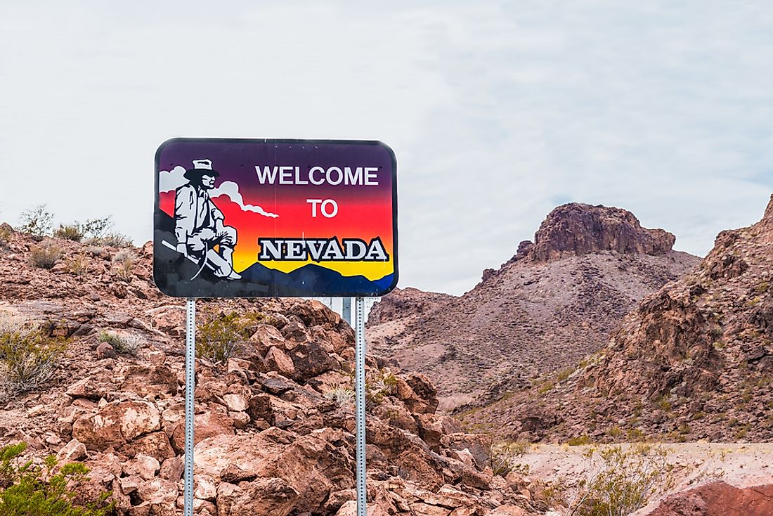
Nevada is bordered by Arizona to the southeast, Utah to the east, California to the west, and to the north by Idaho and Oregon. The state is the 7thlargest and among the most sparsely populated states in the US. The state joined the union on October 31, 1864, as the 36th state.
Arizona
The border between the state of Nevada and Arizona in the year 1863 was the 37th parallel. It was also the border when Arizona had not yet been carved out of the New Mexico territory. The area Longitude 37 degrees west of Washington, north, and west of the Colorado River was later attached to Nevada in 1866 by Congress. The decision had been as a result of agitation which began in 1865 by Senators from Nevada to move Nevada's eastern border by one additional degree. The proposed bill passed in the Senate but failed to get consideration in the House as the session had already ended. The initial bill, however, did not include the area south of the 37th parallel. The bill was later revived the following year with an additional provision to add territory to the South of Nevada by continuing the eastern boundary south of the 37th parallel all the way to the Colorado River and then along the river to the border with California. The Bill managed to pass despite protests from delegates from Utah and Arizona. The reason behind granting Nevada the additional territory is not known, but experts reckon that the decision was driven by the consideration that Nevada was mainly arid and would thus need a larger area to meet the needs of its population. The land lost by Arizona to Nevada is greatly felt today as the area would later experience rapid development due to the rise of Las Vegas.
Oregon
The establishment of the border with Idaho and Oregon was quite straight forward. In 1819, the Adams-Onis treaty signed by Spain and the US established the border at the 42nd parallel. The border remained as such for thirty-one years until the creation of the Territory of Utah in 1850. A section of the boundary was firmly settled when Oregon joined the union in 1859 with its southern border at the 42nd parallel. In 1880, Nevada was suffering severe economic problems. Its legislature, therefore, asked the Congress to grant it a territory on the southern part of Idaho which was known to have silver mines. The bill was passed by Congress in 1887 but was rejected by President Grover Cleveland following a protest by politicians from Idaho.
Utah
Southeastern Idaho was part of the larger Provincial state of Deseret between 1849 and 1850, which had been established by the Mormons. The Mormon territory was not favorable to Congress and was thus chipped away giving some of its portions of the proposed state to Idaho and present-day Utah. The southern border with the state of Nevada was established through a treaty between Spain and the United States in 1819. Nevada territory was created in 1861 after the Southern state which had been in opposition to the idea seceded between 1860 and 1861. Nevada’s initial eastern border was set as the 39th meridian to the west of Washington. Congress added an additional degree of Longitude the following year to the territory to Nevada from the territory of Utah. Nevada gained statehood in 1864. In 1866, the new state of Nevada was granted territory from Utah through an additional line on longitude along the eastern border. The new border was set at the 37th degree to the west of Washington. Nevada was granted the additional territory because it wanted to take up the Pahranagat, a rich mining area. Efforts to gain the additional area were aided by the state’s political clout, the need to compensate Nevada for the unsuccessful bid to get additional territory from California in 1862, and the strained ties between the Mormons and the Federal government.
California
Following the discovery of silver and gold mines near Virginia City, residents of California wanted the area annexed as opposed to having the area under the Territory of Utah. The proposal by representatives of California was to move the border to the 118th meridian from the 120th Meridian west of the Greenwich, from the 42nd parallel to the intersection with California’s diagonal eastern border. Congress, however, decided to create the territory of Nevada. Nevada wanted to have its western border at the crest of the Sierra Nevada. California at the time (1850) was already a state, and Congress could not change the borders arbitrarily as was possible with territories. Nevada, therefore, sent its representatives west in 1862 to try and convince California to cede its territory to the east of Sierra Nevada. The idea to move the border seemed logical as the Sierra Nevada formed a natural border. However, the efforts by Nevada were unsuccessful as California was not willing to cede any of its lands. The idea was hard to sell because most of the borders to the west of the country were determined along the lines of latitude and longitude. Following the unsuccessful negotiations, Congress granted Nevada territories from Utah and Arizona territory. Nevada also tried to convince California to move the border in 1871 but once again it was unsuccessful.


