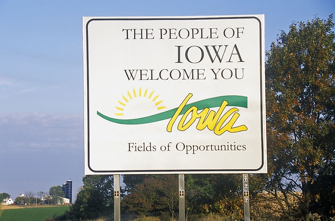
Which States Border Iowa?

Iowa is a state in the Midwest and the 26thlargest state in the country. Since the arrival of the Europeans in the region, the borders of Iowa have undergone significant changes. Initially, the territory of Iowa was split between Spanish Louisiana and French Louisiana. The US then acquired the area after the Louisiana Purchase. In the modern era, Louisiana shares its borders with six states: South Dakota, Wisconsin, Missouri, Nebraska, Minnesota, and Illinois.
South Dakota
South Dakota borders Iowa to its northwest. There are several major cities on the South Dakota side of the border, such as Canton and Sioux Falls. Some of the towns situated on the Iowa side of the border include Orange City and Le Mars.
Wisconsin
The Wisconsin border lies at Iowa's north-eastern edge. Part of the boundary between Wisconsin and Iowa is formed by the Upper Iowa River, which is a major tributary of the Mississippi River. The Turkey River also forms part of the border between the two states. One of the major features on the border between the two states is the Dubuque–Wisconsin Bridge which crosses the Mississippi River and links the county of Dubuque in Iowa to Grant County in Wisconsin.
Missouri
The border that separates Missouri and Iowa is at Iowa's southern edge. The boundary with Missouri has traditionally been one of Iowa's most contentious boundaries. In 1839, Missouri and Iowa were involved in a border conflict called the Honey War. Iowa and Missouri were contesting a strip that was roughly 9.5 miles wide. The dispute was caused by issues such as vague wording in the constitution of Missouri regarding its borders as well as confusing treaties that were signed with Native American communities. The conflict was referred to as the honey war because three trees in Iowa containing bee hives were allegedly cut down by a tax collector from Missouri. In 1847, the two states presented the issue to the Supreme Court. In 1849, the Supreme Court issued a ruling in Iowa's favor and ordered a commission made up of surveyors from both states to survey and mark the border.
Nebraska
A border separates Nebraska and Iowa on the western edge of Iowa. One of the towns located along the border between Nebraska and Iowa is Carter Lake. The town is famous because it is Iowa's only city which is located on the western edge of the Missouri River. In 1877, a flood changed the course of the Missouri River and resulted in the formation of an oxbow lake. Soon after the change in the river's course, Nebraska and Iowa were involved in a dispute on the position of the border. The states took the issue to the Supreme Court which ruled in Iowa's favor. Nebraska and Iowa were also in a border dispute in the 20th century which was resolved by the Supreme Court in 1972.
Minnesota
The boundary that separates Iowa and Minnesota is on Iowa's northern edge. Several rivers flow across the boundary between Iowa and Minnesota such as the Des Moines River, the Cedar River and the Shell Rock River. Some of the major towns located along the Iowa side of the border include Rock Rapids, Northwood, and Cresco. Several towns also located on the Minnesota side of the border such as Fairmont, Jackson, and Austin. Rock Rapids is one of Iowa's most important cities because it is the seat of Lyon County. In 2010, it was estimated that Rock Rapids was home to 2,549 people. Jackson is a famous city in Iowa because it is the seat of Jackson County.
Illinois
Illinois and Iowa are separated by a border located on the eastern edge of Iowa. The Mississippi River forms a significant portion of the boundary between Iowa and Illinois. Other rivers that cross the border between the two states include the Skunk River and the Iowa River. There are several important towns located along the border between Illinois and Iowa such as Davenport and Moline which are part of the Quad Cities.


