Which Countries Border Somalia?
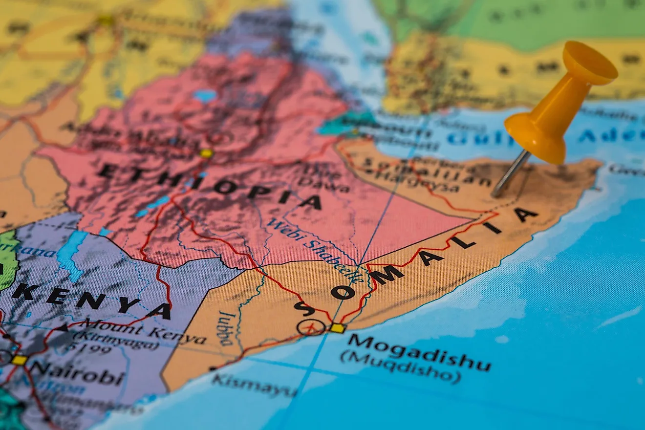
Somalia (offcially the Federal Republic of Somalia) is a country in East Africa. Somalia covers an area of approximately 246,201 square miles and is unique because it has the most extensive coastline of all the countries on the African mainland. The country has a land border which covers a length of roughly 1,482 miles. Somalia shares a border with three countries: Kenya, Djibouti, and Ethiopia. The country also has a border the Gulf of Aden which is located to the northern region and the Indian Ocean and Guardafui channel to the east, which separates the country from Socotra.
Somalia's present-day boundaries trace their roots to the medieval period when Islam was introduced to the country. During this time, some dynasties sprung up, and some greatly expanded the Somali territory. One of the best-known dynasties in Somalia's history was set up by Sultan Fakr ad-Din. During the colonial period, despite one of the most impressive resistances in Africa's history, Somalia fell under the control of the British and the Italians. By the end of the Second World War, Britain had control of both their section of Somalia as well as the Italian section. In 1960, the two sections combined and formed the Somali Republic. During this period, Somalia relied on the borders negotiated by the British and the Italians.
Djibouti
Somalia and Djibouti are separated by a border that is roughly 38 miles long and is situated on the northwestern edge of Somalia. On the Djibouti side of the border, there is only one area through which people can legally cross into Somalia, Loyada. Loyada was one of the most critical sites when creating the border between Djibouti, then referred to as French Somaliland, and the British section of Somalia. The border was finally decided in 1888, and it traces a relatively straight line from Loyada to Jaldessa.
Ethiopia
Ethiopia and Somalia are separated by a border approximately 1,019 miles long situated on the western edge of Somalia. The border between the two nations has been one of the most contested borders in the Horn of Africa region. The conflict between the two nations is often traced back to Imam Ahmad ibn Ibrahim al-Ghazi, a Somali leader, whose aim was to conquer the entire territory of Ethiopia. Ahmad was relatively successful as he managed to capture close to 75% of Ethiopia's territory. The Ethiopians managed to hold on to their control of the region by getting support from the Portuguese under the leadership of Cristóvão da Gama.
Kenya
Somalia and Kenya are separated by a border roughly 625 miles long that is situated on the southwestern edge of Somalia. During the 1960s the border was the site of a conflict that would later come to be known as the Shifta War. The war was a result of a large number of Somali people who wanted to secede from Kenya and join the proposed Greater Somalia. According to several non-governmental organizations, more than 10,000 people lost their lives during the conflict. The conflict was resolved after the leaders of both nations signed a treaty in Arusha in 1967.


