Ozark Mountains
The Ozark Mountains, also known as the Ozark Plateaus or simply as Ozarks, are a highland region in the south-central United States. The plateau extends from St. Louis in Missouri to the Arkansas River and covers parts of Kansas, Missouri, Oklahoma, and Arkansas. It is the most rugged highland region between the Rocky Mountains and the Appalachian Mountains, spanning about 120,000 square kilometers. The Ozarks and the Ouachita Mountains form the US Interior Highlands. The Ozark Mountains are divided into three distinct plateaus or ranges: Boston, Salem, and Springfield Plateaus. Most of the highest peaks in the region are located in the Boston Mountains, with Buffalo Point as the highest point at 781 meters above sea level.
Naming And Location

The name “Ozark” may have been derived from an English word that was itself adapted from the French word “aux,” meaning “to/at/of.” The abbreviation was often used alongside “Arc or Arcansas (Arkansas)” to refer to Arkansas trading post in the Arkansas Delta near the Mississippi-Arkansas River confluence. Sometimes later, the word “aux” was used to refer to the Ozark Plateau that drained into the Missouri and Arkansas Rivers. Alternatively, “Aux arc” was used to refer to the topmost bend (arc) of the Arkansas River, where travelers would briefly stop to explore the Ozark region.
The Ozark Plateau is a group of highlands in the Mid-Western and South Central United States and a physiographic region between the Rockies and the Appalachian Mountains. Although the Ozarks cover approximately 120,000 square kilometers, about two-thirds of the area is in southern Missouri. A significant portion also covers northern Arkansas and northwestern Oklahoma. A small area also covers Kansas’ southeastern corner. In Arkansas, the Ozarks form one of the state’s six physiographic divisions. Some of the cities in the Ozark region include Bentonville, Fayetteville, Fort Smith, Eureka Spring, Springdale, and Branson.
Geography Of The Ozark Mountains

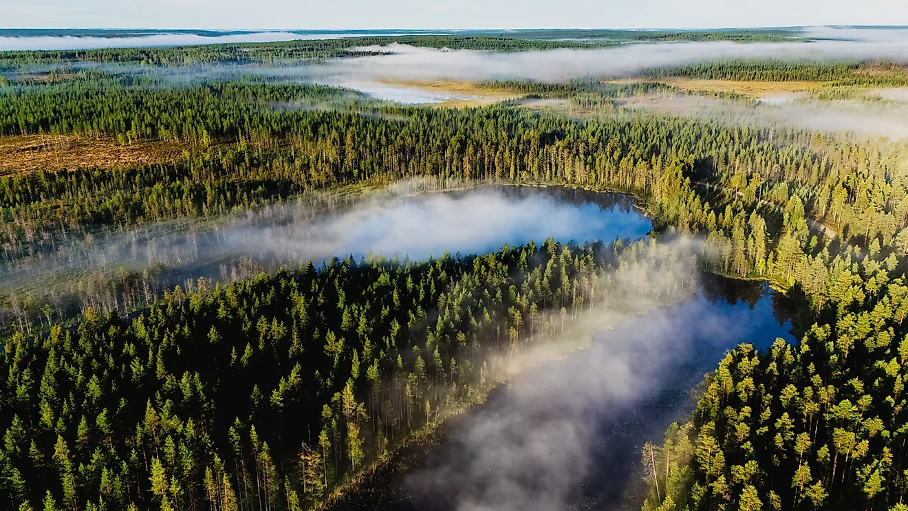
The Ozark Plateau is divided into three distinct and separate plateaus; Boston, Springfield, and Central (Salem) plateau. The three plateaus differ in geology, topography, vegetation, culture, history, and land use. The Ozark Plateau is a source of several rivers and streams. Some of these rivers were dammed mainly by the Army Corps of Engineers to create lakes. The lakes include Taneycomo, Beaver, Table Rock, Bull Shoals, and Norfork, all formed by damming the White River. Other lakes include Truman, Grand, Pomme de Terre, Stockton Lake, among others.
Boston Plateau
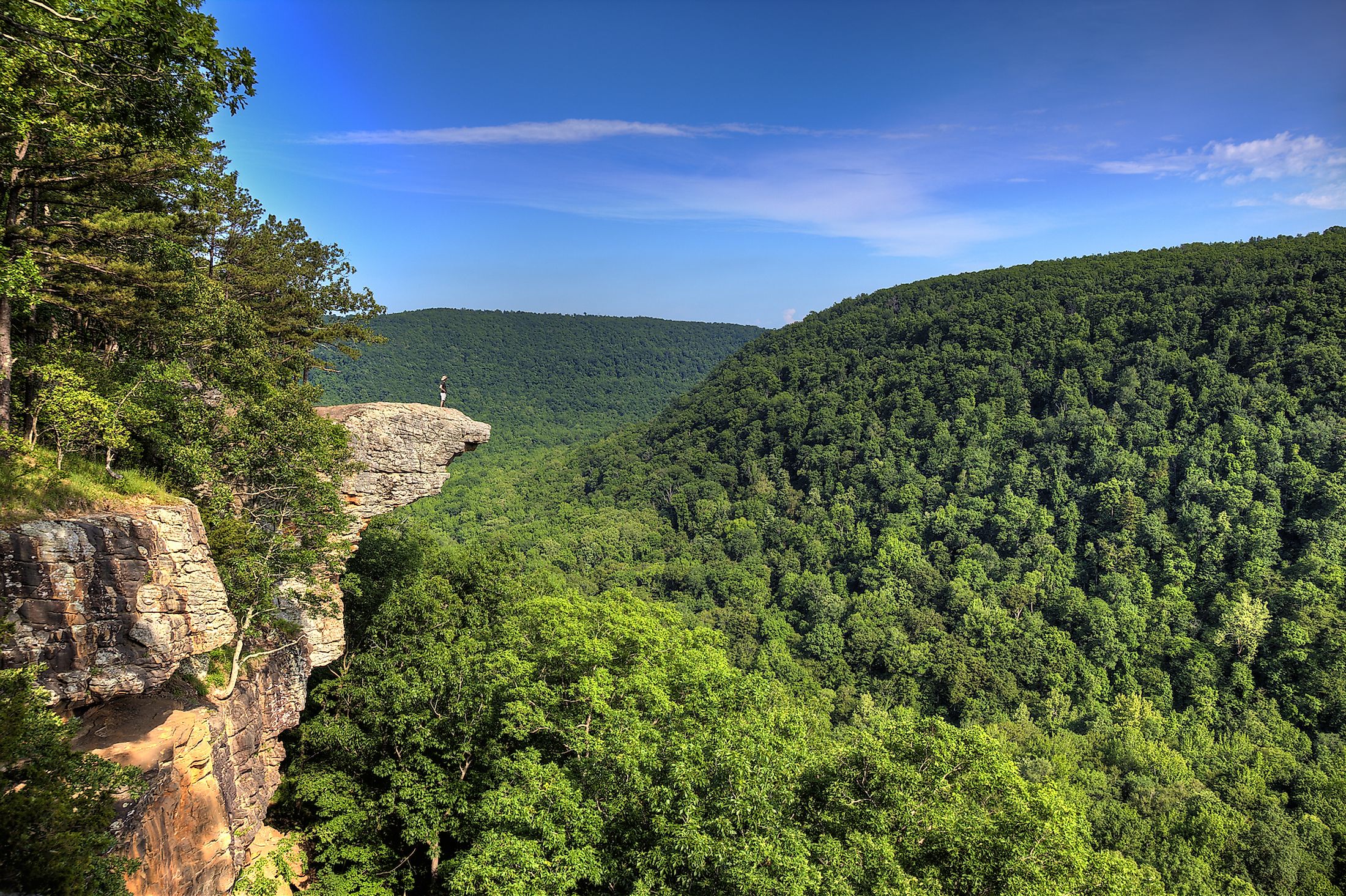
The Boston Plateau, also known as the Boston Mountains, contains the highest peaks in the Ozark, with many exceeding 600 meters above sea level. The plateau is called a mountain range because of its high peaks and ruggedness. Boston stretches from the north of Arkansas River Valley for approximately 320 kilometers and is almost parallel to Interstate 40. It is separated from Salem Plateau on the north by Springfield Plateau. Some Boston Summits rise over 780 meters above sea level, with Buffalo Lookout as the highest point, rising 781 meters. However, Turner Ward Knob in Arkansas is the highest peak at 751 meters above sea level. Boston Plateau is a source of several streams and rivers, including Little Red, Buffalo, White, Mulberry, King, and Big Piney Rivers. Much of the Boston Plateau is covered by forest, with a large area protected as Ozark National Forest.

Springfield Plateau
Springfield Plateau is on the north of the Boston Mountains and borders the Salem Plateau on the south and west. This plateau is characterized by lower elevation, with many areas rising only up to 550 meters above sea level. The high areas form in places where streams and rivers like the White River cut into the plateau surface. Since chert and limestone rocks are common throughout the Springfield Plateau, karst and caves easily form in the area as the rocks dissolve by water. The cherty slopes on the south are covered by hardwood and shortleaf pine forests.
Salem Plateau
Salem Plateau, also known as Central Plateau, covers most parts of Missouri’s southern half. Like Springfield Plateau, this area has low elevation, averaging about 460 meters above sea level. It is an extensive plain, with distinct hills and valleys formed by the rivers cutting through it, including Salem, White, and Strawberry Rivers. The plateau is underlined mainly by dolostone (dolomite). The region also contains caves and large springs, including Mammoth Spring in Fulton County.
Protected Areas

Initially, the Ozark National Forest, established in 1908 to conserve the forest, covered 3,715 square kilometers in Arkansas. 2,463 square kilometers of land was added to the protected area in 1909 and 2,200 square kilometers much later. In 1939, Mark Twain National Forest was created by Congress to protect nine critical areas in Missouri. Other wildlife management areas were established in the 1920s-30s to help restore valuable populations that were previously. The 1964 Wilderness Act prohibited humans from interfering with the wilderness area. However, the only threat to the streams and rivers originating from the Ozarks are commercial farms that release chemicals and other contaminants into the streams.
Economic Significance Of The Ozark Mountains
The Ozark Mountains have several mineral deposits, including barite, iron, zinc, and lead, with these ore deposits mined mostly in southeast Missouri. The area is also being explored for petroleum. The plateau region also supports largescale dairy and beef farming. Logging is also an important economic activity in the Ozark region, with hardwood and softwood harvested in the National Forest and private land. Tourism is a growing industry in the Ozarks due to the high number of entertainment and cultural centers, especially in Northwest Arkansas. Other economic activities in the area include poultry farming, food processing, and trucking.