Where Is the Four Corners Region of Canada?
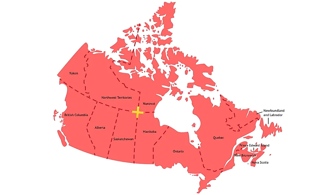
The Four Corners region of Canada refers to the point where the provinces of Saskatchewan and Manitoba, and the territories of Nunavut and the Northwest Territories converge. The exact intersection point is near 60°N 102°W and is marked by an aluminum obelisk. The quadripoint was established when the Nunavut Land Claims Agreement Act and the Nunavut Act created the territory of Nunavut from the Northwest Territories on April 1, 1999, though the borderline had been drawn as early as 1993. The creation of the territory was the first significant alteration to the map of Canada since the Province of Newfoundland was incorporated in 1949.
Geography of the Four Corners
The Four Corners area is located between Hasbala Lake shared by Saskatchewan and Manitoba and Kasba Lake shared between the Northwest Territories and Nunavut within a vast region covered by marginal taiga forest. It is in a remote region located hundreds of miles from railway and road infrastructure but can be accessed by air. The aluminum obelisk that demarcates the Four Corners point was erected in 1962 and initially marked the spot where Saskatchewan and Manitoba intersected with the Northwest Territories. When Nunavut was created in 1999, the legal boundary was described as commencing at the intersection of 102°00'W longitude and 60°00'N latitude, the point believed to be the intersecting point of Saskatchewan, Manitoba and the Northwest Territories. However, future surveys revealed that the intersection does not exactly lie on the coordinates resulting in a potential Nunavut–Northwest Territories boundary dispute.
Creation of Nunavut
On April 1, 1999, the territory of Nunavut was annexed from the Northwest Territories. The motive was to create a new territory and government for the Inuktitut people who considered the Northwest Territories their ancestral land. Nunavut marked the first significant change to the countries since Newfoundland was incorporated into the Confederation in 1949 (the province's name was changed to Newfoundland and Labrador on December 6, 2001). The plan to divide the Northwest Territories was floated in the 1950s when the non-aboriginals sought to establish a new territory for the indigenous community to preserve their culture and identity. In 1963, the government began the legislative process to divide the territory into Nunassiaq and Mackenzie territories, but the legislature rejected the bill. In the mid and late 1970s, the Inuit Tapirisat of Canada (ITC) reignited the debate by proposing the creation of Nunavut territory as part of the Inuit land claim settlement. In February 1992, the Parker line was proposed as the boundary for the new territory. In May 1993, Canadian Prime Minister Brian Mulroney, Tunngavik Federation of Nunavut President Paul Quassa, and Northwest Territories Government Leader Nellie Cournoyea signed the boundary agreement. Six years later, the government of Nunavut was established to govern the new territory with Iqaluit as the capital.


