Where Is The Camotes Sea Located?
The Camotes Sea is a relatively small water body which is situated within the archipelago of the Philippines. The sea separates two administrative regions of the Philippines, Central Visayan, and Eastern Visayan. The sea is surrounded by several islands such as Bohol on its southern edge, Cebu on its western side, and Leyte on its northern and eastern edges. The Camotes Sea is connected to other seas such as the Bohol Sea and the Visayan Sea. The Bohol Sea and the Camotes Sea are linked in two ways; through the Cebu Strait and the Canigao Channel. The Camotes Sea is famous because it has the Danajon Bank, one of the few double barrier reefs in the world and the only one of its kind in the Philippines.
Islands Within the Camotes Sea
There are several well-known islands within the Camotes Sea such as the Mactan Island, Olango Island Group, and Camotes Islands.
Camotes Islands
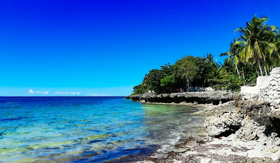
The Camotes Island is a cluster of islands within the sea that cover a combined area of approximately 91.26 square miles. In 2015, it was estimated that the islands were home to about 102,996 people and had a population density of 1,140 people per square mile. The islands are home to speakers of Camotes Visayan which is considered one of the most endangered languages in the region.
Olango Island Group
Another major group of islands within the Camotes Sea is the Olango Island Group which is composed of one major island, Olango Island, and six smaller islands. In 2010, it was estimated that the island was home to 30,996 people and had a population density of 7,800 people per square mile.
Mactan Island
Mactan Island is one of the most important islands within the Camotes Sea. The Philippines government estimated that in 2015, the island was home to 467,824 and had a population density of 17,133 people per square mile making it one of the most densely populated regions in the Philippines.
Weather Patterns in the Camotes Sea
The weather in the Camotes can change instantly due to the influence of several global weather patterns. One of the most influential weather patterns in the Camotes Sea is a cool northeast wind referred to as the Philippines' Amihan. The wind begins towards the end of the year in November and December and can last until May or June. Typically, the Amihan lowers the temperature of the sea during the months in which it blows. Another major factor that affects the weather within the Camotes Sea is a south-west monsoon wind commonly known as the Habagat. The Habagat begins at the end of the Amihan Season and usually blows until November or December. During the Habagat season, the weather around the sea is generally hot and humid and heavy rainfall is usually experienced. In most years, the change from one wind pattern to the other usually occurs abruptly. However, in some years, the winds may switch from one pattern to the other before finally settling down on one pattern.
Economic Significance of the Camotes Sea
The Camotes Sea plays a significant role mainly due to a large number of tourists that it attracts each year. The large number of tourists who visit the region led to the establishment of several resorts on islands such as the Camotes Island and Olango Island.


