Where Is The Bohol Sea Located?
The Bohol Sea is a major sea in the Philippines, which is also commonly referred to as the Mindanao Sea. The Bohol Sea is approximately 170 miles long from its easternmost edge to its westernmost tip. It is surrounded by several islands, including Bohol and Leyte on its northern side, Mindanao on its southern and eastern edges, and Negros on its western edge. The Bohol Sea is connected to other seas in the region, such as the Philippine Sea, the Camotes Sea, and the Sulu Sea. The Sulu Sea and the Bohol Sea are connected by a strait situated between the Zamboanga Peninsula and the Negros Island. The Camotes Sea is connected to the Bohol Sea through both the Cebu Strait and the Canigao Channel. Additionally, the Surigao Strait links the Philippines Sea and the Bohol Sea.
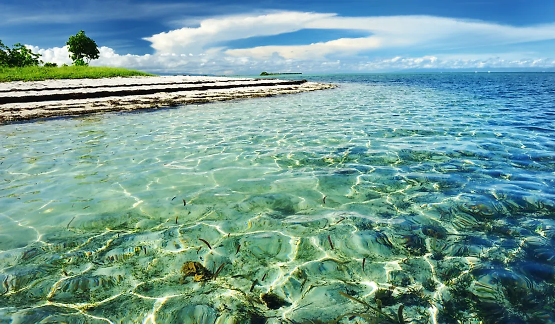
Ecology of the Bohol Sea
The Bohol Sea is home to a wide variety of fish, such as clownfish and lionfish, as well as several cetacean species, such as dolphins and blue whales. Coral reefs also exist in the Bohol Sea, and estimates suggest that coral reefs cover an area of 51 square miles. Mangrove forests are also common around the Bohol Sea, encompassing an estimated area of 10.85 square miles.
Marine Protected Areas
The Bohol Sea holds the record for having the highest number of marine protected areas within the Philippines. The three municipalities in Bohol Province signed an agreement in 2008 to integrate their marine sanctuaries within the sea to enable better management. The agreement emphasized the importance of cooperating in legislation, law enforcement, and the mobilization of resources to safeguard the marine protected areas.
Islands in the Bohol Sea
There are several islands located within the Bohol Sea. However, there are two major islands: Siquijor and Camiguin.
Siquijor
Siquijor is a 130.31 square mile island situated within the Bohol Sea, which had a population of approximately 95,984 in 2015. During the precolonial era, the island was ruled by the Kingdom of Katugasan. Archaeological evidence shows that the island traded with China. In the 16th century, Spanish explorers spotted the island and referred to it as the "Island of Fire" because of the observed glow coming from the island. It was later discovered that this glow was caused by swarms of fireflies. Like the rest of the Philippines, the island was a Spanish colony, and then later ceded to the United States. The island gained independence in 1945.
Camiguin
Camiguin is a 91.87 square mile island located within the Bohol Sea, which had a population of approximately 88,478 in 2015. The island was first inhabited by the Manobo people, and later became a trading post used by various traders and merchants. The first public school in the island was established in 1903 when the island came under the control of the United States.
Economic Significance of the Bohol Sea
The Bohol Sea is a major fishing area in the Philippines. In addition to the fishing industry, the Bohol Sea is also essential to the tourism industry because of its large number of scuba diving locations.


