Where is Bouvet Island?
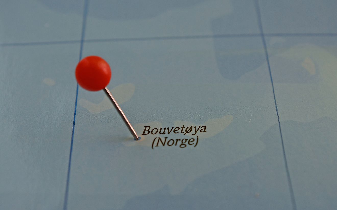
The Atlantic Ocean has numerous islands scattered far and wide within the ocean. Some of the islands are concentrated in one region and are popular tourist destinations while others are isolated and uninhabited. The Atlantic Ocean is divided into North Atlantic and South Atlantic by the Equatorial Counter Current. Some of the islands in the South Atlantic Ocean are near-polar islands and are collectively referred to as Subantarctic Islands. One of the subantarctic islands in the South Atlantic Ocean is Bouvet Island. This uninhabited island is thought to be one of the most remote islands in the world, with the nearest land, Queen Maud Land, located 1,090 miles away. Bouvet is a dependency of Norway.
Overview of Bouvet Island
Bouvet Island is a remote and almost inaccessible island south-southwest of Cape Town. This volcanic island covers an area of approximately 19 square miles of which 93% is covered by a glacier. It was discovered in 1739 by Jean-Baptiste Charles Bouvet de Lozier (a French Naval officer on an exploration mission), after whom the island was named. The island remained unclaimed until 1825 when the British hoisted its flag there. Over a century later (in 1928), the British surrendered the island to Norway which had previously occupied it. Bouvet Island and the surrounding waters were designated a nature reserve in 1971.
Geography of the Island
Bouvet Island is a volcanic island measuring approximately 5.9 by 4.3 miles and covering an area of about 19 square miles. It constitutes the top of a volcano situated on the south Mid-Atlantic Ridge. Some sources have argued that the island is in the Southern Ocean and not the South Atlantic Ocean because of its location in the Subantarctic, south of the Antarctic Polar Front. Bouvet Island is the world’s remotest island, with the nearest land being the Queen Maud Land and Gough Island to the south and north respectively. The closest uninhabited island is the Tristan da Cunha Island (1,400 miles to the northwest). On the north-west coast of the island is a 1.2 by 0.3-mile terrace known as the Nyrøysa. The terrace was created between 195 and 1977 by a rock slide and offers the easiest access point to the island. Bouvet Island is dome-shaped and almost entirely covered by a glacier. The coastline is about 18.4 miles long.
Nature
Because of the harsh climate and the fact that the island is almost entirely covered by a glacier, the non-animal life on the island has been restricted to fungi and non-vascular plants such as liverwort and mosses. Snow algae have also been recorded on the island. The snow-free areas such as coastal cliffs, nunatak ridges, and beaches have more vegetation. The island is an Important Bird Area because of its significance as a breeding ground for seabirds. There were over 115,000 breeding penguins on the island in 1978-1979.
Administration
Bouvet Island is one of Norway’s three dependencies (the other two are Queen Maud Land and Peter I Island). Unlike the other two dependencies, Bouvet is neither disputed nor subject to the Antarctic Treaty. Although it is a dependency, the island is not part of the Kingdom of Norway but operates under its sovereignty. Meaning that Bouvet can cede without violating any article of the Norwegian Constitution. However, Norwegian procedural law, private law, and criminal law apply to the island.