What Type Of Climate Does Belarus Have?
Belarus is a landlocked country in Eastern Europe. It borders Ukraine, Russia, Poland, Latvia, and Lithuania. The country's capital city is Minsk, which is also its most populous city. Belarus spans an area 80,200 square miles, and forests cover about 40% of the country's land area.
Belarus lies between 51 degrees and 57 degrees North latitude and 23 degrees and 33 degrees East longitudes and the distance from the North to South is approximately 350 miles while the distance from West to East is around 400 miles. Belarus is a relatively flat country with large tracts of marshy lands. The country is home to about 11,000 lakes and several streams and rivers flowing throughout the country, and the three major rivers include Dnieper, Pripyat, and Neman. Belarus experiences temperate continental climate with hot summers and long cold winters.
Climate in Belarus
The Baltic Sea affects the weather in Belarus. Winter in Belarus lasts for about 105 to 145 days, and snowfall in winter is abundant throughout the country particularly from December to early March. Summer in Belarus can last up 150 days. In January, temperatures average about 21 degrees Fahrenheit while in July temperatures average about 64 degrees Fahrenheit and humidity is typically high. In January temperatures in the South-west part of the country average, about 24 degrees Fahrenheit while in the Northeast region of the country temperatures average about 18 degrees Fahrenheit.
The average rainfall in Belarus stands between 19.27 and 27.6 inches every year although occasionally it can be more. Highest annual average rainfall ever registered in Navahrudak was about 30.2 inches in a year while the highest recorded average rainfall in Vasilievičy was 43.9 inches in a year, and the lowest average precipitation in Brahin was 12 inches. Approximately 70% of the rain falls between April and October, and it is experienced typically during summer. The heaviest ever recorded rainfall in the country was in Slaŭnaje in Talachyn Raion in July 1973, which was 5.8 inches in a single day.
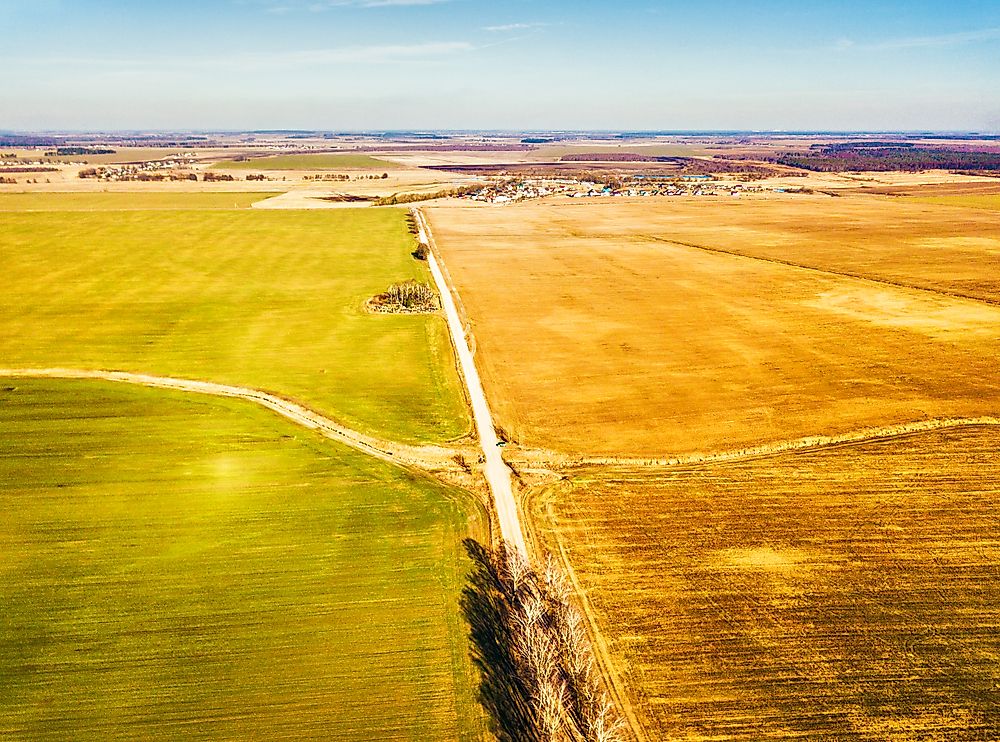
Topography
Belarus has a relatively flat terrain, which is interrupted by elevated territory having individual highlands running diagonally through the country from east-northeast to west-southwest. The point with the highest elevation is Mount Dzyarzhynskaya which stands at 1,135 feet above sea level. The northern part of the country is generally hilly with gentle sloping ridges which were created by the glacial debris. In the Southern part of the country, about 1/3 of the total land area is around the Pripiac River which is generally low-lying and occupied by the swampy plains which extend to the neighboring countries of Russia, Poland, and Ukraine.
Belarus has approximately 3,000 streams and 4,000 big lakes, besides other small lakes which are standard graphical features in the country. The same lakes and rivers are utilized for transportation especially for shipping and floating timber as well as generating of power. The major rivers flow westwards, while the rivers flowing southwards are the tributaries of the main rivers. The largest lake in the country is Narach which cover an area of about 30 square miles. Other big lakes in Belarus include Osveya Lake, Lake Lukomlskoye, Chervonoye Lake, and Lake Drysvyaty. The deepest lake in the country is Lake Doŭhaje, which is 176 feet deep, while the shallowest Lake is Chervonoye which has a depth of 13 feet below the surface. Most of the lakes in Belarus are found in the northern part of the country in the districts of Ušačy and Braslaw and the lakes cover approximately 10% of the entire area.
Climate Change in Belarus
Over the years Belarus has experienced increasing temperatures in the country, for instance, the warmest winter was between 1988 and 1989 and similarly between 1989 and 1990. From the long-term observation of data from 1881 to 2005, the most temperate winters were between 1989 and 1995. The warmest winters in the country were observed in the early 1970s and the second half of the 1950s and similarly in the first half of 1910s. Out of the seven highest temperature anomalies experienced in the country in the last hundred years six were experienced within the previous 20 years. An increase in temperatures was more pronounced during summer particularly in the last decade, and within the last 20 years, there was only one cold winter in 1996.
Precipitation was also observed to change in the period between 1990 and 2005 which was more complicated. In the northern part of the country, the rain has been increasing over time, unlike in the past where increased precipitation occurred in the central and the southern part of the country. From the 1970s there has been a general reduction in wind speed registered.


