What Type Of Climate Does Cameroon Have?
Cameroon is a country in Central Africa that encompasses an area of 475,442 km2 and has an estimated population of 23,439,189. The country is bordered by Nigeria (west and north), the Central African Republic (east), Chad (northeast), Equatorial Guinea (south), Gabon (south), and the Republic of Congo (south). Cameroon also has a coastline along the Bight of Biafra, the Atlantic Ocean, and the Gulf of Guinea. The country’s official languages are English and French, however, other languages spoken in Cameroon include German, Fula, Cameroonian Pidgin English, Ewondo, and Camfranglais. Cameroon experiences various types of climate, such as tropical, semi-arid, and rainy, which vary by region and terrain.
Climate Regions in Cameroon
The climate of Cameroon varies depending on the terrain. The country's major climatic zones include warm desert and warm semi-arid climate in the north, tropical savanna climate in the central part of the country, and monsoon and equatorial climate in the south as well as along the coast.
Climate in Northern Cameroon
The climate experienced in northern parts of Cameroon is hot and semi-arid. This region receives approximately 760 mm of rain annually, most of which occurs between mid-May and September. August is the rainiest month, receiving an average of 235 mm, and is also the coolest month of the year. Most months experience dry weather and hot days accompanied by the scorching sun. Cameroon’s hottest period lasts from March until May, when temperatures can reach as high as 40 °C, while the dry season lasts from October until April. During winter months, the Harmattan winds, which blow from the Sahara Desert, cause misty precipitate. As a result, the sky becomes foggy and affects visibility.
Climate in Central Cameroon
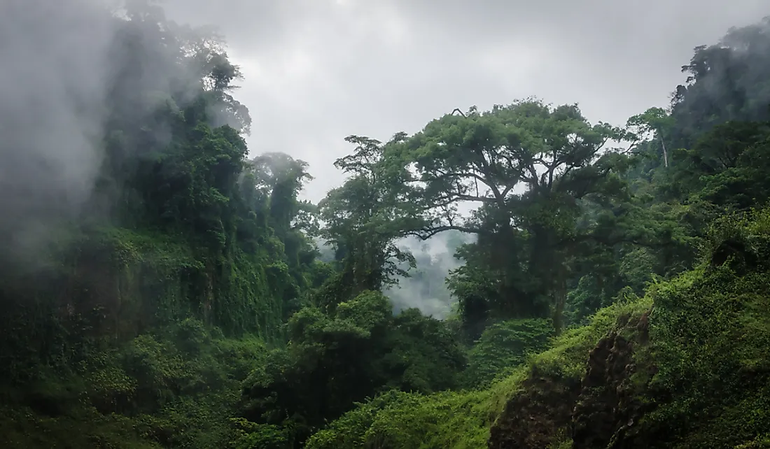
The central parts of Cameroon, which include Ngaoundere and the capital Yaoundé, experience a tropical savanna climate. A significant portion of the region is situated on a plateau that has an elevation that ranges between 500 and 1200 m above sea level. The climate on the plateau has been moderated by this altitude, making it more comfortable. Temperatures in central Cameroon are approximately 30 °C during dry months and 28 °C in rainy months. The rainy season is long, running from April until October, and sometimes begins as early as March. The central region of Cameroon receives an average of 1,500 mm of rain annually and has cloud cover that prevents intense heat. The rainy season in the central and southern parts of the plateau is longer, making the region favorable for forestry.
Coastal Climate
Monsoon and equatorial climates prevail in the coastal regions of Cameroon. As a result, the weather is warm and humid throughout the year, coupled with substantial rainfall. The coastline is the wettest region in Cameroon, receiving more than 2,000 mm of rain annually, while the western slopes of Mt. Cameroon, which is covered in forests, receives 10,000 mm of rainfall. Temperatures range from 23 °C to 33 °C and generally decrease during rainy seasons. Heavy rains occur between May and October. Some of the towns located in the coastal region of Cameroon include Kribi and Douala, the country's largest city, which receives the highest annual rainfall in Cameroon.


