Lake Superior
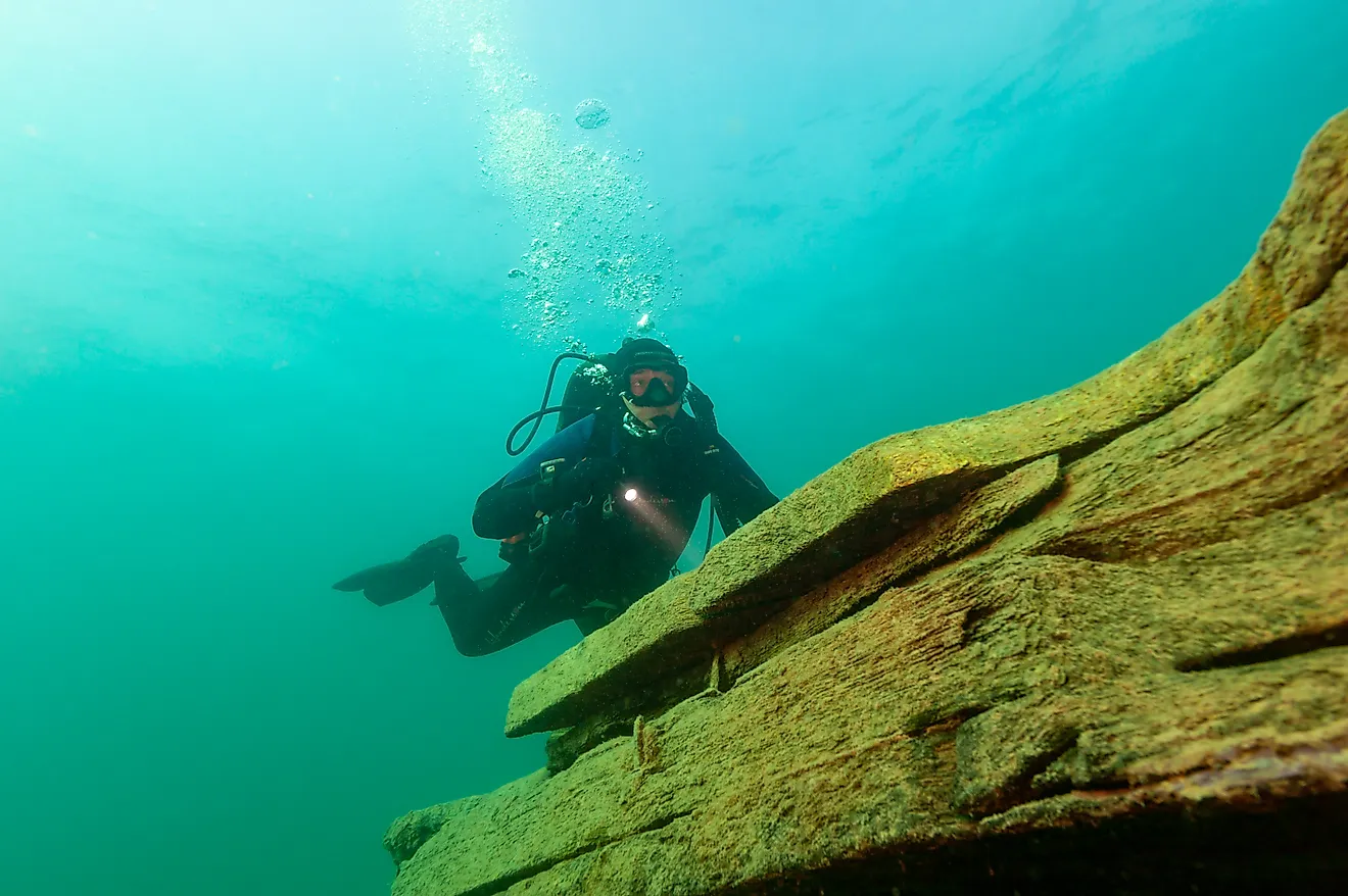
Lake Superior is the largest and northernmost of the Great Lakes. At 82,000 square kilometers, it is the world’s largest freshwater lake by surface area, accounting for about 10% of the Earth’s freshwater. However, it is the third-largest freshwater lake by volume after Lake Baikal and Tanganyika. Superior is located on the Canada-US border and shared by Michigan, Wisconsin, Minnesota, and Ontario. The lake is fed by about 200 rivers, with every drop of water into the lake retained for about 200 years before exiting through the St. Mary’s River into Lake Huron. There are about 350 shipwrecks in Lake Superior, with up to 10,000 dead bodies stuck in the icy water.
Origin Of The Name
The Native Ojibwa People referred to Lake Superior as “gitche gumee” or gitchi-gami,” meaning “Big Sea Water” or “Great Sea.” Some sources refer to the lake as “Ojibwe Gichigami,” meaning "Ojibwe’s Great Sea."
The French explorers who approached the lake in the 17th century via Lake Huron and the Ottawa River referred to it as “le lac supérieur,” meaning “the upper lake,” since it was located above Lake Huron. When the British took control of the lake region from the French in the 1760s, they gave the lake an English name “Superior” since it was the largest of any lake in North America.
Location

Lake Superior is one of the five Great Lakes located in North America’s mid-eastern region. It is the northernmost and westernmost of the five lakes situated on the Canada-US border. It occupies Wisconsin’s northern edge and extends into Michigan’s Upper Peninsula, Minnesota’s eastern edge, and Ontario, Canada. To the south of Lake Superior lies two Great Lakes; Lake Michigan and Lake Huron.
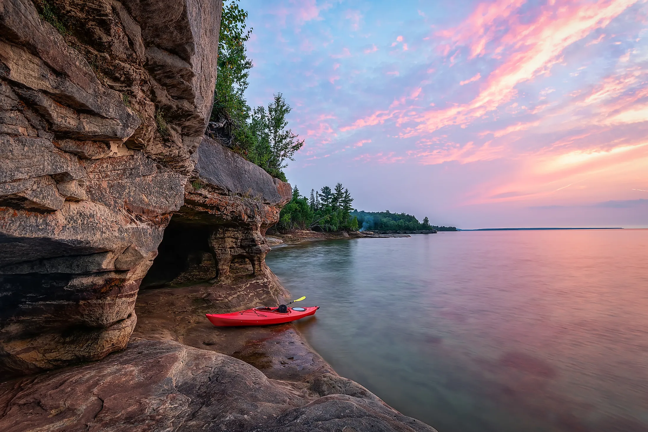
Geography

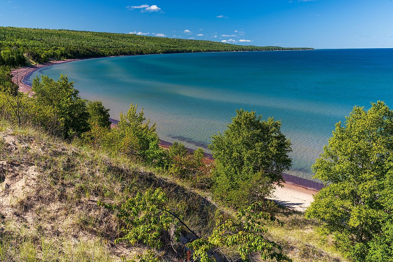
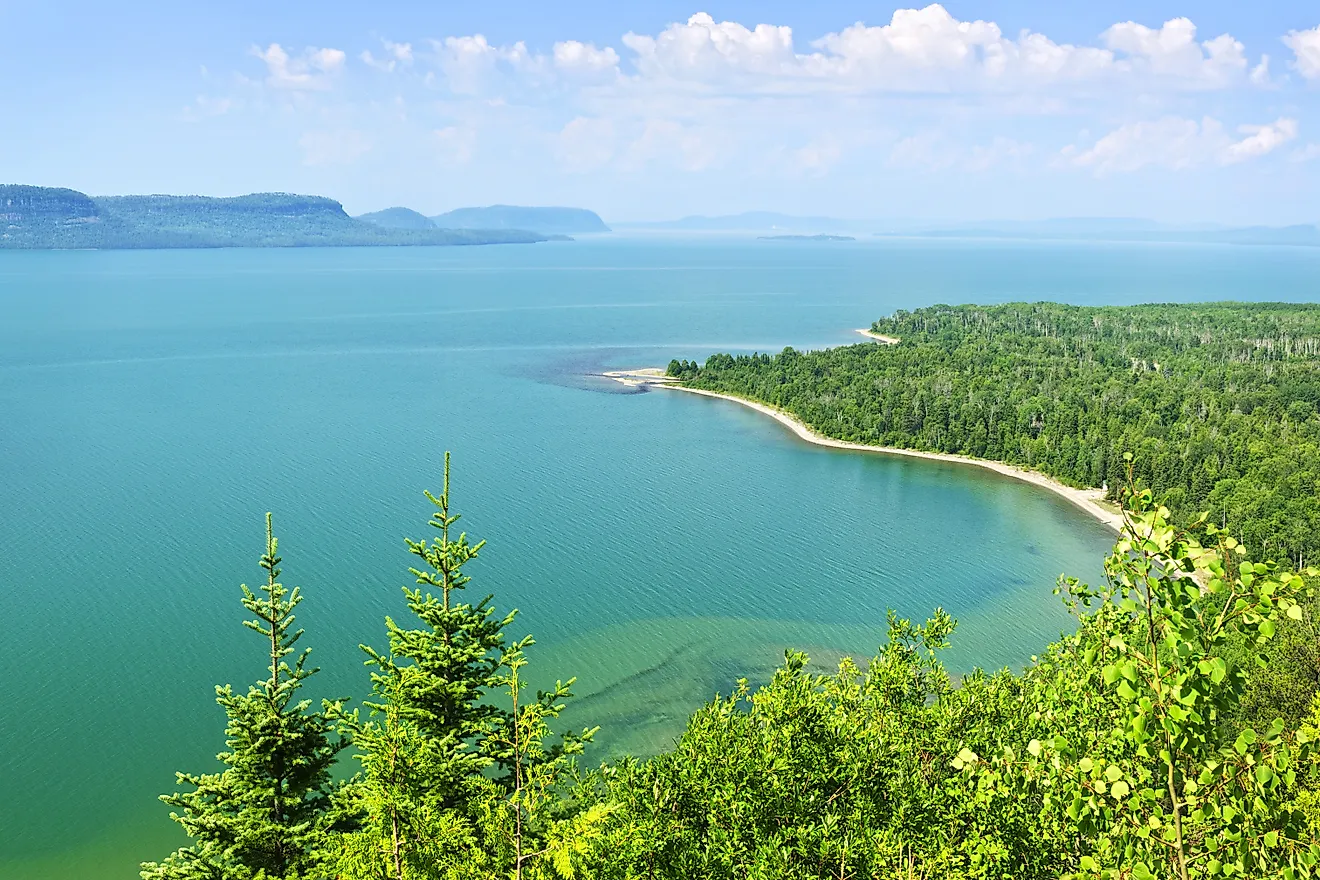
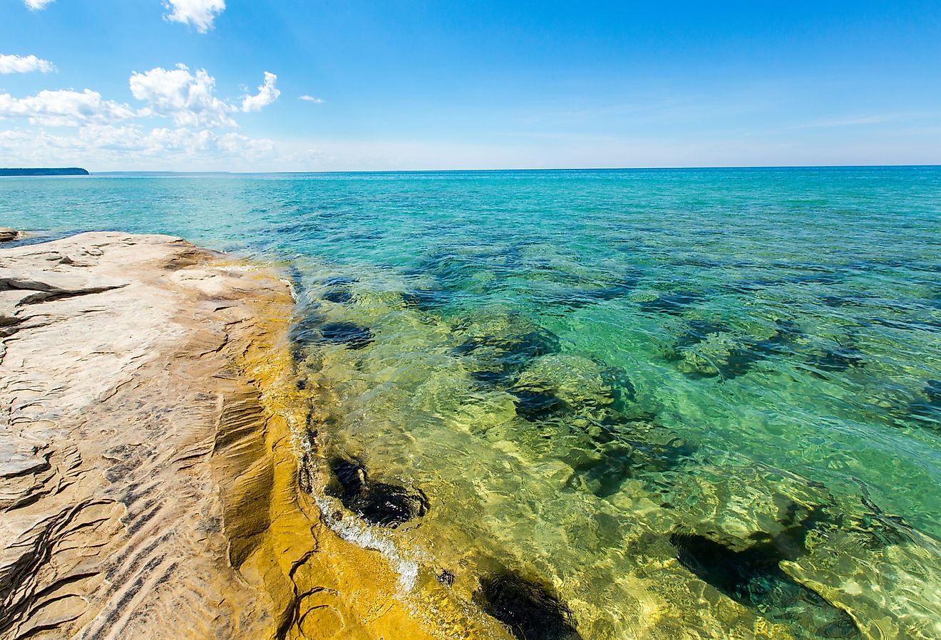
Lake Superior is the world’s largest freshwater lake by surface area, covering about 82,000 square kilometers. However, it is the world’s second-largest lake by surface area after the Caspian Sea. Only 20 European countries and 15 US states have larger surface areas than Lake Superior. At 11,600 cubic kilometers, Superior is the 4th largest lake by volume (third-largest freshwater lake by volume). The lake contains water that can cover the entire North and South America up to a depth of 12 inches. It has an average depth of 147 meters and a maximum depth of 406 meters, making it the world’s 36th deepest lake. Its maximum length is 560 kilometers and its maximum width is 260 kilometers. Its shoreline stretches 4,387 kilometers.
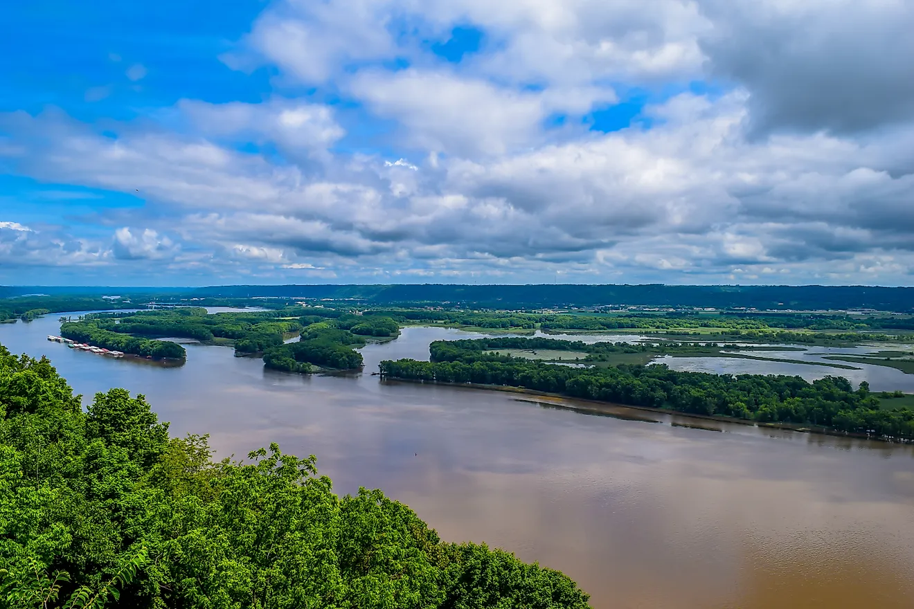
Over 200 rivers feed Lake Superior, of which the largest are St. Louise and Nipigon from the west and north respectively. Other rivers include White, Pic, Kaministiquia, Michipicoten, and Pigeon. The main rivers entering the lake on the south shores are the Tahquamenon and Sturgeon Rivers. Two water sources outside the lake’s watershed are the Ogoki and Long Lac, diverted to the lake to support hydropower generation at Sault Sainte Marie. The lake’s main outlet is St. Mary’s River. Lake Superior’s major islands are Isle Royale, Apostle Islands, and St. Ignace.
Climate And Water Temperature
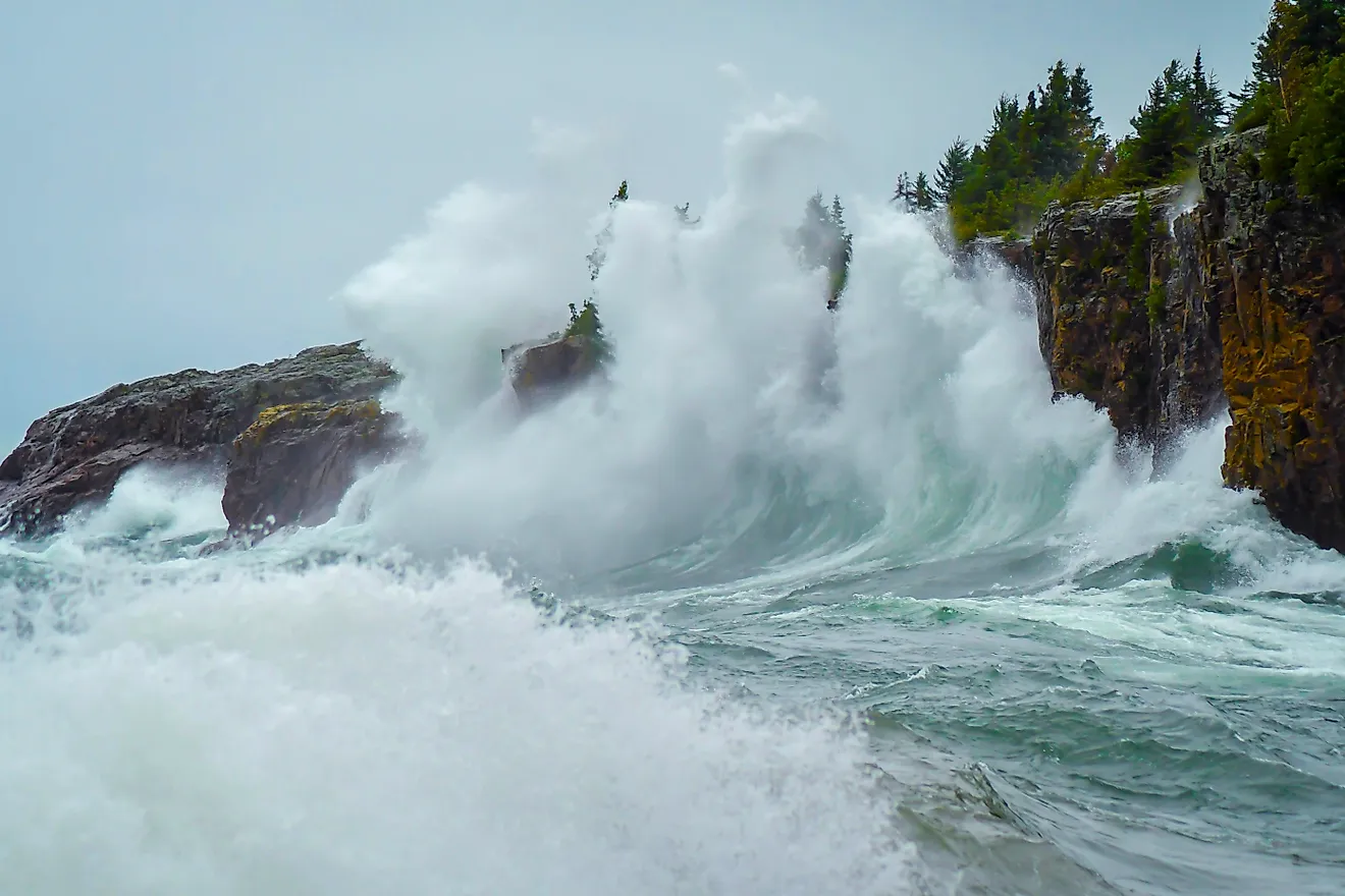
Lake Superior region experiences a humid continental climate, typical of Nova Scotia, with seasonal temperatures ranging from 32 to 55 degrees Fahrenheit. The lake is prone to storms, especially between October and November. During the winter months, ice often covers 40-95% of the lake’s surface. Although Superior does not freeze completely, its freezing is often monitored since it is essential for hydropower generation. The lake’s average water temperature is 40 degrees Fahrenheit, lower than the other four Great Lakes. During the summer months, the water temperature averages 55 degrees Fahrenheit.
Formation And History

Lake Superior’s formation began about 1.2 billion years ago and resulted from the North America Mid-Continent Rift. The rift formed along an arc-shaped carve that extended from the lake region to Kansas and Michigan. As the crust broke, magma containing granite rose to the surface. These granites can be seen on Lake Superior’s North Shore.
The Piano people, the first people to inhabit the lake region, arrived there about 10,000 years ago after the glacial retreat. They mainly hunted caribou using traditional spears made from stones. By around 5000 BC, the Shield Archaic people had arrived in the region and were trading in numerous goods, including metal. The Laurel people established fishing around Michipicoten and Pic Rivers. By the 17th century, the Ojibwe population was in thousands with their villages spread across the Lake Superior region. The Anishinaabe people (including Ojibwe) immediately became middlemen when the European arrived in the lake region, facilitating trade between the locals and the Europeans, mainly French. In the 18th century, the Hudson’s Bay Company took monopoly of the region and controlled the fur trade.
Ecology

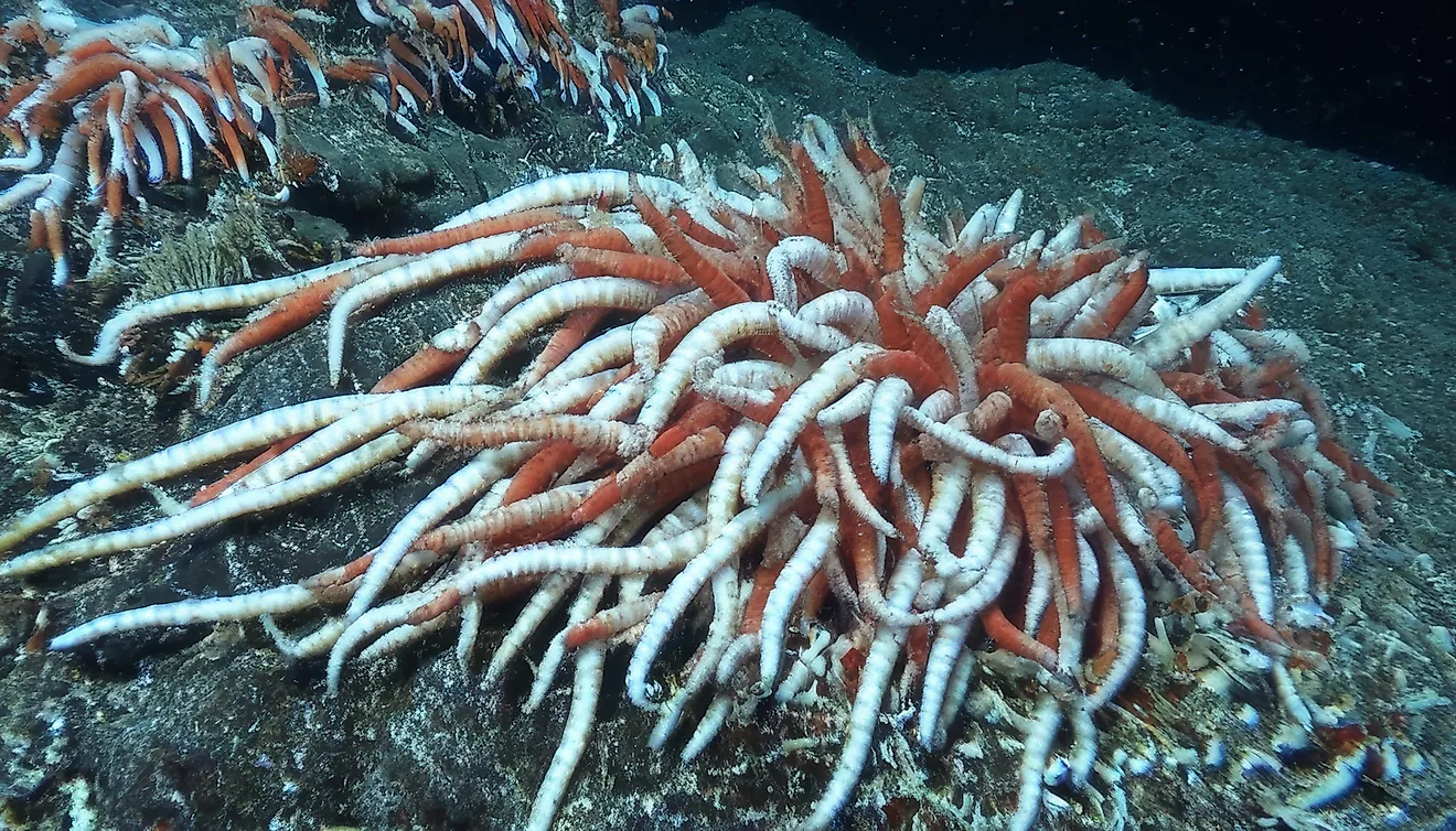
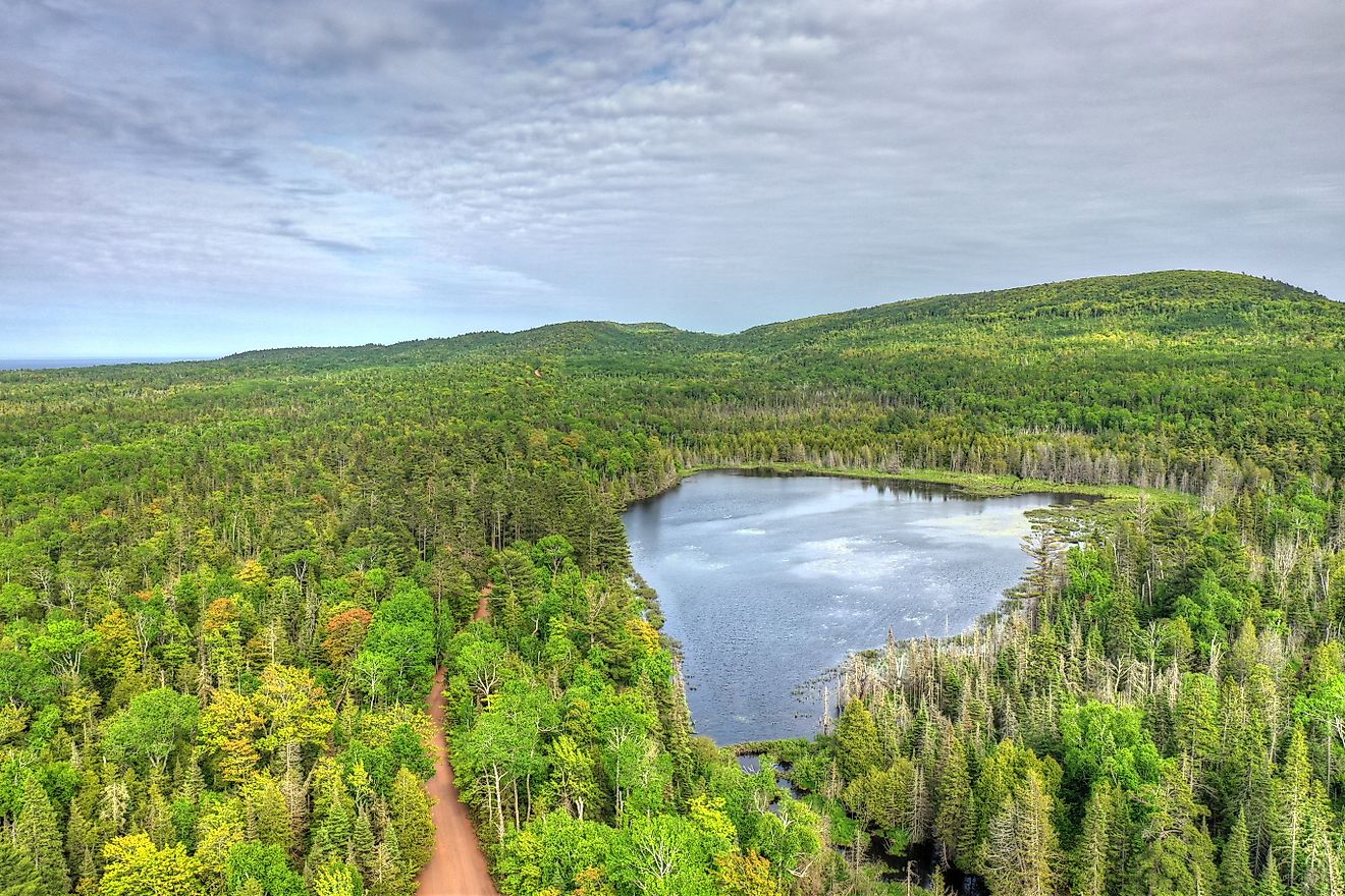
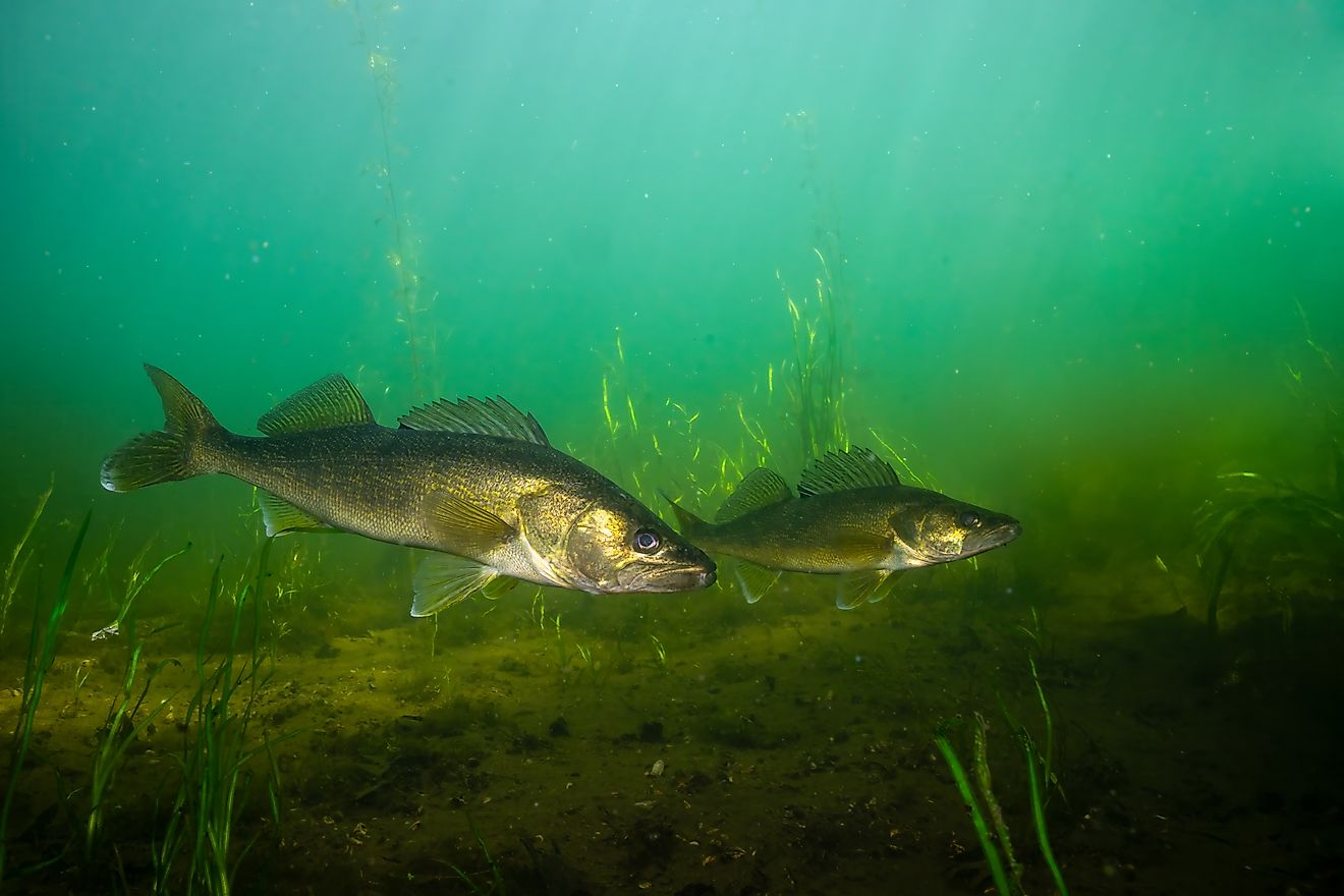
Lake Superior hosts over 80 fish species, including the native species such as bloater, banded killifish, brook trout, cisco, burbot, lake trout, lake sturgeon, and longnose sucker. The introduced species include Atlantic salmon, carp, brown trout, coho salmon, chinook salmon, pink salmon, and the freshwater drum, among other species. Birds such as hawks, owls, loons, and woodpeckers also live around the lake region. The Duluth’s Hawk Ridge hosts over 10,000 migratory birds daily during fall. The lake is also home to numerous plant species, including 60 orchid species, flowering rush, and white pine.