What Is The Study Of Maps Called?
Cartography is the art of studying and making maps and graphical representation of geographic spaces scale. Maps are a graphical representation of geography and are used in understanding the topography, culture, and weather depending on the map. Early cartography was practiced on cave walls and clay tablets, but as technology progressed, maps were presented on paper. Modern technologies such as GIS and GPS allow maps with a plethora of information to be displayed in digital screens. Maps play a crucial part in human lives; intricate and detailed maps are used in the navigation of planes and ships while simple maps are used to find direction and locate specific features.
Early Cartography
Early maps trace their origin to 16,500 BCE and depict the image of the night sky. In addition, medieval rock paintings and carvings (petroglyphs) depict physical features such as mountain and rivers, and researchers believe the arts were used for navigation. The Babylonian World Map was drawn in 600 BCE and is considered the earliest map of the world. The Greeks were the first people to practice cartography on paper for navigational purpose. Early Greek maps show Greece as a landmass surrounded by oceans while other maps depicted the continents of Europe and Asia. The Ancient Greeks discovered that the earth was spherical and therefore created maps using the coordinate systems of longitudes and latitudes, a technique that is still in use. Cartography was also practiced by ancient Chinese as early as the 4th century BCE. The Chinese silk maps depicting various territories and landscapes such as rivers, mountains, and roads are the oldest known economic maps.
European Cartography
Cartography remained dormant in Europe until explorers and merchants began creating maps of the new worlds they visited. Nicholas Germanus developed the Donis map projection with parallel equidistant longitudes converging at the poles. In the early 16th century, explorer Juan de la Cosa accompanied explorer Christopher Columbus and produced the first map of the Americas. Portuguese cartographer Diogo Ribeiro produced the first scientific map of the world showing the accurate coastline of South and Central America. Throughout the 16th, 17th, and 18th centuries, European explorers created maps of several parts of the planet and in the process, developed more accurate mapping methods
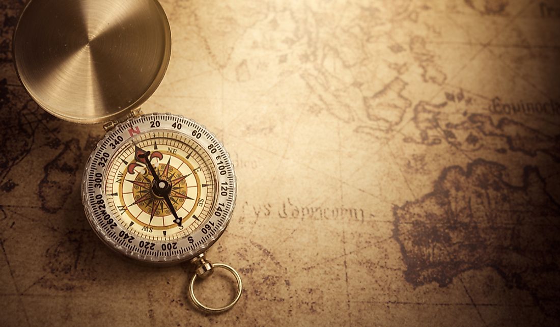
Modern Cartography
Modern maps are as a result of various technological advancement. The invention of mapping tools such as the compass, the sextant, telescope, and the printing press allowed accurate maps to be produced easily. In the early 20th century, planes were used to conduct aerial surveys and by the end of the century satellite imagery provided accurate data showing vast areas in detail. The 21st century ushered in technology, such as GIS that allows the manipulation of data to create different maps. Presentation of maps has also changed from the ancient clay and paper to digital screens that are mobile and easier to interpret.


