What is Remote Sensing in Geography?
Remote sensing is the process of acquiring details about an object without physical on-site observation using satellite or aircraft. Remote sensors are mounted on the aircraft or satellites to gather data via detecting energy reflected from the Earth. Remote sensing has been beneficial to scientists who are in constant need of data as it pertains to land, ocean, and the atmosphere.
History Of The Remote Sensing Technoloy
The remote sensing discipline has undergone several advancements in recent years as the field of photography and the innovation of aircraft facilitated the development of the discipline. It wasn’t until 1960 that the term remote sensing was adopted. Before that, the term aerial photography was the common term used. Aerial photography at the time portrayed black and white images and new technologies and methods were emerging which promoted more detailed graphic images. Computer technology further enabled a digital form of imagery. During the 1960s and 1970s satellites became favored over aircraft by countries such as the US and Russia, since they could carry out monitoring on a regular basis. The system has enabled scientists to gather data from places which would not be possible to see or visit.
Overview Of Remote Sensing
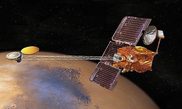
Remote sensing can either be carried out by passive or active remote sensors. Passive sensors gather radiation from external stimuli. They respond to the energy reflected from Earth’s surface. The primary source of energy relied upon by passive sensors is reflected sunlight. Radiometers, infrared, and film photography are examples of passive remote sensors. Active sensors, on the other hand, depend on internal stimuli for data collection. They reflect energy to the particular area, and after detection, they measure the energy reflected from the region. Examples of such sensors include the Lidar, which projects laser light to measure the distance to a target. One of the most notable satellites which have enabled remote sensing is Landsat, a project conceived in the US. Since its launch, millions of images have been acquired with far-reaching benefits to governments, scientific organizations, and businesses.
Applications Of Remote Sensing In Geography
Remote sensing helps people acquire information about the Earth. It is thus essential to hazard assessment as well as the monitoring of land degradation and conservation. The system tracks wild weather, from floods, earthquakes, to hurricanes and data collected can be interpreted to analyze the destruction caused by natural disasters. Such data can be used to formulate strategies to be implemented before and after disasters. Since the system can access areas inaccessible to humans, it can monitor the impact of deforestation on significant regions (including the Amazon Basin) and can also map out areas that need protection. The system is particularly essential in environmental monitoring and natural resource management, and it surveys the human impact on the environment. Remote sensing is also useful in oceanography as it tracks ocean circulation, temperature, and wave heights to understand ocean resources better. The system is used in geology and mineral exploration, forestry, and agriculture.
Limitations Of Remote Sensing
The resolution of images produced by satellites can be too coarse to identify small contrasting areas and undertake detailed mapping. The process of analyzing data collected is complicated and cost-intensive, and measurement uncertainty is often large. The costs of running a remote sensing system can be expensive especially for small and developing countries with inadequate finances, technology gaps, and lack of trained personnel.