The Founding Fathers of Ancient Geography
The earliest world maps date back to the 9th century BC in ancient Babylon. However, these maps were basic regional maps and were laden with errors and exaggerations. Ancient Greece saw the birth of the study of geography and with it the first true world maps. Some historians point Anaximander, a 4th century BC Greek scholar as the true founder of the study of geography. However, four individuals are considered the founding fathers of ancient geography due to their contributions to the discipline; Eratosthenes, Strabo, Claudius Ptolemy, and Muhammad al-Idrisi.
4. Eratosthenes
Eratosthenes was a 2nd century BC Greek scholar who is credited as the founder of the discipline of geography. Eratosthenes is believed to have been born in 276 BC in Cyrene and was the chief librarian at the Library of Alexandria. The works of this geographer became the foundations of the study of geography. The geographer used his knowledge of the earth, which he obtained from the mapping studies done by professionals before him, to come up with a map of the world in his publication “Geographika.” The book introduced the term “geography” to the world. The geographer died in 194 BC but left behind a collection of books, many of which were lost during the Destruction of the Alexandria Library. A man of many firsts, Eratosthenes is also credited with the first world map in history, which was of impressive accuracy, as well as determining the tilt of the Earth’s axis. Some historians believe that Eratosthenes was responsible for the leap day, and accurately determined the distance between the Sun and the Earth. One particularly impressive feat by Eratosthenes was that he was able to determine the circumference of the earth with remarkable accuracy without even traveling from Egypt. The geographer used the length of the shadows at noon and the sun’s rays to come up with a formula that enabled him to calculate the earth’s circumference which according to him was 27,402 miles. This measurement was used for hundreds of years and was even studied by Christopher Columbus 17 centuries after the death of Eratosthenes.
3. Strabo
Another founding father of the discipline of geography was Strabo, a 1st Century CE Greek scholar who lived in the Amaseia in modern-day Turkey. Strabo’s best-known work was his “Geographical” publication in which he drew a relatively accurate map of the world as it was known to him. The book was among the first to outline the study of geography in history. Continental Europe and the Mediterranean were well defined in Strabo’s map. The accuracy of the “Geographica” book was unchallenged for hundreds of years and was widely reproduced in the Byzantine Empire. Unlike Eratosthenes, Strabo was well-traveled and had visited Kush and Egypt, and had journeyed as far as Ethiopia and Asia Minor. The works of Strabo were influenced by earlier Greek scholars such as Hipparchus and Eratosthenes, with Strabo citing the two in his publications.
2. Ptolemy
Ptolemy was a 1st century CE astronomer and geographer from the Roman Empire. The geographer is believed to have been born in 100 AD in Egypt. Ptolemy’s name suggests that he was born as a Roman citizen but of either Hellenized Egyptian or Greek ancestry. Ancient Arabic sources referred to Ptolemy as “Batlamyus” from Upper Egypt. Many of Ptolemy’s works inspired younger geographers and were used for many centuries after his death. Ptolemy’s map of the world was quite accurate considering the technology of the time and showed countries as far out as China (Sinae) and Sri Lanka (Taprobane). As one of the founding fathers of ancient geography, Ptolemy is credited with the book “Geographia.” In the book, the geographer exercised the concept of segmenting the globe using a grid of longitudes and latitudes. Ptolemy’s model was the forerunner of modern map-making as it also measured latitudes from the “climata,” the word he gave for the equator. One of the Ptolemy’s most famous books was the Almagest, which focused on astronomy. The publication has one of the most exhaustive star catalogs of the pre-modern era. The star catalog in the Almagest was based on a similar catalog by an earlier astronomer, Hipparchus. The catalog was made up of 48-star constellations that were visible to the pre-modern astronomer. The list of star constellations made the Almagest a book of great import to astronomers in Europe and Arabia in the medieval era.
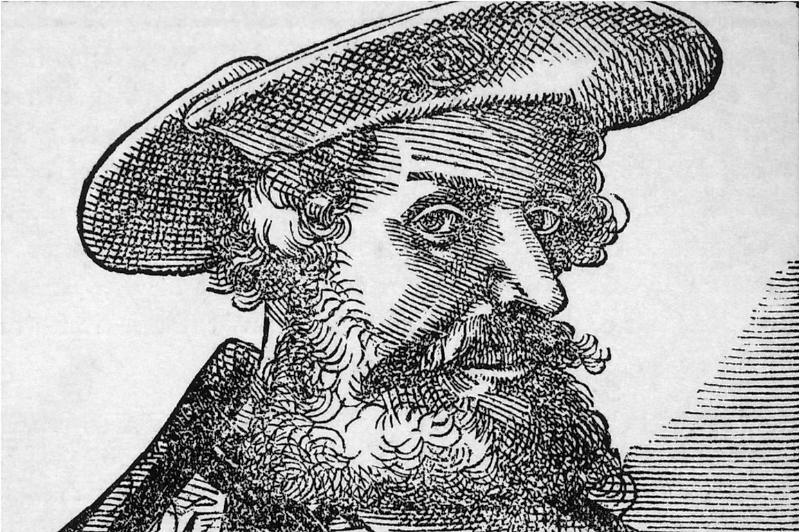
1. Al Idrisi
Al-Idrisi was a 12th-century Arabic geographer, who was best known for one of the most accurate geographical maps of the ancient world. The geographer was born in 1100 AD in Ceuta, a town which was then under Almoravids, to a family that claimed to be direct descendants of Prophet Muhammad. The geographer’s ancestors forcefully settled in Ceuta after the Zirids of Granada defeated Hammudid Malaga. In his youth, Al-Idrisi spent most of his time traveling and was able to explore many regions in Europe including Pyrenees and Jorvik, and North Africa. The geographer also traveled to Cordoba where he received his education. Al-Idrisi would later move to Palermo, Sicily under King Roger II. The geographer died in 1165 in his ancestral town of Ceuta at the age of 64 or 65 years. Al-Idrisi was among the founders of geography, with one of the earliest accurate maps being attributed to him. The map is known as the “Tabula Rogeriana,” was based on navigation information from Islamic merchants and earlier Islamic maps. The map was drawn in 1154 and is the first to show the whole of Eurasia and part of North Africa. The accuracy exhibited in the Tabula Rogeriana was remarkable considering the ancient technology employed by Al-Idrisi. Besides, the geographer also published a book entitled, “Kitab nuzhat al-Mushtaq fi’khtiraq al-‘afaq,” in which he outlined geographic information about the world. Al-Idrisi credited Claudius Ptolemy for the geographical coordinates used in his publication. The map was used for hundreds of years after his death, with prominent explorers of later years such as Vasco da Gama and Christopher Columbus using the map for navigation.