What Is Hydrography?
There is plenty of information about most navigable water bodies in the world, from rivers, lakes, seas, and oceans among others. These accurate pieces of information are not from random observation but the work of hydrographers. Made up of two words, the term hydrography comes from the Ancient Greek words “hydor” and “grapho” that mean “water” and “to write” respectively. Officially, hydrography is a branch of applied science that measures and describes the physical features of water bodies like rivers, lakes, seas, oceans, and coastal areas. Hydrology goes further to define these water bodies from the characteristics of their surface to bottoms. Through their studies, hydrographic surveyors can predict the behavior and change in these water bodies during different seasons and over a period.
What Do Hydrographers Do?
Hydrographical survey works by determining the horizontal coordinates of points on water surfaces and measuring the water depth at the points. This process is known as position fixing. Hydrographers then produce the results on scaled charts. Other methods include lead lines, wire-drag surveying, sounding poles, and single-beam echo sounders. Countries like the US have advanced technology for hydrography. Such techniques include the use of autonomous underwater vehicles (AUVs) and unmanned underwater vehicles (UUVs) to produce computer-aided design (CAD) charts.
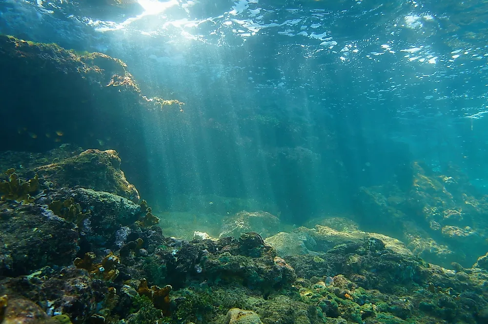
The primary and most efficient method that hydrographers prefer to study water bodies is using multibeam echo sounders. These instruments produce hydrographic data that contain information about water depth, the shape of the ocean floor, the shape of the coastline, underwater physical features, and potential obstructions. Other information collected include water levels, tides, currents, salinity, temperature, shoals, reefs, rocks, and wrecks among others. Hydrographers fit the multibeam echo sounders on survey ships and they examine underwater floor as the ship passes on the surface and records the data. Out of the data collected, hydrographers produce nautical charts and hydrographic models. Nautical charts guide marine navigators whereas hydrographic models are useful in many areas. These charts use color ranges to show water depth. Sometimes, nautical charts are biased to only show the shallowest depth for safe navigation, therefore, in such cases, the actual depth of the deepest points may not be shown.
Hydrography includes surveying natural and man-made features on the shores and in the ocean like hills, mountains, towers, and lights among others so that vessels can move and position safely. Interior hydrography, commonly called hydrology, focuses on rivers, lakes, and potable water sources. Data from internal hydrography is useful for scientific studies and water resource management. On streams, hydrography focuses on the quality of the water, the flow, and the adjacent land. The practice of hydrography on rivers, stream, and shallow lakes normally involve the use of light survey equipment like handheld or back mounted devices.
History of Hydrography
Traditionally, boats and ships navigated oceans by keeping the coastline in sight. The invention of the magnetic compass in 1187 necessitated navigators to develop charts that helped them to sail across open waters. Originally, individual mariners made handwritten navigation charts when on navigation. The charts relied on magnetic directions on map projections. These charts helped them during their subsequent navigation of the same waters. Normally, they kept the charts secret to gain military or commercial advantage. When transoceanic movement and trade increased, several bodies commissioned hydrographic surveys to keep their vessels safe in the oceans. With time, governments and regional partnerships also joined in the surveys and commissioned more hydrographic work for their trade and naval advantage. Hydrographic surveys became important to the extent that governments established bodies to do the studies rather than leaving them in the hands of individual navigators.
The first official use of the terms hydrography and hydrographer emerged in the mid-sixteenth century. In 1795, the British navy appointed Alexander Dalrymple as their first hydrographer and tasked him to gather and distribute data to other ship captains. The following year, Britain published its first hydrography catalog followed by a chart of Quiberon Bay in Brittany produced in 1800. They further refined these charts to professional standards and made them public. In 1829, hydrographer and Rear-Admiral Sir Francis Beaufort developed the eponymous Beaufort wind force scale that showed wind speeds and later introduced tide tables. Beaufort’s work was critical in developing the first "Notices to Mariners" in 1834. In 1854, the US established its first naval observatory and hydrographical office. The following year Britain introduced the Chart Catalog that had 1,981 charts of most waterways in the world. Britain produced and sold thousands of these charts annually.
Importance of Hydrography
Hydrography provides critical and efficient data to water vessels for safe navigation in water bodies. In addition, this data is also important in guiding water resource exploitation such as fishing and underwater mining. Hydrography also helps the international community to delimit maritime boundaries and therefore avoid possible boundary conflicts. This delimitation, in turn, aides in coastal zone management, maritime defense, and security by naval defense units. Over time, hydrographers have also continued to supply important data on tsunami flooding and sea storms. Environmentalists and marine researchers also depend on hydrography to get accurate information that helps in marine science and water environment protection and management. Hydrographic models aide government and the international community to have marine geospatial data for reference and planning. Practically, hydrography continues to provide data used in underwater dredging, anchoring, laying pipelines, cabling, and finding wreckages like the Titanic. It is important to note that hydrographic data also helps in the study of marine living organisms and their behaviors. Hydrography contributes in enabling safe recreational boating, navigation, and marine tourism which are essential pillars of many national economies. The holistic importance of hydrography is hard to quantify because of the wide nature of economic benefits of water bodies to governments, in fact, all economic investments that water bodies provide rely on hydrography for background understanding, management, and future utilization.
Hydrography Organizations
The UN started supporting the work of the International Hydrographic Organization (IHO) in 1970 and mandated it to guide national and private hydrographic organizations in conducting surveys. Headquartered in Monaco, IHO currently has 89-member states. IHO ensures all the navigable waters have correct surveys and chatters. This body also sets specifications and standards of hydrography and nautical charts. Some IHO members include Australian Hydrographic Service, Argentine Naval Hydrographic Service, Canadian Hydrographic Service, Chinese Maritime Safety Administration (MSA), Cuban National Office of Hydrography and Geodesy, Egyptian Navy Hydrographic Department (ENHD), Hydrographic and Oceanographic Service of the French Navy, Japanese Hydrographic and Oceanographic Department, Dutch Hydrographic Service, Norwegian Hydrographic Office, Russian Department of Navigation and Oceanography, United Kingdom Hydrographic Office, and the US’ National Oceanic and Atmospheric Administration (NOAA) which houses the Office of Coast Survey / National Ocean Service (OCS/NOS) among others. Most nations with coastlines have their own hydrographic bodies.