Which Countries Border Chile?
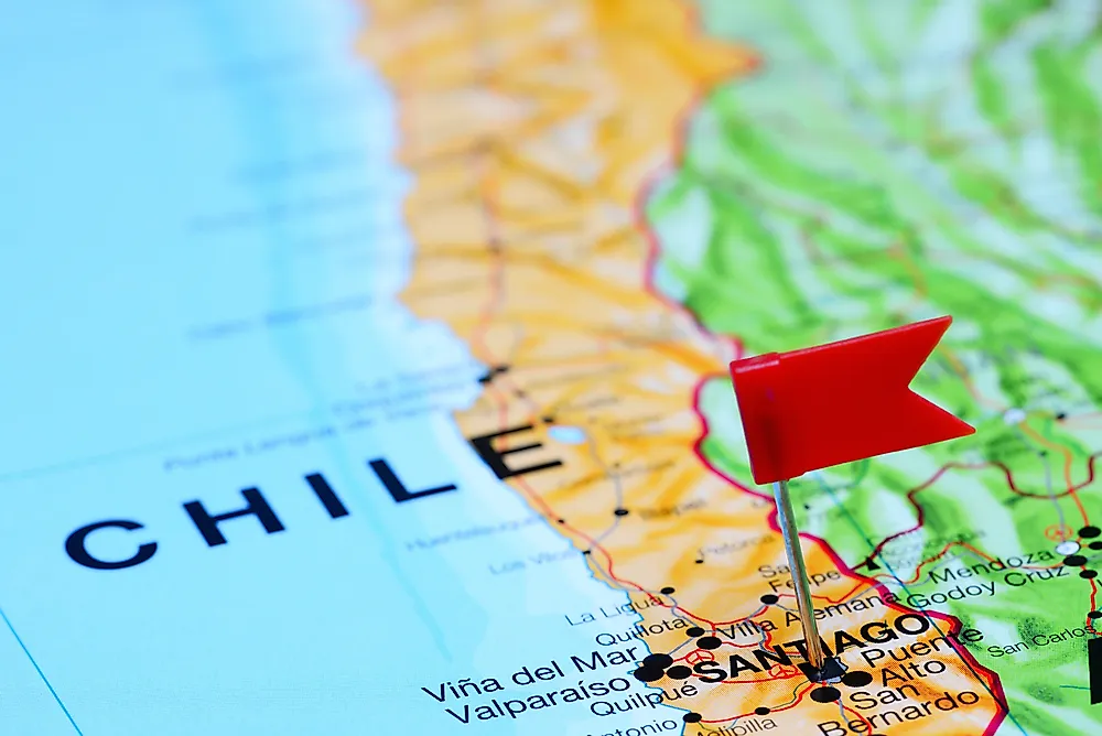
Chile is located in South America, between the Pacific Ocean and the Andes. It is unique as it is a long narrow strip of land. It has a land area of 480,000 square miles, and it borders three countries, which are Argentina, Bolivia, and Peru, together with the Drake Passage. The Drake Passage is a water body located between Cape Horn and the South Sheth Islands. Juan Fernandez Island, Easter Island, Desventuradas Island, and Salas y Gomez Island, located in Oceania, are considered part of Chile’s territory. Chile has a high-income economy. Chile’s total land border is about 4,847 miles long, and the coastline is 3,999 miles long. About 80% of the land area is mountainous, and the country experiences different types of climates. Chile comprises four regions, the far North, Central Chile, near North, the South, and the far south. The country’s three biggest cities are located in Central Chile. Central Chile is primarily made up of a range of mountains.
Peru
Peru is located in the Western region of South America, and it borders Chile to the North. The country has an area of 496, 225 square miles and the population was estimated at 32 million in 2018. The country ranks fourth in population size among South American countries. The name Peru is said to be derived from the name of a 16th-century local leader, Biru. The official language in the country is Quechua and Spanish. About 85% of the population identify as Catholics and Christianity is a dominant religion.
Bolivia
Bolivia is situated in the Western part of Southern America, and it is landlocked. Bolivia is one of the two landlocked countries in Southern America. The country’s capital is Sucre. The landscape of the country varies with the Andes ranges and the Amazon basin being located around the region. The country has a land surface area of 424,164 square miles and most of it 67% is urban.
Argentina
Argentina is the southernmost country in South America and Chile’s border with Argentina is ranked third in length globally; the border is approximately 3,200 miles long. The name Argentina is said to be coined from Italian, and it translates to silver-colored or made of silver in English. Argentina borders Chile to the East, and it is bordered by the Andes Mountains and the Pacific Ocean.
Territorial Disputes
In the 19th century, Chile, Peru, and Bolivia had a border dispute which is known as the Atacama border dispute. The dispute is named after the Atacama Desert, where the disputed territory is located. The dispute resulted in Chile acquiring the whole of the Bolivian coast, now known as the Antofagasta Region, and the Tarapaca region from Peru. The Spanish Empire had established the Atacama Desert as Chile’s northern border, but the borders had not been defined. After Chilean and Bolivian independence, the borders were still not defined when nitrate and copper deposits were found in a region around the Atacama Desert it resulted to the territorial dispute. Bolivia and Chile had signed an agreement in 1866 known as the treaty of mutual benefits; the treaty defined their borders, and it also stated an agreement between the two countries, to share the tax income made from the export of minerals mined at the areas surrounding the boundary. Chile and Bolivia disagreed on the tax revenue after eight years, and it led to a border dispute between the two which began in 1879 and ended in 1899. The treaty between Chile and Bolivia saw Bolivia end up as a landlocked country, on the condition that they can still access the Pacific through the region.


