Lake Ontario
Lakes are defined as large bodies of water that are surrounded by land. Varying greatly in depths and size, lakes are found in a wide variety of habitats and different elevations. The majority of the planet’s freshwater lakes are placed at higher elevations in the Northern Hemisphere. The Great Lakes, located in the east-central part of the continent of North America, are a chain of five interconnected freshwater lakes. The Great Lakes act as a natural divide between the United States and Canada and form the largest freshwater body on Earth.

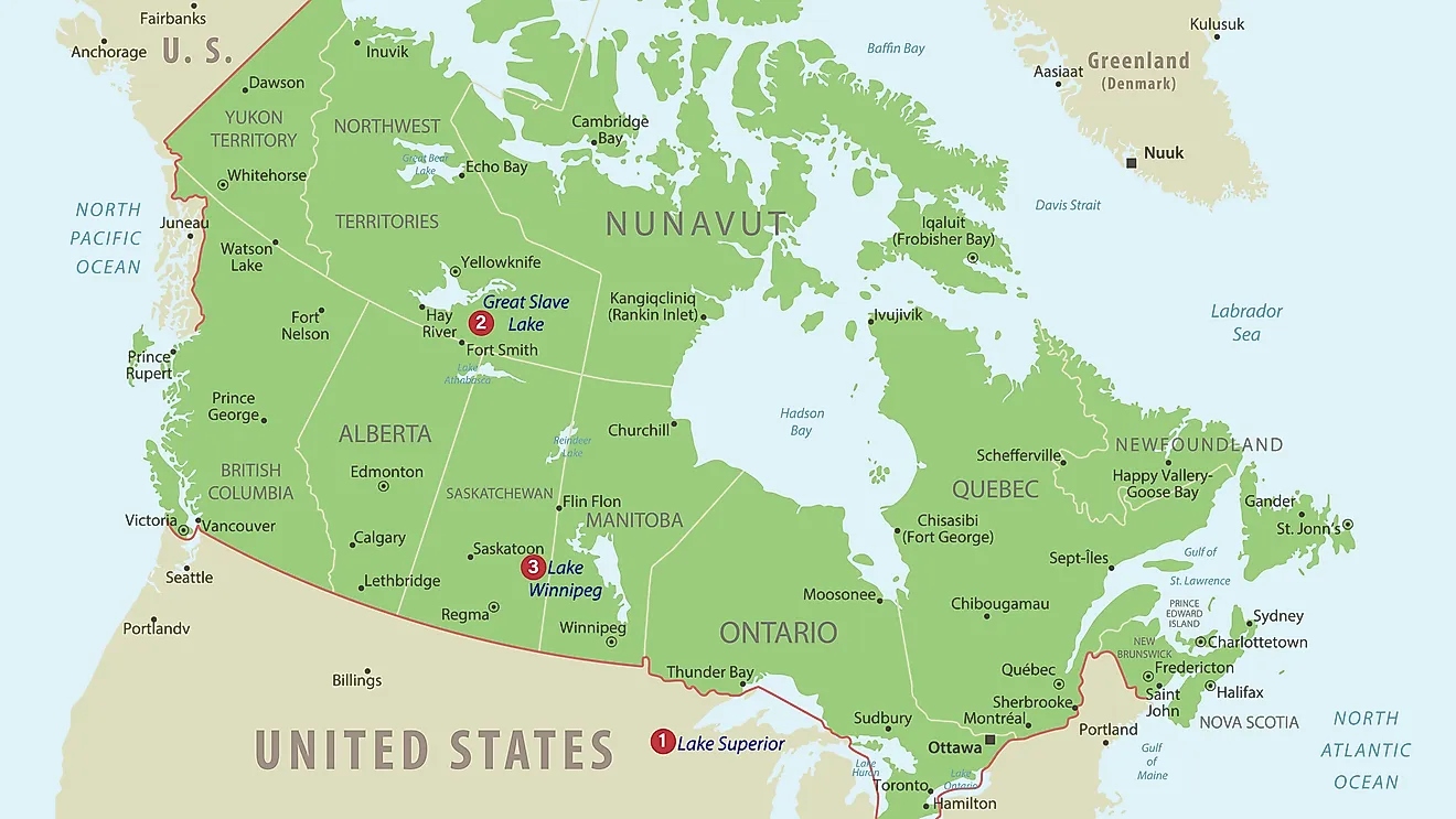
Encompassing an area of 19,000 sq. km, Lake Ontario is the smallest of the Great Lakes and the world’s 14th largest lake. Lake Ontario is the most easterly lake in the series of Great Lakes and is situated at the base of Niagara Falls. The lake is bounded on the east and south by the US State of New York and in the west, north, and southwest by the Canadian Province of Ontario. Lake Ontario is the only Great Lake that does not border the US State of Michigan.
Contents:
Geography

Lake Ontario is roughly elliptical in shape and has a length of 311km and a maximum width of 85km. The lake has a mean surface elevation of 74m, which is considered to be the lowest among the Great Lakes. Lake Ontario has an average depth of 86m and reaches a maximum depth of 244m. The lake holds approximately four times the volume of water (1,640 km3) than Lake Erie and has a retention time of about 6 years. Lake Ontario receives its major inflow of water from the Niagara River which originates from the northern part of Lake Erie. Some other notable rivers that drain into the lake include the Black, Genesse, Don, Oswego, Salmon, Trent, Humber, and Cataraqui rivers. The Saint Lawrence River serves as the primary outflow of Lake Ontario and connects the Great Lakes basin with the Gulf of St. Lawrence and the Atlantic Ocean. Lake Ontario’s drainage basin extends over an area of 64,030 sq. km and similar to the other Great Lakes, the water level of Lake Ontario changes seasonally depending upon the amount of inflow and precipitation.
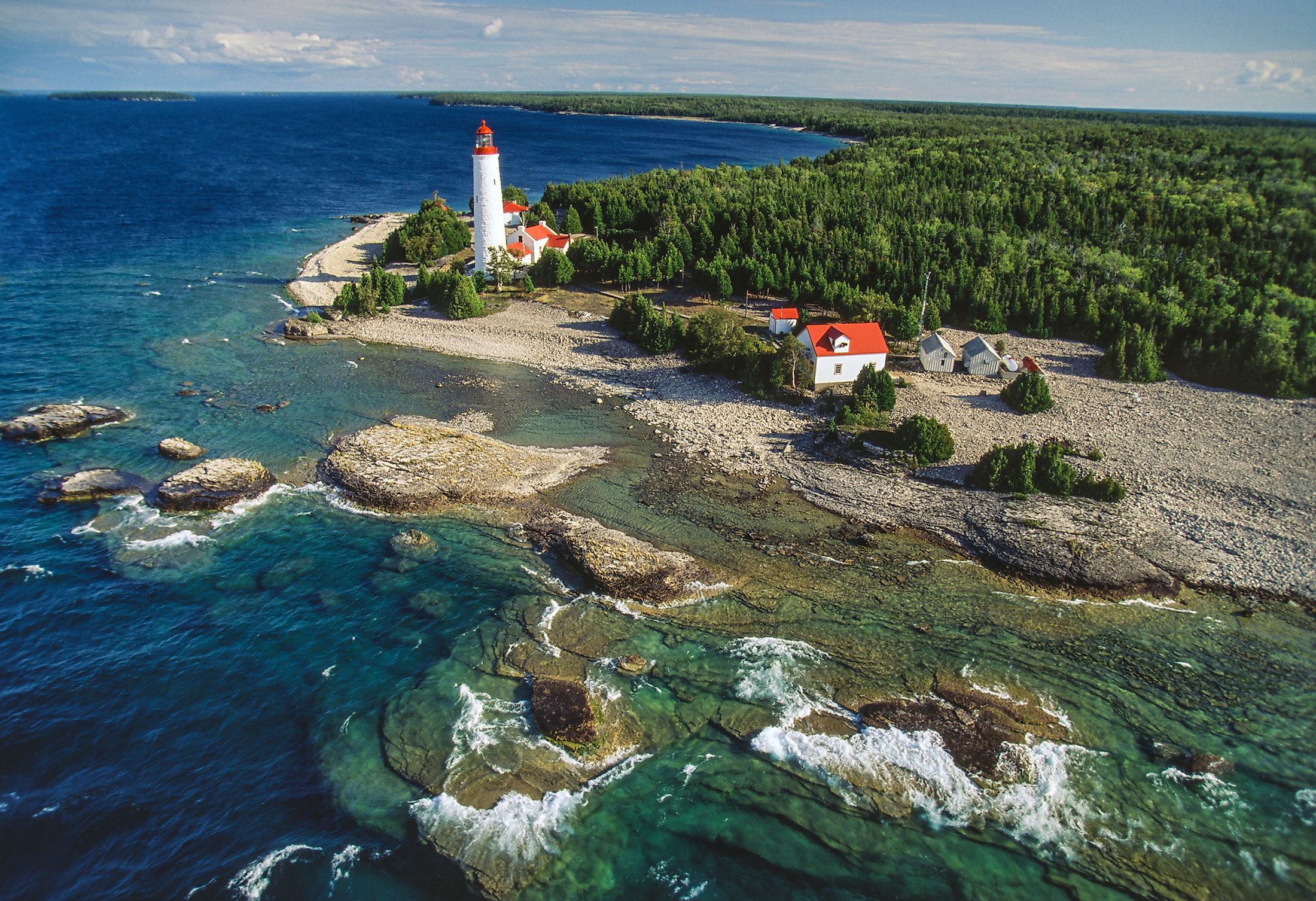
The prevailing winds and lake currents have led to the formation of Baymouth bars, which in turn have created many lagoons and sheltered harbors primarily adjacent to Prince Edward County in the southern part of the Province of Ontario and along the lake’s eastern shores. Located on the northern shores of Lake Ontario, Toronto Bay is the lake’s most well-known and strategic harbor. Some other notable bays and harbors on Lake Ontario are the Irondequoít Bay, the Hamilton Harbor, the Sodus Bay, etc. The Baymouth bars are characterized by long sandy beaches. The bars also create vast wetlands that host several species of flora and fauna and provides critical habitats for many migratory birds.
Geology
Geological studies have revealed that during the last glacial period, the lake’s basin was carved from soft, Silurian-age rocks by the Wisconsin ice sheet. During the last ice age, the lake formed a part of the larger Glacial Lake Iroquois and drained into the Mohawk River via the present-day city of Syracuse in the US State of New York. The Mohawk River then joined the Hudson River and flowed into the Atlantic. After the ice melted from the St. Lawrence valley, the outlet sank below sea level and the waters from the Atlantic began to drain into the lake. The land eventually rebounded after about 2,000m of ice melted at a rate of 30cm per century.
Climate

Due to the lake’s depth, the lake does not completely freeze during the winter months. The lake only freezes around its edges and therefore the ice-bound harbors remain closed from the mid of December to the mid of April. The water temperatures of the lake rise to 24°C during August and fall as low as 3°C during February. Lake Ontario faces a “seiche”, which is a natural rhythmic motion when the waters of the lake splash back and forth for every 11 minutes. Even though the entire lake region is affected by lake-effect snow, the southeastern and southern shores of the lake are referred to as Snowbelt areas that are deluged with about 600cm of annual snowfall. The impact of the lake-effect snow can be felt as far as the city of Syracuse, which is considered as one of the United States’ snowiest cities.
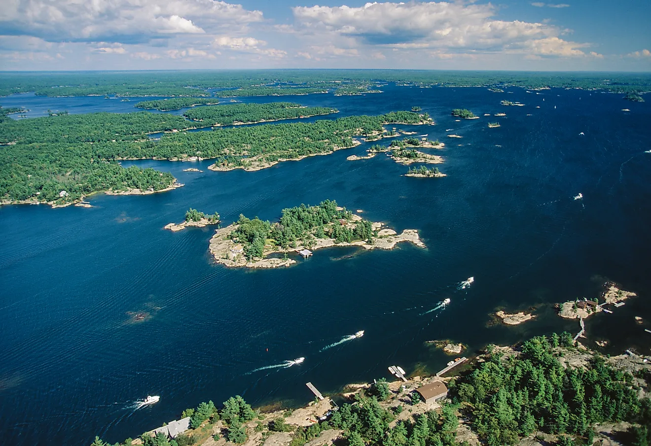
Islands

The islands of Lake Ontario are mainly located on the northeastern and eastern shores of the lake, between the lake’s outlet at the city of Kingston and the headland of Prince Edward County. All the islands are underlined by a basement rock that is found throughout the region. Some of the major islands of Lake Ontario include Toronto Islands, Wolfe Island, Simcoe Island, Amherst Island, Association Island, Grenadier Island, Big Island, etc. With an area of 124 sq. km, Wolfe Island is the largest island in Lake Ontario.
Flora And Fauna

The shores of the lakes are covered by deciduous forests with major trees like oak, maple, basswood, ash, etc. However, in some areas over 90% of the forest cover has been lost to agriculture and urbanization. The extensive freshwater marshes, dunes, and wetlands provide support to several floral and faunal species. Coho salmon, Chinook salmon, lake trout, walleye are some of the major fishes that are found in the waters of the lake. Invasive species like zebra mussels and lampreys are also found. It is believed that there used to be numerous species of fishes in the Lake waters, but overfishing had led to the complete collapse of the lake’s commercial fishery. Currently, many migratory birds like ducks, grebes, geese, and other waterfowl species are found in Lake Ontario. Other birds like bald eagles and ospreys are also found here.
Brief History
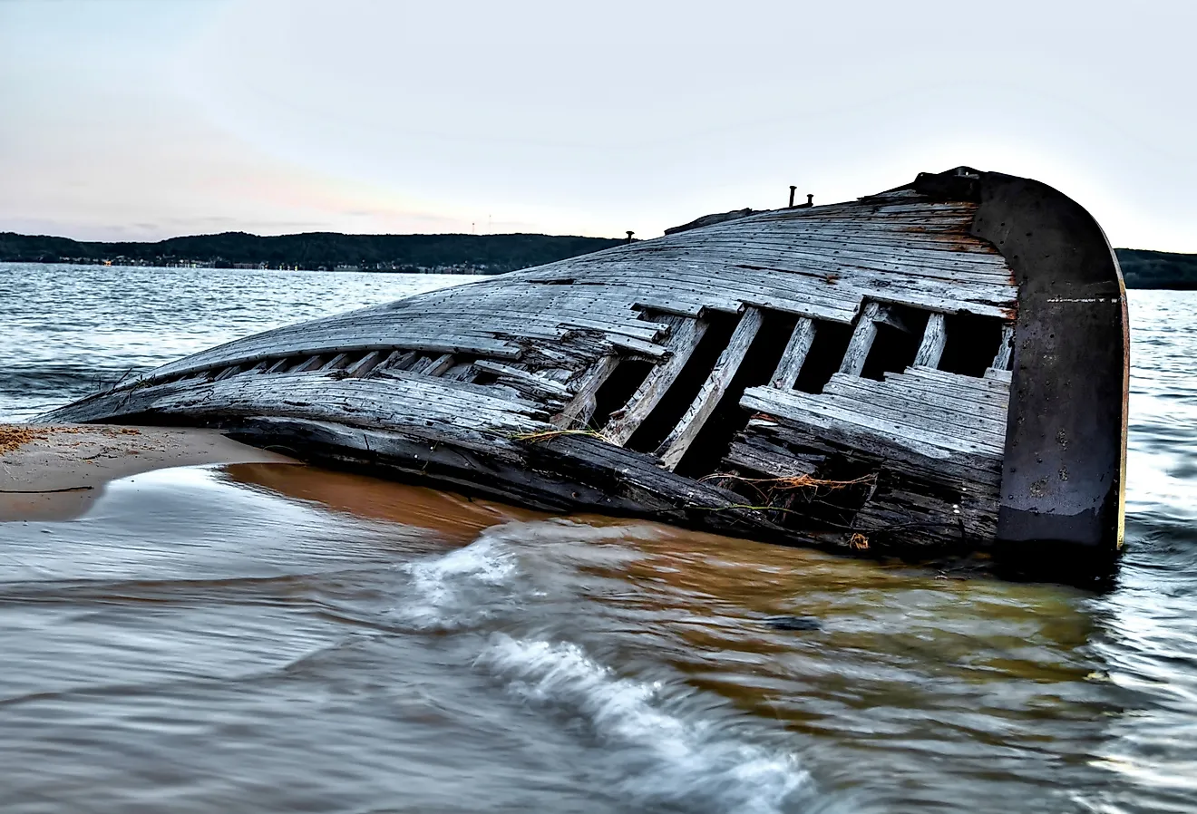
During the pre-Columbian era, the lake served as a boundary between the Iroquois Confederacy and the Huron people. The lake’s name has been derived from the Huron term ‘Ontarí’io’, which means “great lake”. During the 15th century, the Huron people were driven out from Southern Ontario by the Iroquois. The Iroquois eventually settled on the northern shores of the lake. After the Iroquois left, the area was settled by the Anishnabeg group of indigenous people. In 1615, Étienne Brûlé and Samuel de Champlain became the first Europeans to reach Lake Ontario. The lake was referred to as “Lac de St. Louis” by Samuel de Champlain. During the late 17th and the early 18th century, a temporary truce between the French and the Iroquois Indians led to the construction of many forts such as Fort Frontenac, Fort Rouillé, and Fort Oswego. After the French and Indian War, all the forts were taken over by the British. In 1794, after the Jay Treaty, the United States took over all the forts that were situated on the American side of the lake. During the War of 1812, Lake Ontario served as a hub for commercial activities and was traveled by large steamships.
Navigation
The Niagara River and the Welland Canal serves as a connection between Lake Ontario and Lake Erie. The Trent Canal links Lake Ontario with the New York State Barge Canal and Georgian Bay. The Rideau Canal links Lake Ontario in the city of Kingston with the Ottawa river in the city of Ottawa. Toronto, the largest city of Canada is located along the shores of the lake. Some other major settlements include Kingston and Hamilton in Ontario and Rochester in New York. In 1954, Marilyn Bell became the first person to swim across Lake Ontario.