The Doubly Landlocked US States
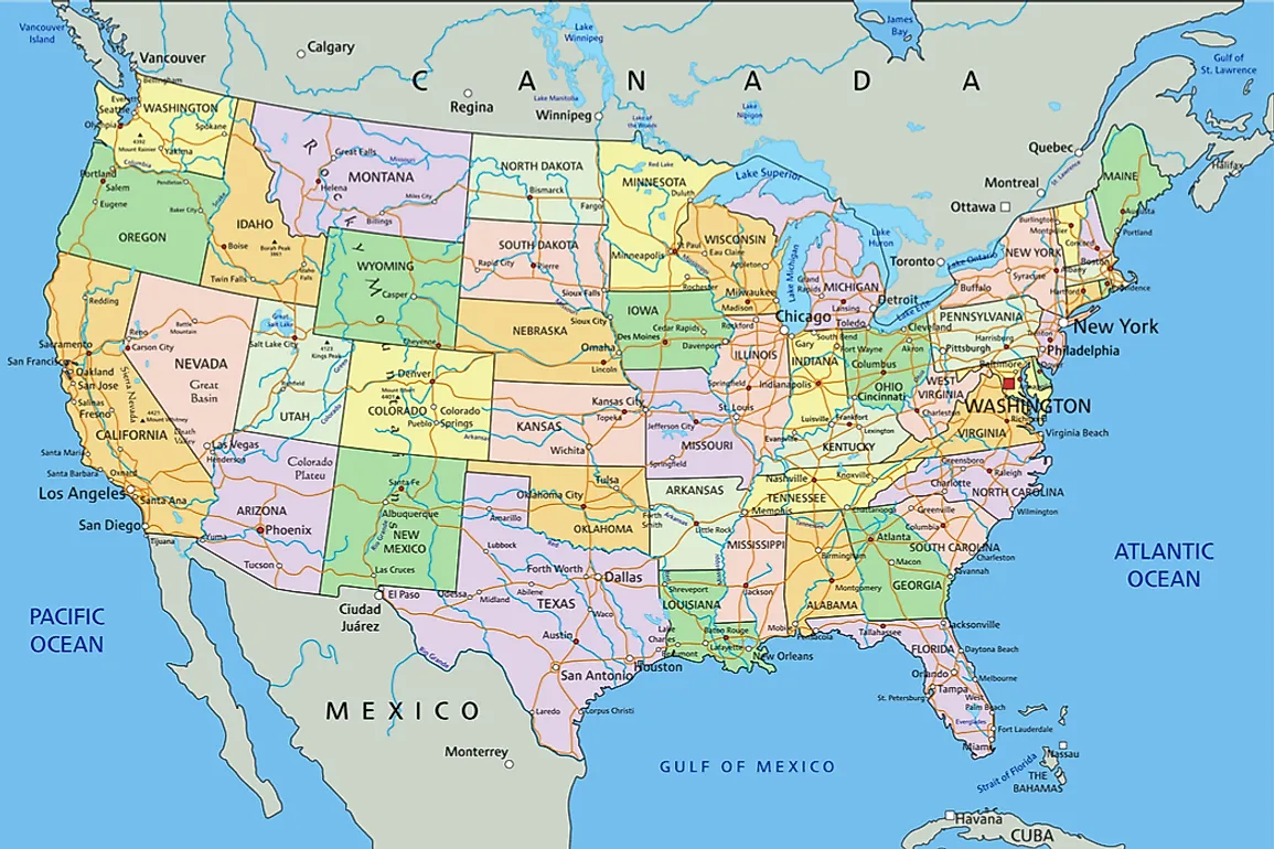
Doubly landlocked states refer to the states that have to cross the boundaries of two other states to access the nearest gulf, bay, sea, or ocean. Of the fifty states of the United States, ten are doubly landlocked, 17 states and DC are singly landlocked, while Nebraska is the only triply landlocked state.
The 10 Doubly Landlocked US States
Colorado
Colorado accesses the Gulf of Mexico by traversing either New Mexico or Oklahoma, then Texas and the gulf. Colorado lies on the southern edge of the Rocky Mountains and the northeastern parts of the Colorado Plateau. The state was admitted to the Union on August 1, 1876, by President Ulysses S. Grant with the approval of the Congress. Colorado lies south of Wyoming, west of Kansas, north of New Mexico, and east of Utah. It is bordered by Oklahoma and Arizona to southeast and southwest respectively. Colorado, Utah, Arizona, and New Mexico converge to form the four corner region.
Illinois
The states of Illinois and Michigan share a water boundary on Lake Michigan. To access James Bay, one has to travel to Michigan then to the Canadian province of Ontario. Alternatively, one can go through Kentucky and Virginia to the Atlantic Ocean. Although Illinois is considered a landlocked state it borders Lake Michigan which connects to the Atlantic Ocean through the Saint Lawrence Seaway. Illinois was admitted to the Union on December 3, 1818 as the 21st state of the United States.
Indiana
From Indiana, the Hudson Bay is accessible through Michigan then to the Canadian province of Ontario. Alternatively, the Atlantic Ocean is accessible through Kentucky and Virginia. Just like Illinois, Indiana borders Lake Michigan which connects it to the Atlantic through the Saint Lawrence Seaway. The state joined the Union on December 11, 1816, as the 19th state. Indiana has an estimated 24,000 river miles which include Ohio, White, Blue, and the Whitewater rivers. About 70 million tons are shipped through Lake Michigan and the Ohio River which is an inland Waterway System.
Iowa
From Iowa, the closest bay is through the state of Minnesota then to the Canadian provinces of Manitoba or Ontario to access the James or Hudson Bay respectively. However, the distance between Iowa and the two bays makes it nearly impossible to travel the length considering that an international boundary line exists. However, goods from Iowa are transported by land to the port of Chicago which is much closer. Alternatively, the goods can be transported through Wisconsin to Lake Superior or Lake Michigan.
Kansas
The nearest gulf to Kansas is the Gulf of Mexico which is accessed through Oklahoma then Texas. The state was admitted on January 29, 1861 as the 34th state of the United States. Kansas is known for the production of cereals including wheat. Despite being landlocked Kansas is well served by some of the most prominent rivers in the US including the Kansas and Arkansas Rivers, and the Missouri, Republican and Smoky Hill Rivers.
Missouri
Although Missouri is landlocked, it is strategically located to access several coastlines. To access the Gulf of Mexico, one has to route through Arkansas then to either Texas or Mississippi or through Oklahoma into Texas then to the Gulf. To access the Atlantic Ocean one routes through Tennessee then to either Virginia, Georgia or North Carolina. The alternative route is through Kentucky and Virginia to the ocean. Despite its alternatives to the ocean, Lake Michigan offers the shortest seaway and is accessible through Illinois.
South Dakota
South Dakota accesses James Bay through Minnesota and the Canadian province of Ontario and Hudson Bay through North Dakota and Manitoba in Canada. However, South Dakota can access Lake Superior through Minnesota, or Lake Michigan through Minnesota and Wisconsin, Iowa and Wisconsin, or Iowa and Illinois. The Missouri River dissects the state into "West River” and “East River."
Utah
The Pacific Ocean is the closest and largest water body to the state of Utah. To access the Pacific from Utah the route goes through Idaho to either the states of Washington or Oregon from where the coastline is accessible. Either way, one can access the coastline either through Arizona or Nevada then to California. Alternatively, the Pacific coast is accessible through Nevada into Oregon. The Gulf of Mexico is however accessible through New Mexico and Texas.
Wisconsin
The State of Wisconsin can only access the bays on the Canadian side of the border. The route to either bay is through Michigan or Minnesota then to Ontario to access James Bay or Manitoba to access Hudson Bay. However, Wisconsin borders both Lake Superior and Lake Michigan, both of which are part of the Saint Lawrence Seaway and connect to the Atlantic.
Wyoming
The Pacific Coast is the closest coastline to the state of Wyoming. To access the Pacific, the route is through Idaho then to either Oregon or Washington. The alternative route is through Montana then to the Canadian Province of British Columbia.


