How Are Coastlines Measured?
The coastline of the US is 29,093 miles according to the Congressional Research Institute and 19,924 miles according to the CIA. Both institutions have different results from measuring the same coastline. Neither of these institutions is wrong; their differences lie in the scale of measurement. The problem of determining the actual length of coastlines presents a lot of challenges to cartographers and researchers. The coastline paradox is simply the observation that the coastline of a landmass has no defined length. Depending on the scale used, the coastline may be larger or smaller. When using a smaller scale, the length of the coastline is larger than that which is measured using a larger scale. Various scientists have studied the phenomenon for several years in a bid to explain the coastline paradox.
Explaining the Coastline Paradox
Lewis Fry Richardson discovered the coastline paradox in 1951. He discovered the phenomenon when trying to calculate the probability of two countries going to war on account of a shared border. While studying various published works, he noticed the differences in the lengths of international borders, particularly those between Spain and Portugal and between Netherlands and Belgium. Richardson discovered the paradox influencing the size of the coastline depending on the scale used. He found that, when using a smaller scale, the size of the coastline tends to move towards an infinite number.
Benoît Mandelbrot later expanded on the works of Richardson in explaining the coastline paradox. In his quest to establish a formula for calculating roughness of objects in nature, Mandelbrot discovered fractals. Fractal is an abstract object which has self-similar patterns that become more complex as you enlarge them. Determining the length of fractals, therefore, becomes an impossible task and only estimates can be made. Coastlines present such challenges in that, the more you zoom in, the more the inconsistencies multiply, making it impossible to determine their actual length. Fractals are common including in mountains, plants, and coastlines. Their presence in nature, especially in the case of coastlines, reinforced the irreducibility of the earth and the fact that not everything can be determined.
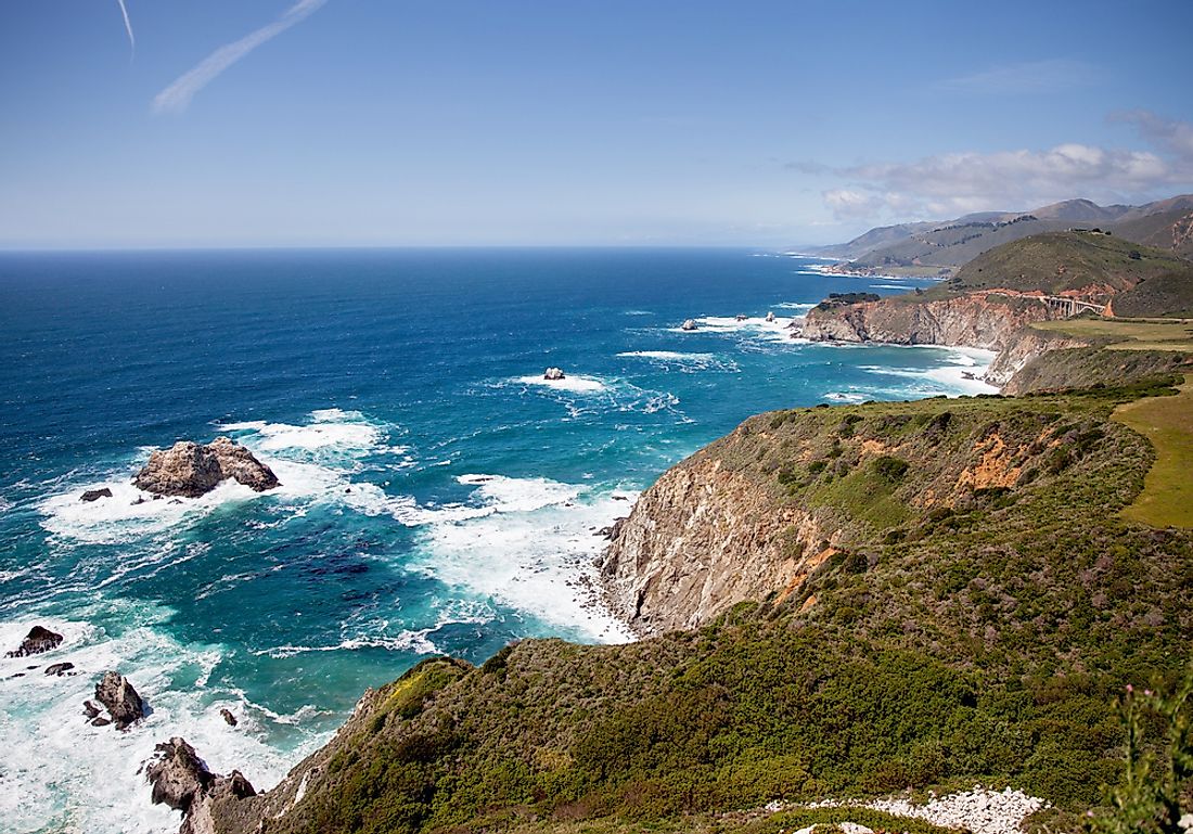
Changing Coastlines
The world's coastlines are under constant change due to erosion, rising sea levels, and tidal waves. These, coupled with the mathematical complexity of measuring coastlines make it even harder to determine the actual length of coastlines. Other features such as fjords and the roughness of the coastline add to the difficulty of measuring a coastline.
Establishing a Standard
The coastline paradox presents a lot of frustration to cartographers and researchers who cannot accurately determine the sizes of the coastlines. Because of this, standards are established towards creating estimations for the sizes of these coastlines. These standards include the 1990 ShoreZone Shoreline from the Washington Department of Natural Resources which measures coastlines from a low flying aircraft. The estimations made are of a manageable number instead of using abstract definitions such as infinite. However, these standardizations also present a margin of error which sometimes creates considerable discrepancies in measurements compared to the actual coastline.


