Tropic of Capricorn
When the constellation Capricorn is discussed in conversation, it is usually in the context of zodiac signs, Capricorn being attributed to those born between December 22 and January 19 and its subsequent meaning. Or, perhaps, it is used in conversations about the Marvel comic book character whose name is Capricorn. Maybe for some, the word Capricorn conjures memories of middle school geography lessons in which learning about latitude and longitude took place. While the latter of these possibilities may be less entertaining than learning about Capricorn as a zodiac sign, the latitudinal line known as the Tropic of Capricorn has certainly had more of a societal impact, especially within Western society. So what exactly is the Tropic of Capricorn? Continue below.
Definition

Simply put, the Tropic of Capricorn is the latitudinal line that marks the farthest southern latitude at which point the sun appears to turn after reaching its declination, or zenith.
What Exactly Does That All Mean?

In Lehman's terms, the Tropic of Capricorn is an imaginary line that sits at a latitude of 23.5 degrees south of the Equator. It is one of the five most important latitudinal lines across the entire earth and marks the last point where the sun appears directly overhead at its zenith (its highest point) on the December Solstice (also known as the Hibernal or Winter Solstice). On the December Solstice, the elevation angle of the earth to the sun is 90 degrees. Due to the curvature of the earth, as well as to its axial tilt (or obliquity), at any location farther south than the Tropic of Capricorn, on the day of the December Solstice, the sun appears to no longer be directly overhead when at its highest point in the sky.
Where is the Tropic of Capricorn?

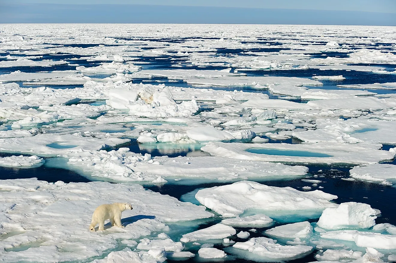
The Tropic of Capricorn is located at a latitude of 23.5 degrees south of the equator. For reference the equator, located at the widest portion of the earth, and the exact center when measured between the north and south poles, has a latitude of 0.00 degrees north (or south). The Antarctic Circle is located at 66 degrees south making it closer to the South Pole than the Tropic of Capricorn.
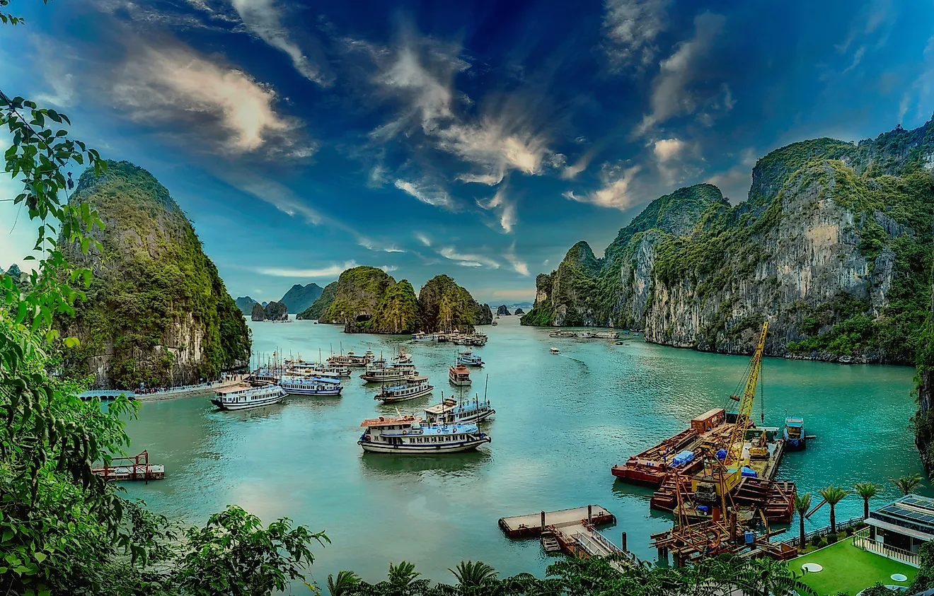
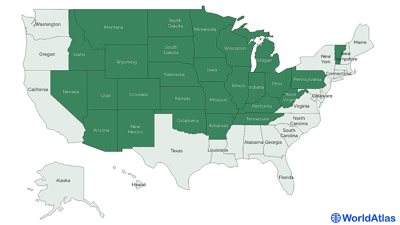
The Tropic of Capricorn passes through much more open water than the Tropic of Cancer, but there are still several countries it does run through. These include Argentina, Brazil, Namibia, Mozambique, Chile, Madagascar, Australia, French Polynesia, South Africa, New Caledonia, Fiji, Paraguay, Botswana, Tonga and the Cook Islands, and the Pitcairn Islands.
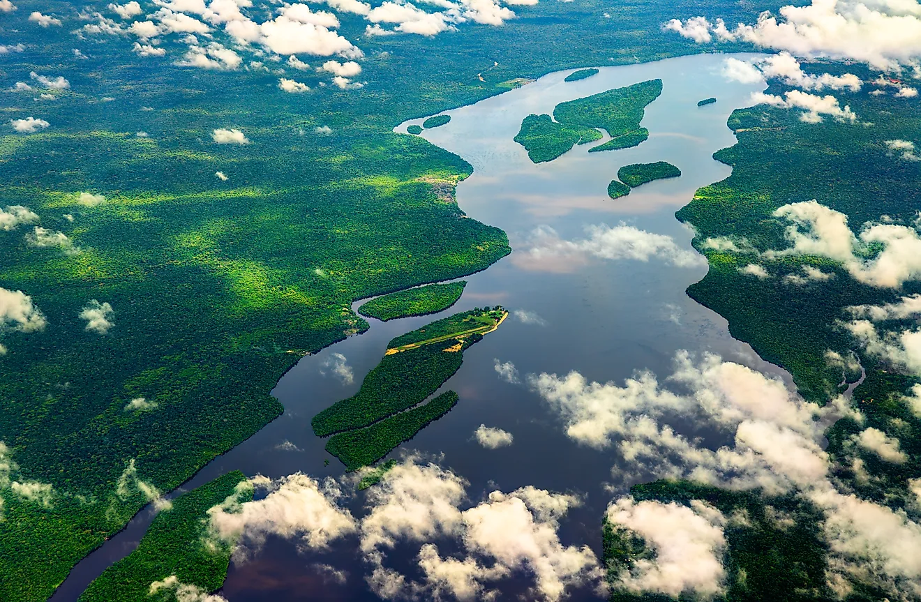
The region between the Tropic of Capricorn and the Tropic of Cancer, which is its twin in the southern hemisphere, is called the Tropics, or the Torrid Zone. This region is characterized as being much warmer, and having a higher humidity, than those regions latitudinally south of the Tropic of Capricorn. This region contains around 40% of the earth’s human population and by the end of the decade, it is projected that this number will be over 50%.
Why is it Important?

Before we had access to GPS or any other radar navigation systems, knowledge of how and where the celestial bodies appeared in the day and night sky meant that one could find their way home if lost, or find their way to any other location once it location had been recorded about one’s origin point (such as on maps). Although that may seem insignificant, especially in light of modern access to applications such as Google Maps and MapQuest, before this, it allowed humans to create trade routes. Trade between cultures meant there was an intellectual exchange of technology and ideas, which served to aid humans in their evolution out of the Stone Age and into the Bronze and Iron Ages, and so on.
Global exploration was also fueled by the knowledge that one could navigate home, and/or accurately record the locations of lands newly ‘discovered,’ to be able to return to these places. Explorers and travelers on both land and sea used their celestial knowledge to navigate across long distances, and the knowledge of the Tropic of Capricorn, along with the Tropic of Cancer in the Northern Hemisphere, played an important role in the safe passage of both trading parties along trade routes, and explorers to unknown lands.
Today, access to modern technology has made the knowledge of the Tropic of Capricorn, and what this line represents, along with celestial navigation skills, obsolete. This said, humans across the earth continue to benefit from industries that evolved from its discovery to varying degrees. This has mainly been beneficial in determining one’s proximity to the sun especially in terms of transporting agriculture and transcontinental navigation. In many ways, some more obvious than others, modern humans owe a great deal to those who identified and named the Tropic of Capricorn, and the Tropic of Cancer, over 2,000 years ago.