Western Australia
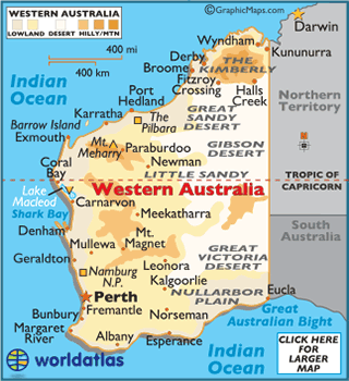
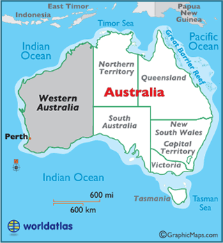
Western Australia makes up nearly one-third of the
Australiancontinent, and is the second largest administrative territory in the world.
The landscape of Western Australia is fairly diverse, and varies from the wild and rugged to forests and vineyards and on into a coastline dotted with reefs. However, much of the territory is a massive stretch of the outback.
The largest deserts of Western Australia are the Great Sandy, Gibson, and Great Victoria expanses.
The interior of the Western Australia territory is generally flat, and punctuated with small hills - although, there are higher mountains in the northern region. Mount Meharry is the highest point of the territory at 4,098 ft (1,249 m).
Most of the rivers in Western Australia flow only during the rainy season, with the exception of the Fitzroy, Ord and Swan Rivers.
The lowest point is Lake Macleod at −13 ft (-4 m).