Shetland Islands
The Shetland Islands is one of the two archipelagos of the Northern Isles, located in the North Atlantic Ocean. The island group, alongside the Orkney Islands, is part of Scotland. The archipelago has 16 inhabited islands, including the Mainland, Scotland’s third-largest island, and the British Isles’ fifth-largest island. Shetland and Orkney Islands are separated by a water body known as Fair Isle Channel.
Contents:
Where Are The Shetland Islands?
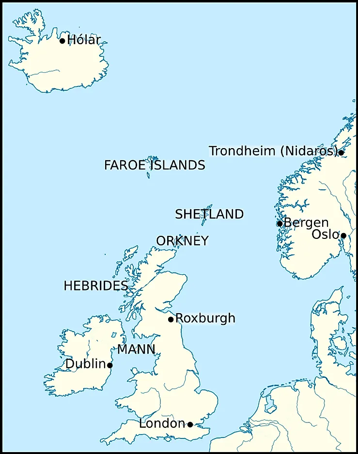
Shetland is located in the North Atlantic Ocean, between Norway, the Faroe Islands, and Great Britain (Scotland). It is Scotland’s and the United Kingdom’s northernmost point. The islands are approximately 300 km west of Norway, 80 kilometers off the southwest of Orkney, and 170 kilometers north of mainland Scotland. Shetland is located between the Norwegian Sea on the west and the North Sea on the east.
Geography
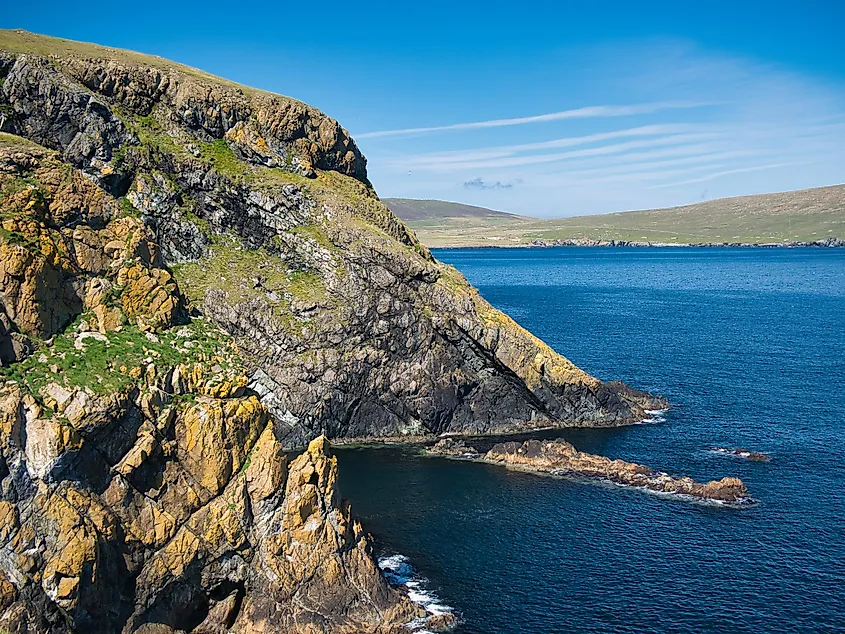
The Shetland Islands have a total area of 1,466 km2 and a coastline of 2,702 km2. The archipelago comprises about 100 islands and numerous islets and rocks. However, only 16 of the islands are inhabited. The island group measures 117 km from Muckle Flugga (Unst) in the north to Sumburgh Head in the south.
Shetland has a complex geology, making it quite different from the Orkney Islands. Numerous fold axes and faults characterize the archipelago's geology. Some islands contain granite intrusions and Old Red Sandstone. Ophiolite, exposed oceanic crust that is one of the island’s distinctive features, is a remnant of the historical Iapetus Ocean floor that existed 400 to 600 million years ago. At 450 m above sea level, Ronas Hill is Shetland’s highest point. The archipelago’s surrounding seas (Norwegian Sea and North Sea) contain oil-bearing sediments that contribute significantly to the islands’ economies.
Islands
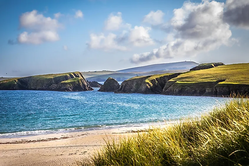
Shetland comprises approximately 300 islands, islets, and rocks, with all the islands administered by the Shetland Islands Council. However, only 16 of the islands are inhabited. Mainland Island is the largest island on the archipelago, covering 970 km2. It is the British Isles’ fifth-largest island, after Skye, Lewis and Harris, Ireland, and Great Britain. The island is divided into four parts. The North Mainland, particularly Northmavine, connects to the Mainland by Mavis Grind isthmus. The West Mainland lies to the west of Aith and comprises Sandness and Walls villages. The South Mainland is the area south of Lerwick.
Yell is Shetland’s second-largest island, spanning 212 km2. It is also the archipelago’s third-most populous island and 15th in Scotland, with a population of 1,000. Yell is approximately 31 km long and 12 km wide at the widest point. The island has coastal settlements, including Burravoe, Mid Yell, Ulsta, and Gloup.
Unst is one of Shetland’s North Isles. In fact, it is the British Isles’ northernmost inhabited island and covers 120 km2. The island is home to 650 inhabitants. Other major islands include Fetlar, Bressay, Whalsay, Muckle Roe, Foula, Papa Stour, Fair Isle, West Burra, and East Burra. These islands have surface areas of at least 500 km2.
Climate
The Shetland Islands experience an oceanic temperate maritime climate, characterized by above-average summer temperatures and long, cool winters. Summers are generally short and mild. The climate is moderated by the surrounding seas, with average night temperatures above 1 °C (34 °F) between January and February. The average daytime temperature between July and August is 14 °C (57 °F). However, inland areas within the same latitude experience large differences in temperature between winter and summer. Frosts are common throughout the year, with a frost-free period lasting as little as three months.
Brief History
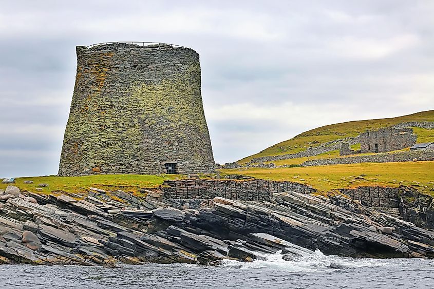
The numerous brochs on the islands, round stone structures, were constructed during the Iron Age. During this era, the islands were mainly inhabited by the Picts.
As the Scandinavian population expanded, there was a need for more land and resources to support the growth. The Vikings began invasions of the neighboring islands, not only to plunder but also to occupy them. By the 9th century, Shetland had been colonized. The fate of the indigenous people remains unknown. Vikings used Orkney and Shetland for their buccaneering expeditions to Scotland and Norway. In 875, Harald Harfagre (Fairhair), Norwegian King, annexed the two islands and gave them to his relative Rognvald Eysteinsson as an earldom. Shetland came directly under Norwegian rule in 1194.
From around the 13th century, the monarchs of Scotland began their quest for control of the surrounding islands, leading to several conflicts between them and Norway, including the Battle of Largs. Although the archipelago was still part of Norway in the 14h century, Scottish influence was on the rise. In 1468, Norway mortgaged the islands to Scotland as part of a dowry agreement between James III of Scotland and Margaret, Christian I’s daughter. The dowry was not paid because Margaret died before they were married, so Shetland and Orkney became part of Scotland.
Wildlife
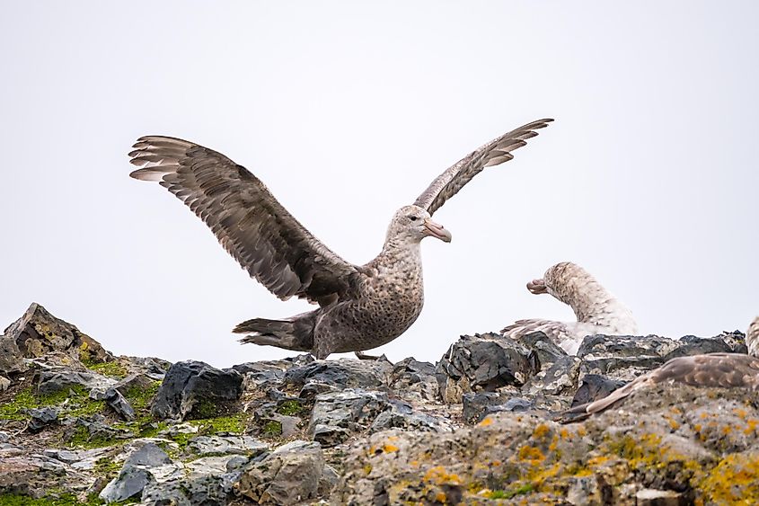
Shetland’s three nature reserves protect seabird colonies and preserve the fragile serpentine flora. Sites of Special Scientific Interest cover more than 60% of several islands’ land areas, including Papa Stour and Fair Isle. The archipelago’s harsh condition has limited the available plant species to only 400. Endemic flora includes crab apple and rowan.
There are numerous seabird colonies on Shetland, with bird species including storm-petrel, Atlantic puffin, and red-throated diver. There are also numerous moorland birds and rarities on the archipelago. The island group’s geographical isolation resulted in the depletion of mammalian species. Rodent species include house mice, brown rats, and Shetland field mice.
Economy
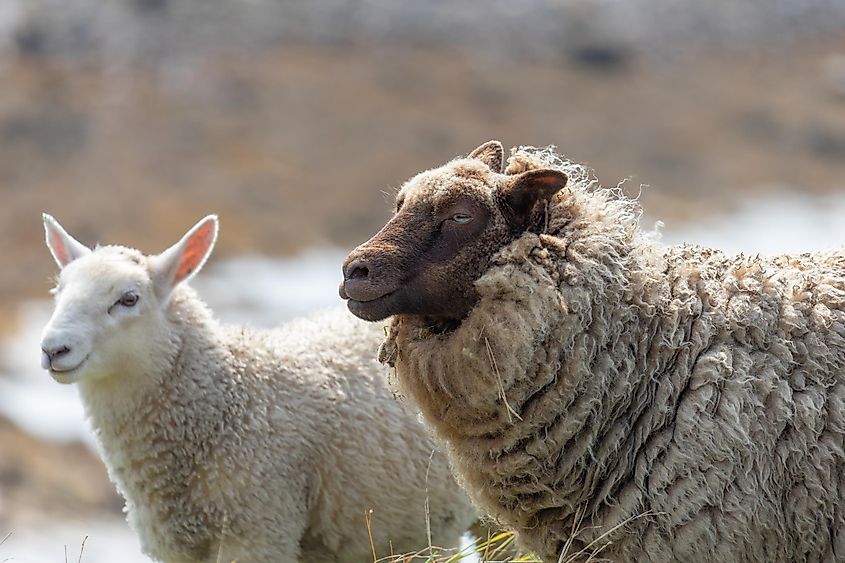
Shetland’s economy mainly relies on agriculture, tourism, fisheries, petroleum industry, and renewable energy. In 2009, the islands recorded over 83,500 tons of fish catch, valued at about £73 million. Mackerel account for over 50% of the total catch by value and weight. Other catches include herring, monkfish, cod, and shellfish.
Shetland is one of the world’s best places for tourists. The islands are both beautiful and rewarding, with the natural beauty remaining intact. Visitors spend over £16 million on the islands annually. Several TV series, including Shetland, have been filmed and aired on the islands.
Sullom Voe on Mainland is one of Europe’s largest oil terminals. Taxes from oil and gas sales are used to fund public sector expenditures, especially social welfare, environmental conservation measures, sports, and art. Agriculture is largely restricted to raising Shetland Sheep, popular for their quality wool.
