Maps of Luxembourg
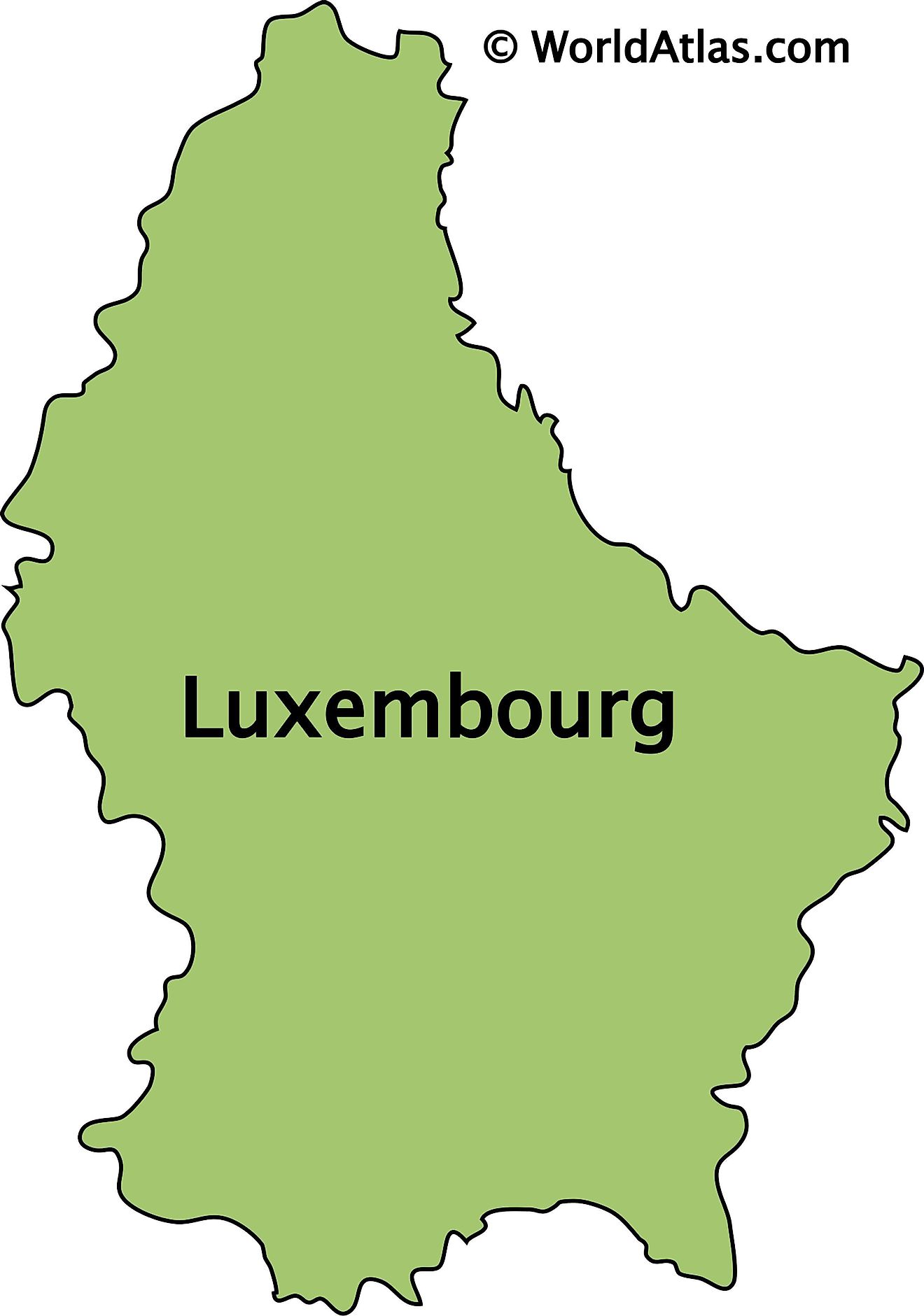
Luxembourg, one of Europe's smallest nations, has an area of only 2,586 sq. km (998 sq mi).
It is a landlocked country of thick, green forests that cover rolling hills and low mountains.
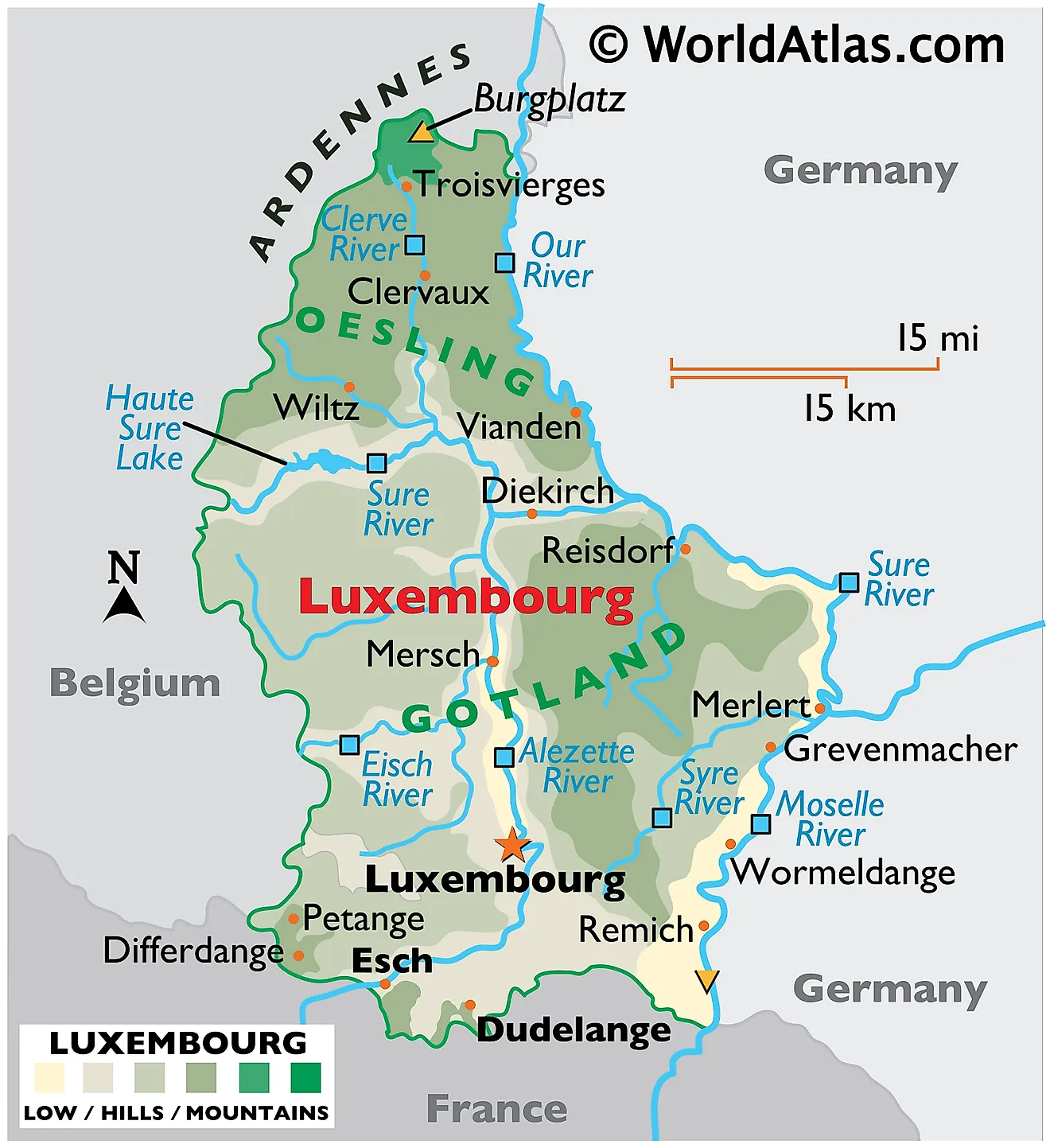
As can be observed on the physical map of Luxembourg, the country is divided into two regions, Oesling and Gotland.
The northern region, (Oesling) is a ridged plateau, with land that suffers from bad soil composition, and remains (for the most part) unproductive.
Slicing across the northern border with Belgium are the Andrennes (low mountains), while the southern region of Gotland is blessed with fertile soil and nourishing rivers.
Luxembourg's highest point, Burgplatz, stands at 1,843 ft. (559m). A yellow upright triangle marks its position on the map. The lowest point (marked by an inverted triangle) is located at the confluence of Sauer and Moselle Rivers, in Wasserbillig and is 129.9 m above sea level.
Many rivers criss-cross the country. Important rivers include the Alzette, Eisch, Moselle, Our and Sure. The largest lake is Haute Sure.
Cantons of Luxembourg Map
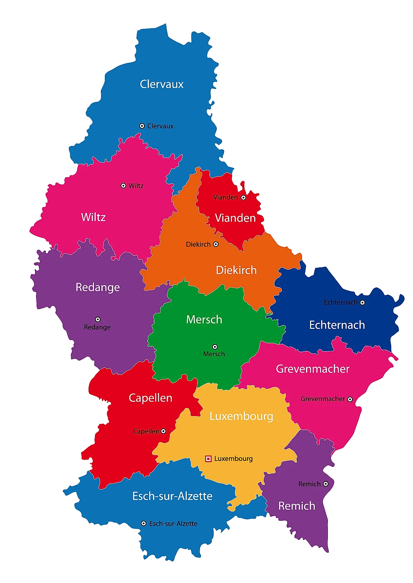
Luxembourg (officially, the Grand Duchy of Luxembourg) is divided into 12 cantons. In alphabetical order these cantons are: Capellen, Clervaux, Diekirch, Echternach, Esch-Sur-Alzette, Grevenmacher, Luxembourg, Mersch, Redange, Remich, Vianden and Wiltz. The cantons are subdivided into 102 communes (municipalities). Of these 102 communes, 12 communes have the status of cities.
With an area of 2,586 sq. km, Luxembourg is one of the smallest sovereign countries in Europe. With a population of 626,108 people, Luxembourg is one of the least populated countries in Europe. Located in Southern Luxembourg, at the confluence of Alzette and Petrusse Rivers, Luxembourg –City is the national capital, the largest city and the most populous commune of Luxembourg. It is also the cultural heart of the country. The City of Luxembourg is one of the 4 official capitals and the institutional seats of the EU.
Where is Luxembourg?
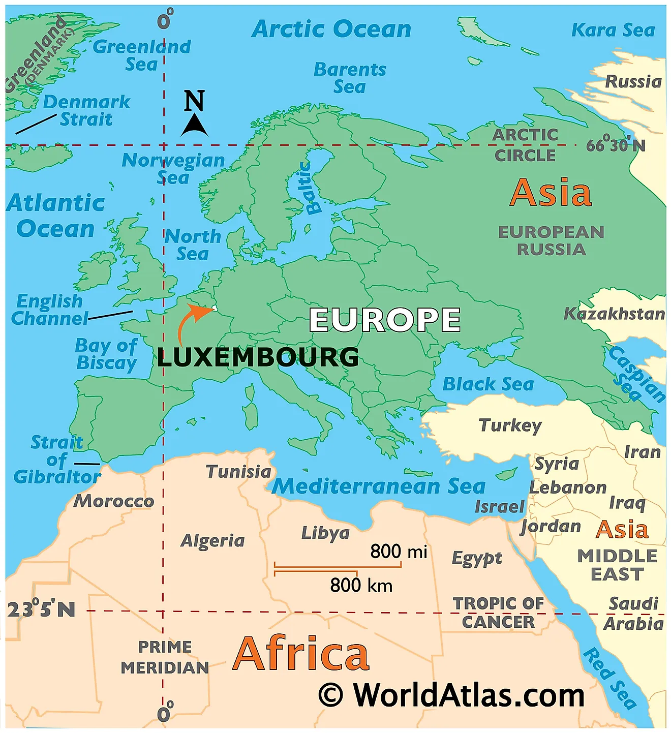
Luxembourg is a small landlocked western European Nation. It is positioned in the Northern and Eastern hemispheres of the Earth. Luxembourg is bordered by 3 Nations: Germany in the East and Northeast; by France in the south; and by Belgium in the North and West.
Luxembourg Bordering Countries: Belgium, Germany.
Regional Maps: Map of Europe
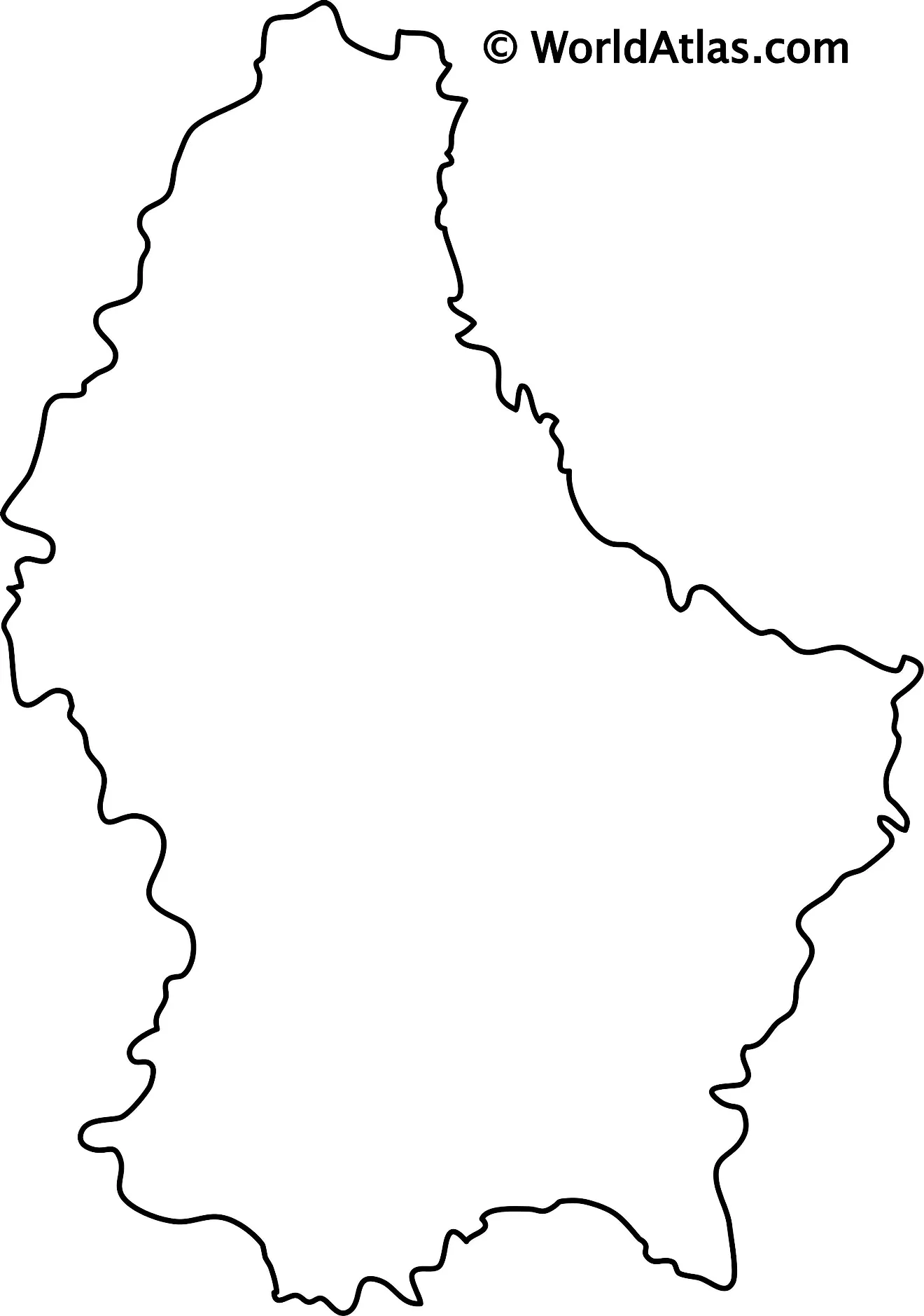
Outline Map of Luxembourg
Key Facts
| Legal Name | Grand Duchy of Luxembourg |
|---|---|
| Flag |
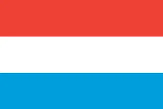
|
| Capital City | Luxembourg |
| 49 36 N, 6 07 E | |
| Total Area | 2,586.00 km2 |
| Land Area | 2,586.00 km2 |
| Water Area | N/A |
| Population | 619,896 |
| Currency | Euros (EUR) |
| GDP | $71.10 Billion |
| GDP Per Capita | $114,704.59 |
This page was last updated on February 24, 2021
