Channel Islands
The Channel Islands are an archipelago situated to the west of the Cotentin Peninsula, just off the French Normandy coast within the English Channel. The archipelago includes numerous islands, islets, and a network of rocks and reefs; but is neither considered as a part of France nor a part of the United Kingdom. They are self-governing British Crown Dependencies and comprise the two separate territories of the Bailiwick of Jersey and the Bailiwick of Guernsey.
The islands were named “Channel Islands” by the Royal Navy around 1830. Since these islands are Crown Dependencies, they do not form a part of the European Union nor the Commonwealth of Nations.
Geography

Bailiwick Of Jersey
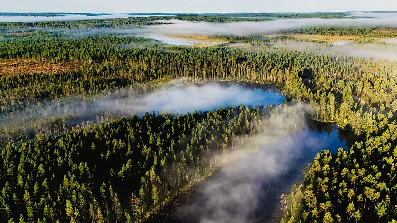
The Bailiwick of Jersey comprises the principal island of Jersey along with the uninhabited small island groups of the Les Minquiers, Les Écréhous, Les Dirouilles, Les Pierres de Lecq, and numerous other reefs.
Covering a total area of 118.2 km2, the island of Jersey is the largest, the most populous, and the southernmost of the Channel Islands. The island reaches a maximum elevation of 143 m above sea level. Jersey island is administratively divided into 12 parishes, which are further subdivided into Vingtaines. The 12 parishes are Saint Ouen, Saint Peter, Saint Brelade, Saint Mary, Saint John, Saint Lawrence, Saint Helier, Trinity, Saint Saviour, Saint Martin, Saint Clement, and Grouville. There are numerous valleys on the island including the Grands Vaux, Mont les Vaux, Waterworks Valley, and Le Mourier Valley. Les Platons is the island’s highest point which rises to an elevation of 136 m.
Saint Helier is the capital and the largest settlement of Jersey island. It serves as the island’s financial center and its central business district. Some mammalian species that are native to the Jersey Islands include the Jersey bank vole, the French shrew, the wood mouse, and the Lesser white-toothed shrew. The agile frog (Rana dalmatina) is endemic to Jersey Island.
Bailiwick Of Guernsey

The Bailiwick of Guernsey comprises the islands of Guernsey, Alderney, Sark and Herm, Jethou, Brecqhou, and Lihou.
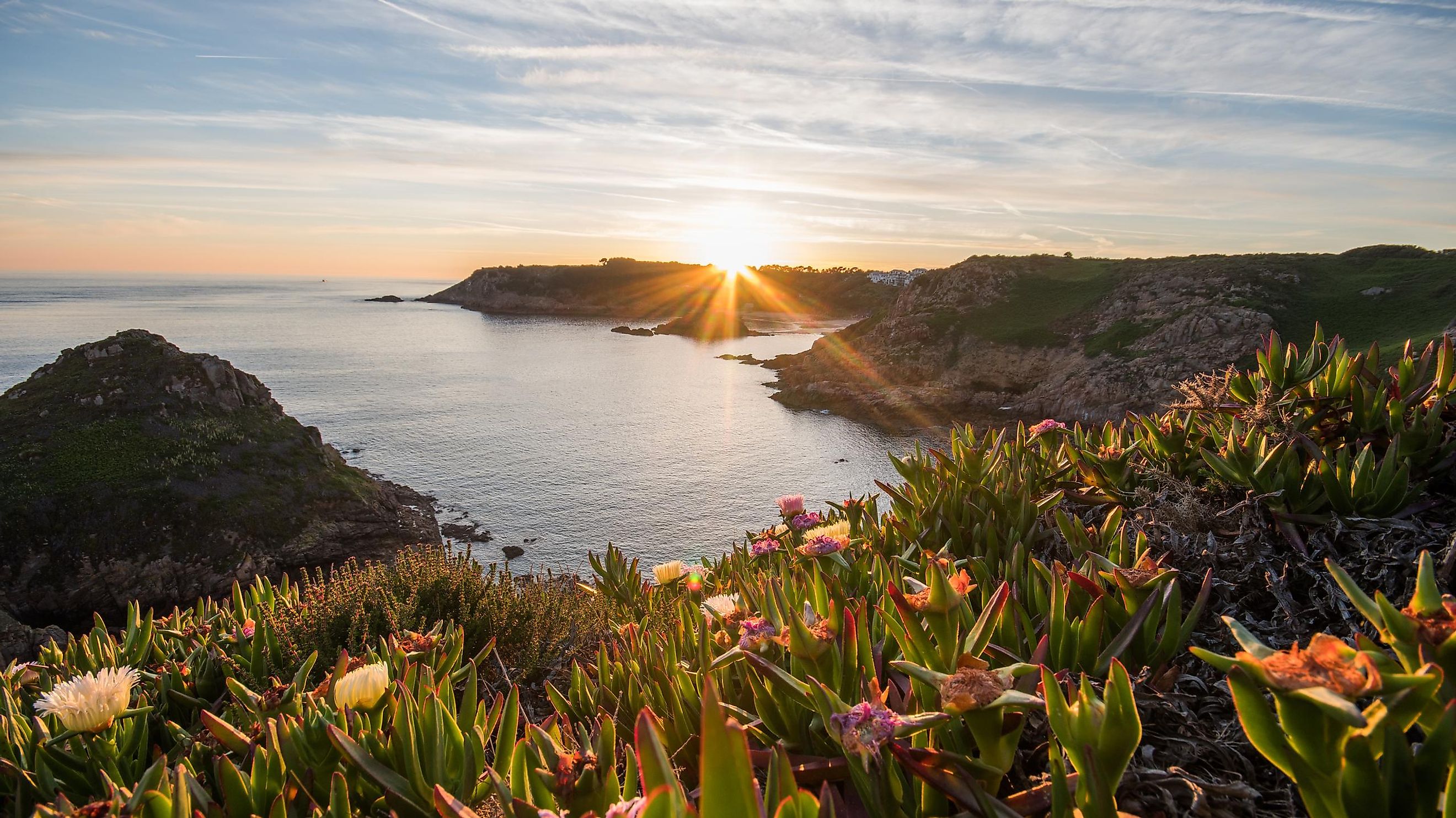
Covering a total area of 65 km2, the island of Guernsey is the second-largest and the westernmost of the Channel Islands. Guernsey Island is administratively divided into 10 parishes. These parishes are Castel, Forest, St Andrew, St Martin, St Peter Port, St Pierre du Bois, St Sampson, St Saviour, Torteval, and Vale. Located on the eastern coast of Guernsey island is St. Peter Port which serves as the island’s capital as well as its principal port. Guernsey has an elevation of about 110 m. Many small rocks, islands, reefs, and islets are present in the offshore waters of the island, which makes navigation a dangerous activity in this region.
With an area of 7.8 km2, Alderney island is the third-largest and the northernmost inhabited island in the Channel Islands archipelago. St Anne serves as the capital and principal town of Alderney. The island is characterized by sandy beaches and dunes with high cliffs in between. The island’s highest point is located on a central plateau which rises to an elevation of 90 m. The island and its surrounding islets support rich flora and fauna. The waters around Alderney are full of rocks, which has resulted in many shipwrecks. The Race of Alderney (Alderney Race) is a strait that separates Alderney from the Cap de la Hague of the Cotentin Peninsula, mainland France. The island’s western coast along with the smaller uninhabited islets of Burhov and Ortac have been designated as Ramsar Wetlands.
Covering an area of only 5.45 km2, Sark island is the fourth-most populous island in the Channel Islands archipelago. It consists of two parts, the Greater Sark and the Little Sark, which are connected by the narrow La Coupée isthmus. Le Moulin, which rises to an elevation of 114 m, is the island’s highest point. It is also the highest point in the Bailiwick of Guernsey. Herm, which is also a part of the Bailiwick of Guernsey, is the fifth-most populous island in the Channel Islands archipelago.
Brief History

Archaeological studies have revealed that the Channel Islands were first inhabited by humans about 250,000 years ago. Due to rising sea levels, the islands were separated from the European mainland during the Neolithic period. The islands were given to William I Longsword, the ruler of Normandy, by the king of Western Francia in 933 and became a part of the Duchy of Normandy. The islands passed to the English Crown when William II of Normandy became William I (William the Conqueror), King of England in 1066. In 1204, King John of England lost mainland Normandy and the Angevin lands to King Philip II of France. With the 1259 Treaty of Paris, England ceded its claim on Normandy and since then the Channel Islands became a possession of the British Crown. The Channel Islands were the only territories of the United Kingdom that were occupied by the Germans during the Second World War. The German occupation caused huge suffering to the inhabitants of the island, and the occupiers surrendered on May 9, 1945.
The economy of the Channel Islands is dominated by tourism, agriculture, and financial services. The island offers an attractive offshore tax haven for several companies and therefore boasts of a thriving financial industry. The islands are famous for their exports of locally grown flowers, fruits, potatoes, and tomatoes as well as their prized breeds of Guernsey cattle.