Where is Santo Angelo, Brazil?
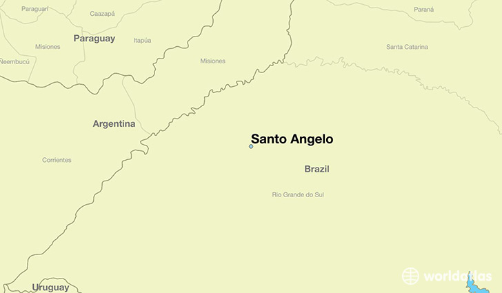
Santo Angelo is a city found in Rio Grande do Sul, Brazil. It is located -28.30 latitude and -54.26 longitude and it is situated at elevation 295 meters above sea level.
Santo Angelo has a population of 64,606 making it the 28th biggest city in Rio Grande do Sul. It operates on the BRST time zone, which means that it follows the same time zone as Porto Alegre.
Quick facts
| Country | Brazil |
| Province | Rio Grande do Sul |
| Population | 64,606 |
| Elevation | 295 m over sea level |
| Time Zone | BRST |
| Longitude | -54.263060 |
| Latitude | -28.299170 |
This page was last updated on October 2, 2015.