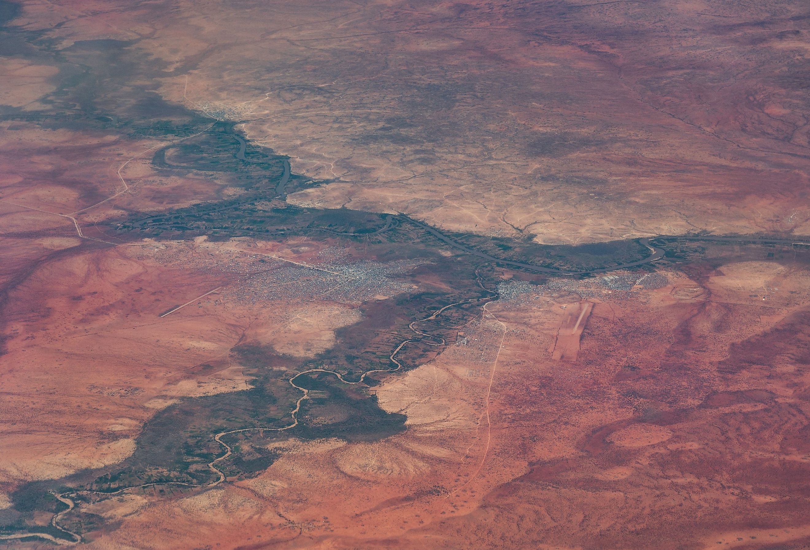
Jubba River
The Jubba River flows over an impressive 545 miles, forming at the border of Ethiopia and Somalia. It has historical significance, particularly concerning the Imperial British East Africa Company. Its role in trade developed the many villages that prosper along its shores. Jubba Basin covers a full 289,000 square miles, serving as the namesake for the Somali state of Jubaland. The river has vast geological diversity covering much of Somalia, including dramatic rapids and an often gentle coastline. Home to a unique set of ecosystems, the area includes Mangrove forests that comprise much of its coastline. This particular river is amongst the only rivers in the region to flow year-round, ranking among the longest in the continent. Lying in Ethiopia and Somalia, it is an area that supports those in the region by serving as a vital source of irrigation.
Course Of The Jubba River

The Jubba River begins in southern Ethiopia, starting with headwater streams originating in the Mendebo Mountains. It moves from Doolow, right along the Ethiopian frontier and just a few miles north of Kismaayo, a significant shipping port. The river moves through the Federal Republic of Somalia. It features a confluence of the Dawa River and the Ganale Dorya Rivers along the Ethiopian border. The water flows into the Somali Sea via the Goobweyn juncture. This then incorporates into the immense Indian Ocean. Its geologic and geographic value led to many exciting recordings over time. Many sought its potential, from the Guelf, setting sail in 1865, to the Kenia, setting out in 1892. It remains a point of interest to this day.
Geological Significance Of The Jubba River

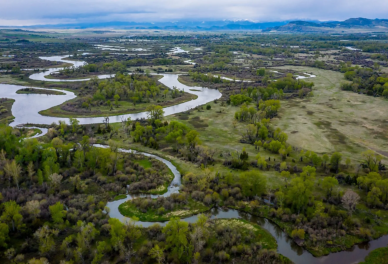
The geology of the Jubba River is essentially a savanna, but it stands apart from other continental rivers because it flows through the year. This creates opportunities for irrigation in an arid environment, leading to a fertile environment that promotes agriculture. Also, going by the name Webiga Jubba River, its unique snakelike outlay results in interesting African geography. It accommodates fertile land that spans throughout its journey. Featuring rapids and drops ranging from 300 to 400 feet, the river is as giving as it is intense.
Jubba River Flora And Fauna

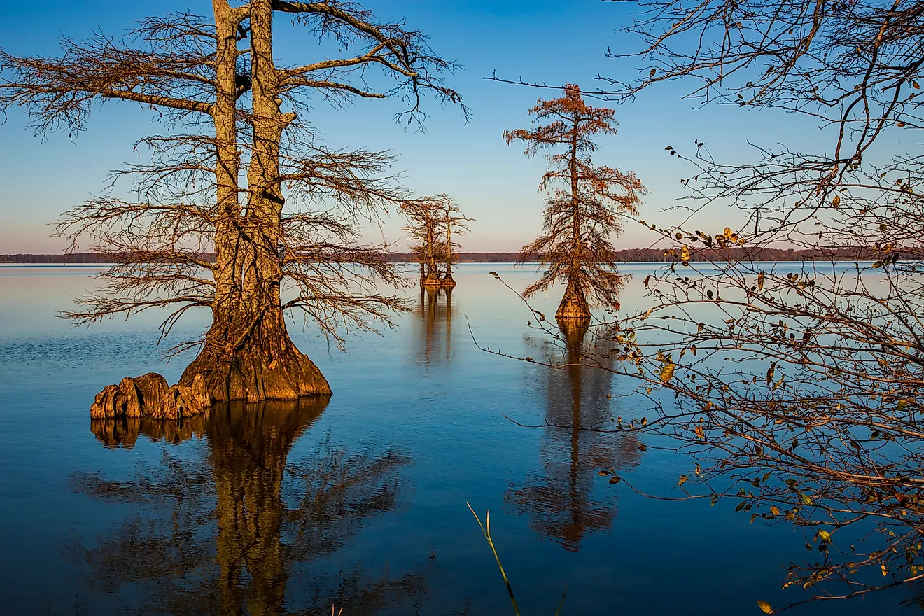
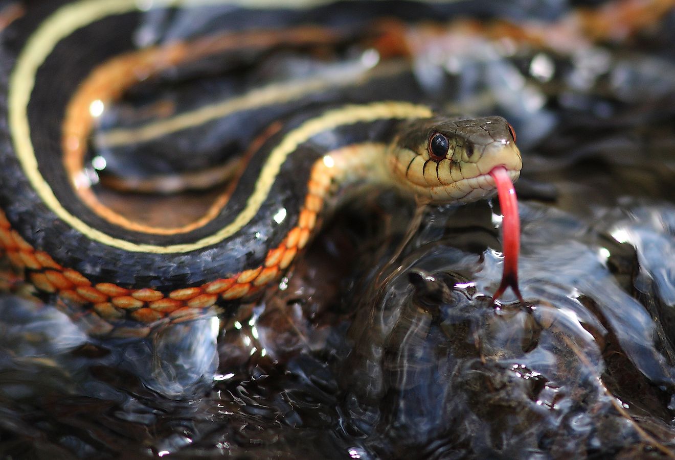
Spanning through savannas, the area hosts an impressive ecological diversity. With ample parts covered by the Mangrove forest, areas prone to swampy wetlands, and steep, rocky cliffs, the site supports a host of plant life. Because the river is so mighty, its mineral deposits and irrigation opportunities allow everything from fruit and peanuts to cotton a chance to thrive. Wildlife native to the area includes various large felines, like the cheetah, lion, and leopard. Together with the gazelles, camels, donkeys, and hippopotami, the site is a veritable treasure trove of nature. The jackals and hyenas lend them, while the crocodiles and ostriches make it a truly unique, magical landscape.
History Of The Jubba River

This river is an irrigation source in both historical and modern times. The area lines limestone banks that include a vast array of minerals, with the water mixing with the ground to provide a fertile environment. These support cotton, groundnuts, maize, sesame, and fruit farming that extends up to 300 miles inland. In a desert environment, this rich potential attracted many and helped to start empires.
One such empire was the Ajuran period in the 13th century. It rose to power through hydraulic technology, including cisterns and limestone wells. The position of the wells as centrally governed made it a place for mediation between nomadic Somalians and those around the Horn of Africa. This resulted in trade centers, including the iconic Mogadishu, and lesser-known centers like Jobyo. At its historical peak, the area supported trade from Arabia to China.
Modern Jubba River Facts

Now under the purview of the Republic of Somaliland, the culture incorporates the four seasons: Gu and Hagaa, spring and summer, respectively. Dayr and Jiilaal refer to fall and winter, respectively. The rainy season last from April through to June. The high water levels create an abundance of surface water. Hagaa is a typically hot and windy season, though humidity remains at a low average of 63%. Because of the environment, the areas surrounding Jubba River have temperatures that range from 77°F to 95°F. While the region is still a developing economy, the nation acknowledges that agriculture and mining have significant potential, with the Jubba River supporting the land's success.
