9 Most Scenic Road Trips to Take in California's Sierra Nevada
Long after the end of California's gold rush, people continue to flock to the Sierra Nevada mountains from across the world for its wondrous beauty. Sky-blue lakes, groves of giant sequoias, and geological wonders await those who climb the High Sierra for themselves. If you are looking for help planning an unforgettable road trip through this world-famous mountain range, here are nine of the most popular attractions for tourists in search of some of the rugged natural beauty that the Southwest is known for.
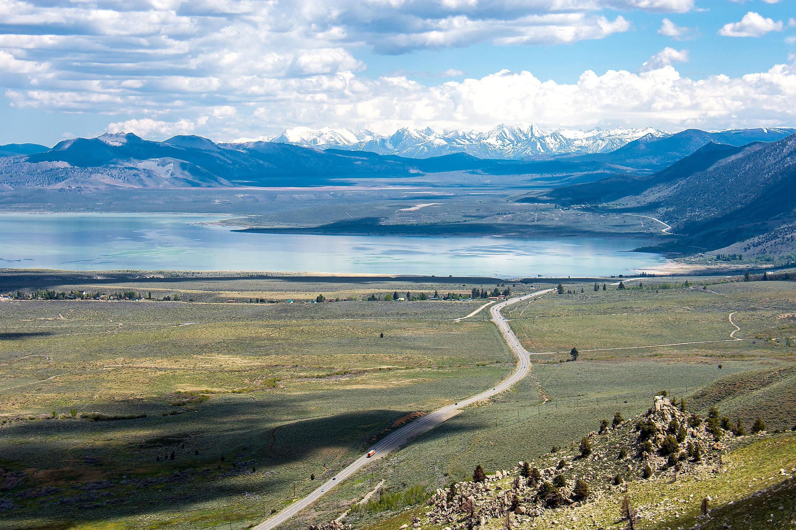
Highway 395

This scenic highway strikes through the heart of the eastern Sierra Nevada mountains, carving through desert brush and lush greenery in equal parts. At its peak of 10,000 feet and stretching over 1,300 miles, this highway offers a beautiful view of the mountain range and the state at large. Stop at the Arch Loop Trail and catch a glimpse of Mount Whitney, the tallest mountain in the contiguous United States, before driving north to Mammoth Lakes, the site of California's biggest ski resort. Start this road trip from as far south as Los Angeles and end in Lake Tahoe a week later for the best results, and remember to bring your binoculars. There is always plenty to see in the Sierra Nevada.
Sierra Vista Scenic Byway

Called a "Hidden Gem" by visitcalifornia.com, this 90-minute circuit south of Yosemite National Park is perfect for those nature lovers who enjoy equal parts scenery and solitude. Though less frequented than some of the state's better-known sights, this full-day excursion delights with glacial peaks and rolling granite hills on a full sumptuous display. Start at Minarets Road two miles outside of North Fork, and prepare to be treated at every turn to thickly packed meadows, conifers, and the Bible-predating Bull Buck Tree. Make sure to stop at Mile High Vista, which grants a fantastic view of Mammoth Pool, an excellent place for fishing or just catching one's breath. Drive cautiously as parts of the byway may not be open early in the spring and can sometimes be closed due to road damage.
Tioga Road

Formerly used in the 19th century to transport raw ore to refineries, Tioga Road is now open to the public and is considered one of the most scenic roads in the country due to its elevation and panoramic views of Yosemite National Park. Olmstead Point is popular with tourists nearly year-round thanks to its situation between mountainous granite folds, which roll far off into the distance. Itching for an alpine dip? Tioga Pass is also host to the splendid and picturesque Tenaya Lake. Next, stop in at the famed Mariposa Grove to see the most extensive collection of giant sequoias at Yosemite. To start this road trip, take Highway 120 toward Big Oak Flat Road until you reach Tioga for an unforgettable experience.
Gold Country Route

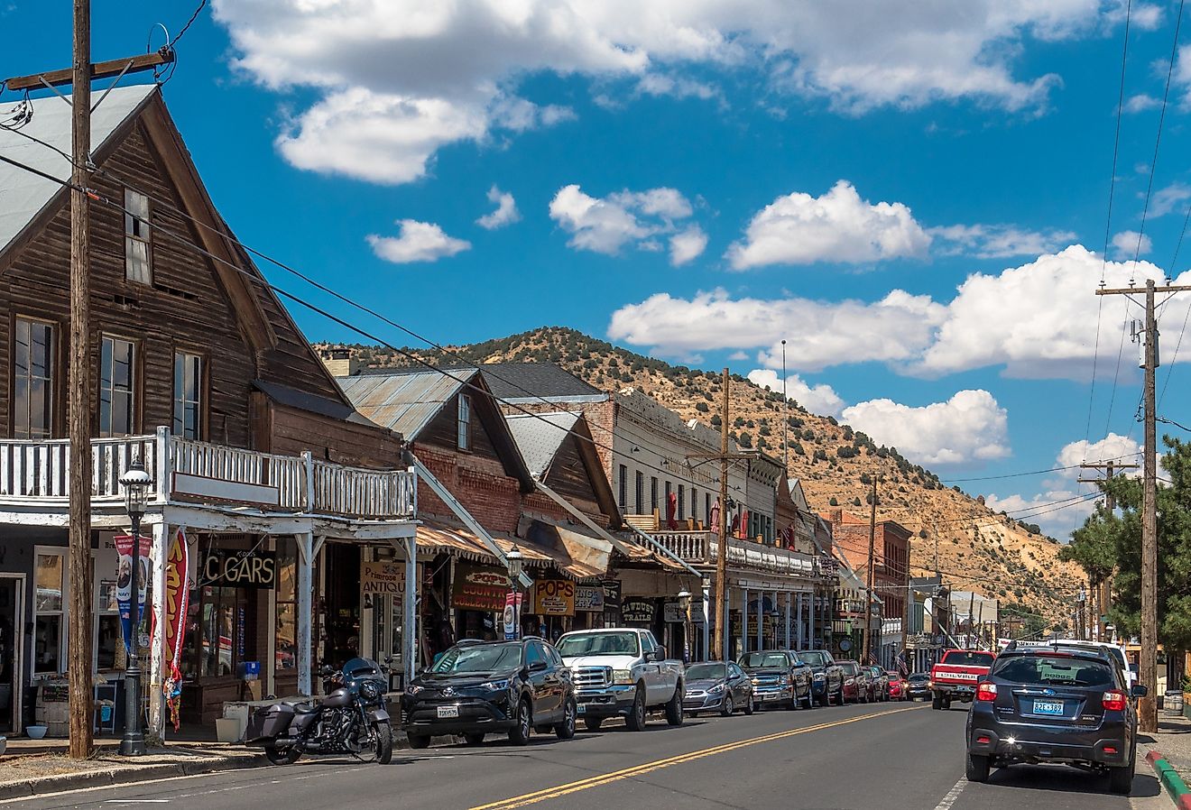
California's gold rush era was one of undeniable change for the state. Travelers from around the world raced to the Sierra Nevada foothills to make their fortunes panhandling for gold, and innumerable communities sprouted up to house, clothe and feed the influx of visitors to the region. Today, the Gold Rush Trail is over 300 miles of California history, beginning 14 miles south of Yosemite National Park in Oakhurst. Visit the 19th-century mining towns, which have been lovingly preserved for insight into life as a Californian settler. Head north to Jamestown's Railtown 1897 State Historic Park, where visitors can pan for gold in the pioneering tradition. Then knock back a delicious sarsaparilla and take in the scenery at Columbia State Historic Park, just like the pioneers did nearly 200 years ago.
Ebbett's Pass

Snaking out from between Yosemite National Park and Lake Tahoe, Ebbett's Pass is equal parts rugged and secluded and has been called a must-see for those with a full tank of gas and an appetite for the sublime. From the byway, travelers can just as easily spot meadows and mineral pools as they can ancient basalt caused by contract lava thousands of years ago. The pass is part of both Highways 4 and 89 and stretches for over 60 miles. It can be found between the towns of Arnold and Markleeville of Calaveras and Alpine counties, respectively. Ebbett's Pass links two incredible California parks, Calaveras Big Trees and Grover Hot Springs. Between these two parks are wilderness areas, forests, and the Carson rivers of unmistakable beauty waiting to be enjoyed by first-time visitors and return customers alike.
Monitor Pass

Ten miles east of Ebbett's Pass is Another mountain roadway popular with motorcyclists due to its twisting turns and mild traffic. Nestled within Alpine County, Monitor Pass carves its way through the Sierra at 8,314 feet above sea level. The pass is found on California State Route 89 near the town of Markleeville from the west and south of Topaz Lake on the Nevada border from the east. Switchbacks cutting through aspen trees lead to the summit and views of the seemingly endless Great Basin Desert. Visitors have been known to miss the summit, so keep an eye out for a stone marker on the highway's southern edge. Sadly, Monitor Pass is usually closed for the winter, so be sure to plan this road trip during warmer seasons.
Echo Summit

Nearly 7,500 feet above sea level, this corridor of Highway 50 over Echo Summit can be as enjoyable for drivers as it is for outdoorsmen on their way to Lake Tahoe. Looking for something a little closer? Visitors to Echo Lake will find camping, fishing, hiking, and watersports are only a few of the activities on offer. Echo Summit is usually open in the winter, but do not expect the same easy riding and free-flowing traffic offered by some of the other mountain passes. Vacationers often frequent Echo Summit on their way to popular Lake Tahoe in the summer months, and it can be clogged with traffic during long weekends and holidays. Drivers can make use of the frequent starts and stops to take in the majestic views and natural beauty of the Sierra though.
Carson Pass

Leading from the humble town of Pine Grove to deep in the heart of the Sierra Nevada, the corridor of Highway 88 known as Carson Pass winds through some of the most incredible scenery on offer in the Southwest. From stunning mountain lakes which freeze solid in the winter to the titanic granite peaks cresting towards the sun in the distance, Carson Pass is a favorite among those in the know. Carson is also favored by drivers for its light traffic, especially when compared to I-80 over Donner Summit or US 50 over Echo Summit. Carson Pass is mostly open during the winter but has been known to close temporarily after storms or avalanches.
In short, the Sierra Nevada is an unforgettable natural wonder and a jewel of the American Southwest. Bursting with history, this mountain range is a bonafide national treasure nestled in the California heartland. A road trip through the High Sierra is bound to offer unbelievable world-class views and an awe-inspiring experience for young and old, regardless of which of these nine routes one chooses. Fishing, hiking, and every winter sport imaginable await visitors to the Sierra Nevada. Nature lovers looking to experience unmatched alpine beauty should definitely take a road trip through this storied Californian mountain range.