Where is Douglas County, Wisconsin?
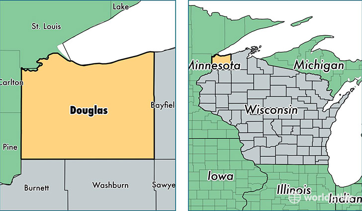
Douglas County is a county equivalent area found in Wisconsin, USA. The county government of Douglas is found in the county seat of Superior.
With a total 3,832.35 sq. km of land and water area, Douglas County, Wisconsin is the 454th largest county equivalent area in the United States. Home to 43,698 people, Douglas County has a total 22794 households earning 45418 on average per year.
Douglas County, Wisconsin - Quick Facts
| FIPS Code | 55031 |
| Area Codes | 715 |
| Time Zone | CST |
| Major Cities | Superior (population: 30,511), South Range (population: 3,615), Solon Springs (population: 2,786), Lake Nebagamon (population: 1,950), Poplar (population: 1,310), Gordon (population: 1,093), Foxboro (population: 1,070), Maple (population: 981), Brule (population: 860), Hawthorne (population: 183) |
| Land Area | 16,872 sq miles |
| Water Area | 1,304 sq miles |
| Household Income | $45,418 |
| Housing Units | 22,794 |
| Median Home Value | $130,600 |
| High School Grads | 93% of population |
| Holders of Bachelors Degrees | 22% of population |
| Retail Spending | $11,523 per capita |
| Food & Accomodation Sales | $76,565 per capita |
This page was last updated on June 30, 2016.