Sawyer County, WI, USA
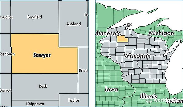
Sawyer County is a county equivalent area found in Wisconsin, USA. The county government of Sawyer is found in the county seat of Hayward.
With a total 3,497.11 sq. km of land and water area, Sawyer County, Wisconsin is the 502nd largest county equivalent area in the United States. Home to 16,437 people, Sawyer County has a total 16107 households earning 39904 on average per year.
Sawyer County, Wisconsin - Quick Facts
| FIPS Code | 55113 |
| Area Codes | 715 |
| Time Zone | CST |
| Major Cities | Hayward (population: 11,500), Stone Lake (population: 1,549), Winter (population: 1,480), Exeland (population: 1,015), Couderay (population: 678), Radisson (population: 435), Ojibwa (population: 261), Edgewater (population: 16) |
| Land Area | 6,346 sq miles |
| Water Area | 1,257 sq miles |
| Household Income | $39,904 |
| Housing Units | 16,107 |
| Median Home Value | $162,500 |
| High School Grads | 90% of population |
| Holders of Bachelors Degrees | 22% of population |
| Retail Spending | $13,223 per capita |
| Food & Accomodation Sales | $74,686 per capita |
| Universities and Colleges | Lac Courte Oreilles Ojibwa Community College |