Where is Saint Louis County, Minnesota?
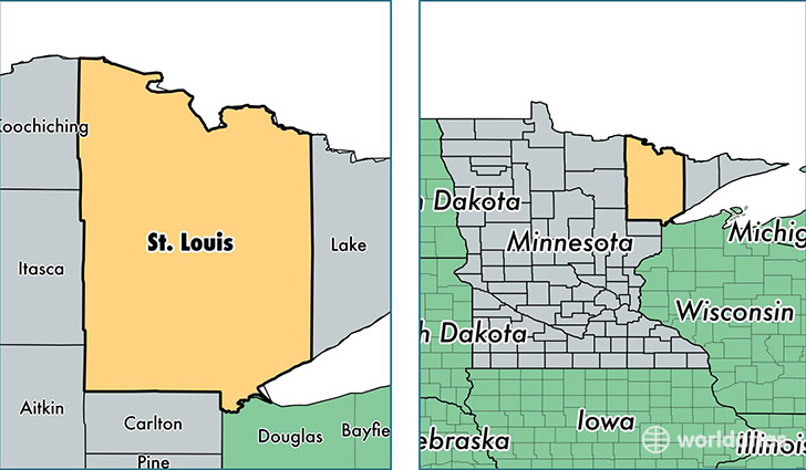
Saint Louis County is a county equivalent area found in Minnesota, USA. The county government of Saint Louis is found in the county seat of Duluth.
With a total 17,766.01 sq. km of land and water area, Saint Louis County, Minnesota is the 50th largest county equivalent area in the United States. Home to 200,949 people, Saint Louis County has a total 102879 households earning 46517 on average per year.
Saint Louis County, Minnesota - Quick Facts
| FIPS Code | 27137 |
| Area Codes | 218 |
| Time Zone | CST |
| Major Cities | Duluth (population: 116,737), Hibbing (population: 17,236), Virginia (population: 10,111), Eveleth (population: 6,215), Chisholm (population: 5,897), Ely (population: 5,819), Saginaw (population: 3,756), Aurora (population: 3,300), Gilbert (population: 3,165), Mountain Iron (population: 2,844) |
| Land Area | 77,587 sq miles |
| Water Area | 6,248 sq miles |
| Household Income | $46,517 |
| Housing Units | 102,879 |
| Median Home Value | $137,500 |
| High School Grads | 93% of population |
| Holders of Bachelors Degrees | 26% of population |
| Retail Spending | $14,051 per capita |
| Food & Accomodation Sales | $498,616 per capita |
| Universities and Colleges | Cosmetology Careers Unlimited-Duluth, Mesabi Range Community and Technical College, University of Minnesota-Duluth |
This page was last updated on June 30, 2016.