Where is Kent, WA?
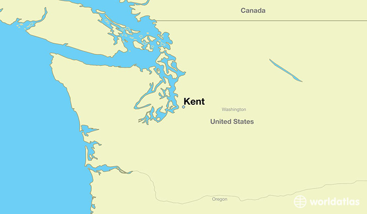
Kent is a city found in Washington, The United States Of America. It is located 47.38 latitude and -122.23 longitude and it is situated at elevation 14 meters above sea level.
Kent has a population of 92,411 making it the 7th biggest city in Washington. It operates on the PDT time zone, which means that it follows the same time zone as Seattle.
Quick facts
| Country | The United States Of America |
| State | Washington |
| Population | 92,411 |
| Elevation | 14 m over sea level |
| Time Zone | PDT |
| Longitude | -122.234840 |
| Latitude | 47.380930 |
Kent has a population of around 124292, of which 62089 (49%) are male and 62203 (50%) are female. The average age of the inhabitants of Kent is 34.93, meaning that the average person is below the national median age of 37. For every male, there are approximately 1 females, meaning that the population is relatively evenly distributed between males and female(s).
Of Kent's 124292 residents, around 116665 (93.90%) identify as having a single race. The majority of the population is white, which consists of 55.50% of the population. Of the remaining population, 13221 are black/African Americans (10.60%), 1421 are native Americans (1.10%), 22106 are asians (17.00%), 3076 are pacific islanders (2.50%), 7921 are other (6.40%).
The median income of households in Kent is $60191.00, meaning that most of the households are above the poverty threshold for families of three. Of the total population, 6.10% of households reported an annual income of less than $10,000.
Kent, WA Zipcodes
The city of Kent has 10 zipcodes recognized by the United States Census Bureau: 98030, 98031, 98032, 98038, 98042, 98051, 98055, 98092, 98188, 98198.