Where is Vancouver, WA?
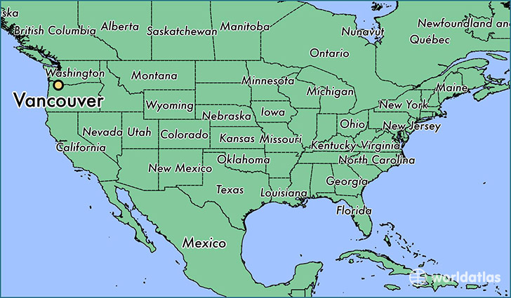
Vancouver is a city found in Washington, The United States Of America. It is located 45.64 latitude and -122.66 longitude and it is situated at elevation 57 meters above sea level.
Vancouver has a population of 161,791 making it the 4th biggest city in Washington. It operates on the PDT time zone, which means that it follows the same time zone as Seattle.
Quick facts
| Country | The United States Of America |
| State | Washington |
| Population | 161,791 |
| Elevation | 57 m over sea level |
| Time Zone | PDT |
| Longitude | -122.661490 |
| Latitude | 45.638730 |
Vancouver has a population of around 168050, of which 81789 (48%) are male and 86261 (51%) are female. The average age of the inhabitants of Vancouver is 37.49, meaning that the average person is above the national median age of 37. For every male, there are approximately 1.05 females, meaning that the population is relatively evenly distributed between males and female(s).
Of Vancouver's 168050 residents, around 158425 (94.30%) identify as having a single race. The majority of the population is white, which consists of 78.80% of the population. Of the remaining population, 4841 are black/African Americans (2.90%), 1285 are native Americans (0.80%), 8987 are asians (5.30%), 2806 are pacific islanders (1.70%), 8044 are other (4.80%).
The median income of households in Vancouver is $50626.00, meaning that most of the households are above the poverty threshold for families of three. Of the total population, 5.90% of households reported an annual income of less than $10,000.
Vancouver, WA Zipcodes
The city of Vancouver has 10 zipcodes recognized by the United States Census Bureau: 98607, 98660, 98661, 98662, 98663, 98664, 98665, 98682, 98683, 98684.