Where is Federal Way, WA?
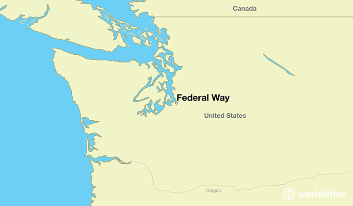
Federal Way is a city found in Washington, The United States Of America. It is located 47.32 latitude and -122.31 longitude and it is situated at elevation 142 meters above sea level.
Federal Way has a population of 89,306 making it the 11th biggest city in Washington. It operates on the PDT time zone, which means that it follows the same time zone as Seattle.
Quick facts
| Country | The United States Of America |
| State | Washington |
| Population | 89,306 |
| Elevation | 142 m over sea level |
| Time Zone | PDT |
| Longitude | -122.312620 |
| Latitude | 47.322320 |
Federal-way has a population of around 92859, of which 46041 (49%) are male and 46818 (50%) are female. The average age of the inhabitants of Federal-way is 36.61, meaning that the average person is below the national median age of 37. For every male, there are approximately 1.02 females, meaning that the population is relatively evenly distributed between males and female(s).
Of Federal-way's 92859 residents, around 86196 (92.80%) identify as having a single race. The majority of the population is white, which consists of 60.00% of the population. Of the remaining population, 10507 are black/African Americans (11.30%), 884 are native Americans (1.00%), 12452 are asians (13.00%), 1838 are pacific islanders (2.00%), 4770 are other (5.10%).
The median income of households in Federal-way is $55673.00, meaning that most of the households are above the poverty threshold for families of three. Of the total population, 5.90% of households reported an annual income of less than $10,000.
Federal Way, WA Zipcodes
The city of Federal Way has 3 zipcodes recognized by the United States Census Bureau: 98001, 98003, 98023.