Where is Auburn, WA?
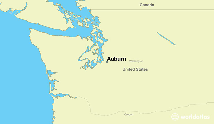
Auburn is a city found in Washington, The United States Of America. It is located 47.31 latitude and -122.23 longitude and it is situated at elevation 25 meters above sea level.
Auburn has a population of 70,180 making it the 14th biggest city in Washington. It operates on the PDT time zone, which means that it follows the same time zone as Seattle.
Quick facts
| Country | The United States Of America |
| State | Washington |
| Population | 70,180 |
| Elevation | 25 m over sea level |
| Time Zone | PDT |
| Longitude | -122.228450 |
| Latitude | 47.307320 |
Auburn has a population of around 74527, of which 36066 (48%) are male and 38461 (51%) are female. The average age of the inhabitants of Auburn is 35.93, meaning that the average person is below the national median age of 37. For every male, there are approximately 1.07 females, meaning that the population is relatively evenly distributed between males and female(s).
Of Auburn's 74527 residents, around 68097 (91.40%) identify as having a single race. The majority of the population is white, which consists of 68.20% of the population. Of the remaining population, 3313 are black/African Americans (4.40%), 1685 are native Americans (2.30%), 7277 are asians (9.80%), 1415 are pacific islanders (1.90%), 3545 are other (4.80%).
The median income of households in Auburn is $59347.00, meaning that most of the households are above the poverty threshold for families of three. Of the total population, 6.20% of households reported an annual income of less than $10,000.
Auburn, WA Zipcodes
The city of Auburn has 7 zipcodes recognized by the United States Census Bureau: 98001, 98002, 98030, 98042, 98092, 98390, 98391.