Where is Spokane County, Washington?
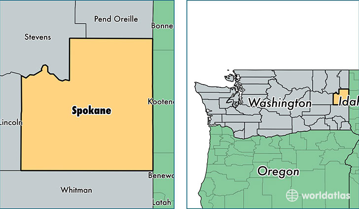
Spokane County is a county equivalent area found in Washington, USA. The county government of Spokane is found in the county seat of Spokane.
With a total 4,611.99 sq. km of land and water area, Spokane County, Washington is the 376th largest county equivalent area in the United States. Home to 484,318 people, Spokane County has a total 204355 households earning 49233 on average per year.
Spokane County, Washington - Quick Facts
| FIPS Code | 53063 |
| Area Codes | 509 |
| Time Zone | PST |
| Major Cities | Spokane (population: 346,133), Cheney (population: 18,552), Veradale (population: 13,097), Greenacres (population: 12,599), Deer Park (population: 12,042), Liberty Lake (population: 9,593), Mead (population: 9,261), Nine Mile Falls (population: 9,074), Medical Lake (population: 8,904), Colbert (population: 8,656) |
| Land Area | 186,996 sq miles |
| Water Area | 1,764 sq miles |
| Household Income | $49,233 |
| Housing Units | 204,355 |
| Median Home Value | $184,700 |
| High School Grads | 93% of population |
| Holders of Bachelors Degrees | 28% of population |
| Retail Spending | $14,777 per capita |
| Food & Accomodation Sales | $780,200 per capita |
| Universities and Colleges | Glen Dow Academy of Hair Design, Gonzaga University, Interface College-Spokane |
This page was last updated on June 30, 2016.