Where is Washington County, Virginia?
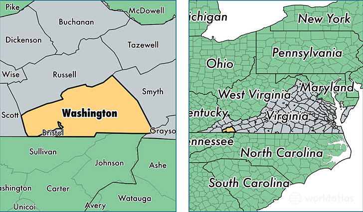
Washington County is a county equivalent area found in Virginia, USA. The county government of Washington is found in the county seat of Abingdon.
With a total 1,465.92 sq. km of land and water area, Washington County, Virginia is the 1950th largest county equivalent area in the United States. Home to 54,729 people, Washington County has a total 25591 households earning 41897 on average per year.
Washington County, Virginia - Quick Facts
| FIPS Code | 51191 |
| Area Codes | 276 |
| Time Zone | EST |
| Major Cities | Abingdon (population: 26,914), Bristol (population: 12,957), Glade Spring (population: 5,689), Meadowview (population: 5,462), Damascus (population: 3,102), Mendota (population: 585), Emory (population: 538) |
| Land Area | 21,131 sq miles |
| Water Area | 561 sq miles |
| Household Income | $41,897 |
| Housing Units | 25,591 |
| Median Home Value | $131,500 |
| High School Grads | 83% of population |
| Holders of Bachelors Degrees | 22% of population |
| Retail Spending | $13,292 per capita |
| Food & Accomodation Sales | $59,216 per capita |
| Universities and Colleges | Emory and Henry College, Virginia Highlands Community College |
This page was last updated on June 30, 2016.