Where is Arlington County, Virginia?
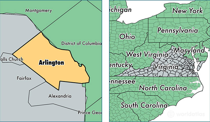
Arlington County is a county equivalent area found in Virginia, USA. The county government of Arlington is found in the county seat of Arlington.
With a total 067.56 sq. km of land and water area, Arlington County, Virginia is the 3118th largest county equivalent area in the United States. Home to 226,908 people, Arlington County has a total 109677 households earning 103208 on average per year.
Arlington County, Virginia offers the following attractions to visitors: William H Taft Tomb, Arlington House NMEM, Arlington National Cemetery, Pentagon Memorial, Tomb of the Unknowns, United States Air Force Memorial, United States Marine Corps War Memorial
Arlington County, Virginia - Quick Facts
| FIPS Code | 51013 |
| Area Codes | 703 |
| Time Zone | EST |
| Major Cities | Arlington (population: 220,800), Fort Myer (population: 689) |
| Land Area | 87,610 sq miles |
| Water Area | 26 sq miles |
| Household Income | $103,208 |
| Housing Units | 109,677 |
| Median Home Value | $584,600 |
| High School Grads | 93% of population |
| Holders of Bachelors Degrees | 72% of population |
| Retail Spending | $12,176 per capita |
| Food & Accomodation Sales | $1,164,025 per capita |
| Universities and Colleges | Graham Webb International Academy of Hair |
This page was last updated on June 30, 2016.