Where is Millard County, Utah?
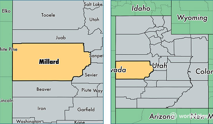
Millard County is a county equivalent area found in Utah, USA. The county government of Millard is found in the county seat of Fillmore.
With a total 17,685.86 sq. km of land and water area, Millard County, Utah is the 51st largest county equivalent area in the United States. Home to 12,606 people, Millard County has a total 4909 households earning 49238 on average per year.
Millard County, Utah - Quick Facts
| FIPS Code | 49027 |
| Area Codes | 435 |
| Time Zone | MST |
| Major Cities | Delta (population: 5,697), Fillmore (population: 3,083), Hinckley (population: 867), Oak City (population: 764), Kanosh (population: 732), Holden (population: 476), Scipio (population: 346), Leamington (population: 295), Garrison (population: 158), Lynndyl (population: 121) |
| Land Area | 4,867 sq miles |
| Water Area | 6,597 sq miles |
| Household Income | $49,238 |
| Housing Units | 4,909 |
| Median Home Value | $132,800 |
| High School Grads | 86% of population |
| Holders of Bachelors Degrees | 19% of population |
| Retail Spending | $10,521 per capita |
| Food & Accomodation Sales | $11,647 per capita |
This page was last updated on June 30, 2016.