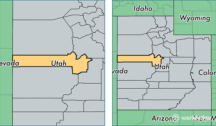
Where is Juab County, Utah?
Juab County is a county equivalent area found in Utah, USA. The county government of Juab is found in the county seat of Nephi.
With a total 8,821.01 sq. km of land and water area, Juab County, Utah is the 158th largest county equivalent area in the United States. Home to 10,486 people, Juab County has a total 3518 households earning 55247 on average per year.
Juab County, Utah - Quick Facts
| FIPS Code | 49023 |
| Area Codes | 435 |
| Time Zone | MST |
| Major Cities | Nephi (population: 5,829), Mona (population: 2,644), Levan (population: 971), Eureka (population: 728) |
| Land Area | 4,049 sq miles |
| Water Area | 3,392 sq miles |
| Household Income | $55,247 |
| Housing Units | 3,518 |
| Median Home Value | $162,600 |
| High School Grads | 90% of population |
| Holders of Bachelors Degrees | 15% of population |
| Retail Spending | $11,743 per capita |
| Food & Accomodation Sales | $7,158 per capita |
This page was last updated on June 30, 2016.