Where is Palo Pinto County, Texas?
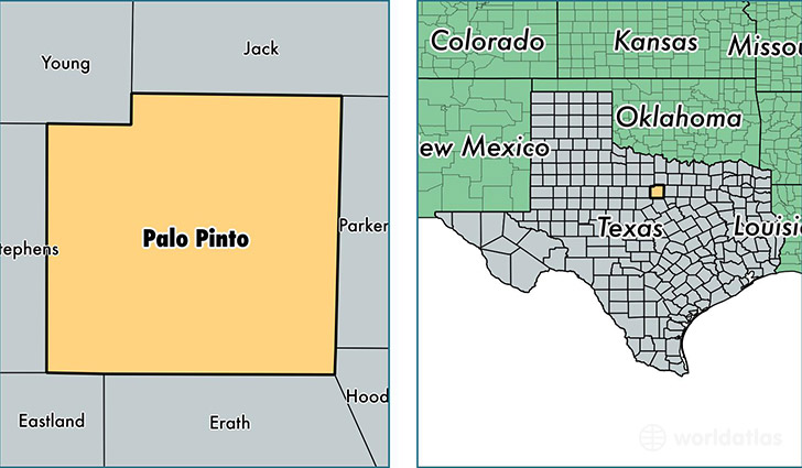
Palo Pinto County is a county equivalent area found in Texas, USA. The county government of Palo Pinto is found in the county seat of Palo Pinto.
With a total 2,552.45 sq. km of land and water area, Palo Pinto County, Texas is the 787th largest county equivalent area in the United States. Home to 28,096 people, Palo Pinto County has a total 15211 households earning 41670 on average per year.
Palo Pinto County, Texas - Quick Facts
| FIPS Code | 48363 |
| Area Codes | 940 |
| Time Zone | CST |
| Major Cities | Mineral Wells (population: 21,991), Graford (population: 2,411), Santo (population: 1,485), Palo Pinto (population: 1,136), Gordon (population: 1,119) |
| Land Area | 10,848 sq miles |
| Water Area | 952 sq miles |
| Household Income | $41,670 |
| Housing Units | 15,211 |
| Median Home Value | $85,200 |
| High School Grads | 79% of population |
| Holders of Bachelors Degrees | 15% of population |
| Retail Spending | $9,972 per capita |
| Food & Accomodation Sales | $44,899 per capita |
This page was last updated on June 30, 2016.