Where is Montague County, Texas?
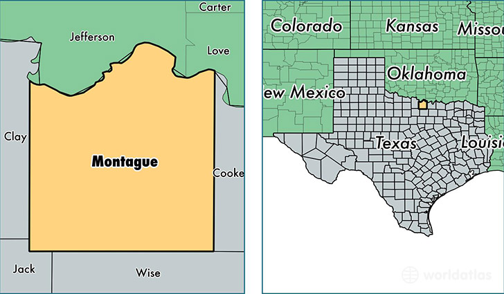
Montague County is a county equivalent area found in Texas, USA. The county government of Montague is found in the county seat of Montague.
With a total 2,430.12 sq. km of land and water area, Montague County, Texas is the 858th largest county equivalent area in the United States. Home to 19,416 people, Montague County has a total 10089 households earning 44231 on average per year.
Montague County, Texas - Quick Facts
| FIPS Code | 48337 |
| Area Codes | 940 |
| Time Zone | CST |
| Major Cities | Bowie (population: 9,633), Nocona (population: 5,368), Saint Jo (population: 1,879), Sunset (population: 1,856), Forestburg (population: 1,081), Montague (population: 725), Ringgold (population: 230) |
| Land Area | 7,497 sq miles |
| Water Area | 931 sq miles |
| Household Income | $44,231 |
| Housing Units | 10,089 |
| Median Home Value | $86,000 |
| High School Grads | 82% of population |
| Holders of Bachelors Degrees | 17% of population |
| Retail Spending | $10,894 per capita |
| Food & Accomodation Sales | $10,935 per capita |
This page was last updated on June 30, 2016.