Where is Clay County, Texas?
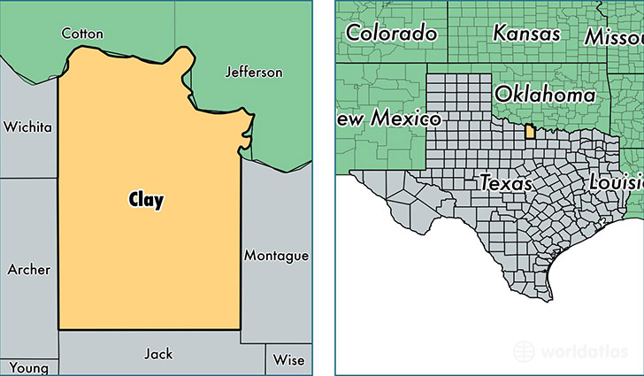
Clay County is a county equivalent area found in Texas, USA. The county government of Clay is found in the county seat of Henrietta.
With a total 2,892.37 sq. km of land and water area, Clay County, Texas is the 651st largest county equivalent area in the United States. Home to 10,370 people, Clay County has a total 5121 households earning 53776 on average per year.
Clay County, Texas - Quick Facts
| FIPS Code | 48077 |
| Area Codes | 940 |
| Time Zone | CST |
| Major Cities | Henrietta (population: 4,733), Bellevue (population: 1,098), Petrolia (population: 785), Byers (population: 697) |
| Land Area | 4,004 sq miles |
| Water Area | 1,089 sq miles |
| Household Income | $53,776 |
| Housing Units | 5,121 |
| Median Home Value | $81,600 |
| High School Grads | 89% of population |
| Holders of Bachelors Degrees | 18% of population |
| Retail Spending | $6,984 per capita |
| Food & Accomodation Sales | $2,572 per capita |
This page was last updated on June 30, 2016.