Where is Lamb County, Texas?
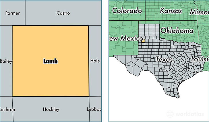
Lamb County is a county equivalent area found in Texas, USA. The county government of Lamb is found in the county seat of Littlefield.
With a total 2,635.87 sq. km of land and water area, Lamb County, Texas is the 749th largest county equivalent area in the United States. Home to 13,574 people, Lamb County has a total 6095 households earning 36727 on average per year.
Lamb County, Texas - Quick Facts
| FIPS Code | 48279 |
| Area Codes | 806 |
| Time Zone | CST |
| Major Cities | Littlefield (population: 7,246), Olton (population: 2,745), Earth (population: 1,428), Sudan (population: 1,319), Amherst (population: 973), Springlake (population: 315), Spade (population: 88), Fieldton (population: 40) |
| Land Area | 5,241 sq miles |
| Water Area | 1,016 sq miles |
| Household Income | $36,727 |
| Housing Units | 6,095 |
| Median Home Value | $56,900 |
| High School Grads | 70% of population |
| Holders of Bachelors Degrees | 14% of population |
| Retail Spending | $6,933 per capita |
| Food & Accomodation Sales | $6,963 per capita |
This page was last updated on June 30, 2016.