Where is Hockley County, Texas?
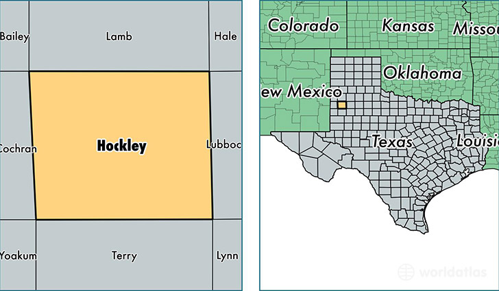
Hockley County is a county equivalent area found in Texas, USA. The county government of Hockley is found in the county seat of Levelland.
With a total 2,353.17 sq. km of land and water area, Hockley County, Texas is the 926th largest county equivalent area in the United States. Home to 23,577 people, Hockley County has a total 9241 households earning 50565 on average per year.
Hockley County, Texas - Quick Facts
| FIPS Code | 48219 |
| Area Codes | 806 |
| Time Zone | CST |
| Major Cities | Levelland (population: 17,073), Anton (population: 1,580), Sundown (population: 1,442), Ropesville (population: 1,123), Smyer (population: 648), Whitharral (population: 198), Pep (population: 10) |
| Land Area | 9,103 sq miles |
| Water Area | 908 sq miles |
| Household Income | $50,565 |
| Housing Units | 9,241 |
| Median Home Value | $79,300 |
| High School Grads | 77% of population |
| Holders of Bachelors Degrees | 17% of population |
| Retail Spending | $9,075 per capita |
| Food & Accomodation Sales | $19,778 per capita |
This page was last updated on June 30, 2016.