Where is La Salle County, Texas?
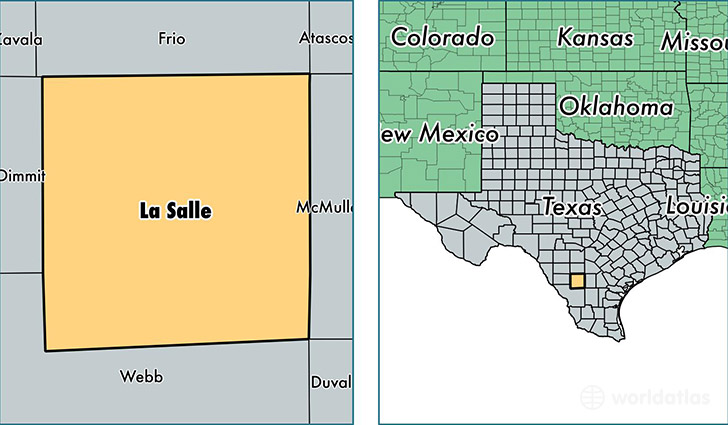
La Salle County is a county equivalent area found in Texas, USA. The county government of La Salle is found in the county seat of Cotulla.
With a total 3,870.05 sq. km of land and water area, La Salle County, Texas is the 451st largest county equivalent area in the United States. Home to 7,474 people, La Salle County has a total 2837 households earning 26756 on average per year.
La Salle County, Texas - Quick Facts
| FIPS Code | 48283 |
| Area Codes | 830,956 |
| Time Zone | CST |
| Major Cities | Cotulla (population: 5,148), Encinal (population: 1,915), Fowlerton (population: 129), Artesia Wells (population: 34) |
| Land Area | 2,886 sq miles |
| Water Area | 1,487 sq miles |
| Household Income | $26,756 |
| Housing Units | 2,837 |
| Median Home Value | $48,200 |
| High School Grads | 53% of population |
| Holders of Bachelors Degrees | 5% of population |
| Retail Spending | $13,480 per capita |
| Food & Accomodation Sales | $5,336 per capita |
This page was last updated on June 30, 2016.